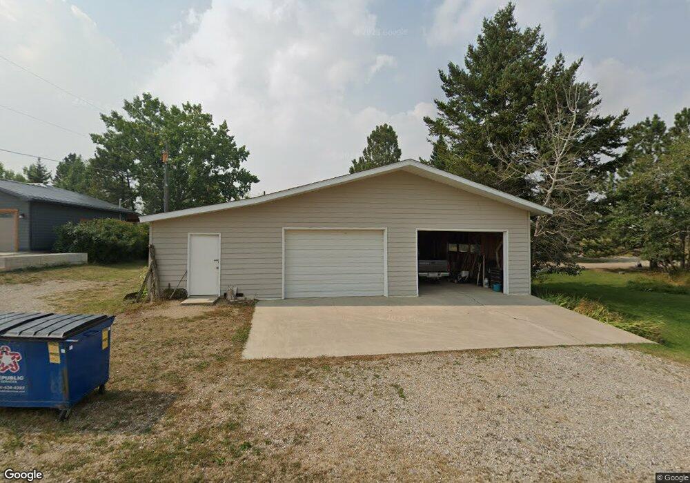
1205 Wright St Lewistown, MT 59457
Estimated Value: $432,731 - $791,000
5
Beds
3
Baths
3,300
Sq Ft
$175/Sq Ft
Est. Value
About This Home
This home is located at 1205 Wright St, Lewistown, MT 59457 and is currently estimated at $578,433, approximately $175 per square foot. 1205 Wright St is a home located in Fergus County with nearby schools including Fergus High School.
Ownership History
Date
Name
Owned For
Owner Type
Purchase Details
Closed on
Oct 25, 2024
Sold by
Davidson Meghan Elizabeth and Monfils Cody James
Bought by
Monfils Cody James and Monfils Meghan Elizabeth
Current Estimated Value
Home Financials for this Owner
Home Financials are based on the most recent Mortgage that was taken out on this home.
Original Mortgage
$386,928
Outstanding Balance
$383,054
Interest Rate
6.09%
Mortgage Type
FHA
Estimated Equity
$195,379
Purchase Details
Closed on
Sep 11, 2023
Sold by
Perry Jeff B
Bought by
Monfils Cody James and Davidson Meghan Elizabeth
Home Financials for this Owner
Home Financials are based on the most recent Mortgage that was taken out on this home.
Original Mortgage
$384,106
Interest Rate
7.23%
Mortgage Type
FHA
Create a Home Valuation Report for This Property
The Home Valuation Report is an in-depth analysis detailing your home's value as well as a comparison with similar homes in the area
Home Values in the Area
Average Home Value in this Area
Purchase History
| Date | Buyer | Sale Price | Title Company |
|---|---|---|---|
| Monfils Cody James | -- | Flying S Title And Escrow | |
| Monfils Cody James | -- | None Listed On Document |
Source: Public Records
Mortgage History
| Date | Status | Borrower | Loan Amount |
|---|---|---|---|
| Open | Monfils Cody James | $386,928 | |
| Previous Owner | Monfils Cody James | $384,106 |
Source: Public Records
Tax History Compared to Growth
Tax History
| Year | Tax Paid | Tax Assessment Tax Assessment Total Assessment is a certain percentage of the fair market value that is determined by local assessors to be the total taxable value of land and additions on the property. | Land | Improvement |
|---|---|---|---|---|
| 2025 | $2,654 | $479,300 | $0 | $0 |
| 2024 | $3,348 | $392,800 | $0 | $0 |
| 2023 | $2,984 | $346,400 | $0 | $0 |
| 2022 | $2,895 | $277,100 | $0 | $0 |
| 2021 | $2,521 | $277,100 | $0 | $0 |
| 2020 | $2,197 | $237,300 | $0 | $0 |
| 2019 | $2,184 | $237,300 | $0 | $0 |
| 2018 | $2,114 | $225,800 | $0 | $0 |
| 2017 | $2,016 | $225,800 | $0 | $0 |
| 2016 | $2,067 | $227,200 | $0 | $0 |
| 2015 | $1,977 | $227,200 | $0 | $0 |
| 2014 | $1,938 | $124,709 | $0 | $0 |
Source: Public Records
Map
Nearby Homes
- 706 Vrooman St
- 501 Wright St
- 414 Warr St
- NHN A St
- Nhn Hwy 191
- NHN Truck Bypass
- TBD Truck Bypass
- 35 acres Truck Bypass
- 0 Tbd Unit 20682760
- 0 Tbd Unit 11290776
- 1014 Mountain View Dr
- 412 W Huron St
- 105 Hillcrest Dr
- 628 Mountain View Dr
- 632 Mountain View Dr
- 313 W Idaho St
- 316 W Corcoran St
- 318 W Evelyn St
- 514 2nd Ave N
- 1011 W Broadway St
- 700 Cook Ave
- 701 Cook Ave
- 1201 Reynolds St
- 1115 Reynolds St
- 1114 Reynolds St
- 1201 White St
- 1111 White St
- Reynolds St
- 1200 White St
- 2053 Lane St
- 1014 Reynolds St
- Nhn Reynolds St
- 1001 Cochrane Ave
- 1015 White St
- 1002 Cochrane Ave
- 1214 White St
- 300 Snowy Mountain Dr
- 312 Snowy Mountain Dr
- 915 Reynolds St
- 1101 Lane St