1206 1st Crown Point Rd Strafford, NH 03884
Estimated Value: $478,344 - $523,000
2
Beds
1
Bath
1,362
Sq Ft
$367/Sq Ft
Est. Value
About This Home
This home is located at 1206 1st Crown Point Rd, Strafford, NH 03884 and is currently estimated at $499,781, approximately $366 per square foot. 1206 1st Crown Point Rd is a home with nearby schools including Strafford School and Coe-Brown Northwood Academy.
Ownership History
Date
Name
Owned For
Owner Type
Purchase Details
Closed on
May 12, 1989
Bought by
Brooker Eric E and Brooker Patricia A
Current Estimated Value
Create a Home Valuation Report for This Property
The Home Valuation Report is an in-depth analysis detailing your home's value as well as a comparison with similar homes in the area
Home Values in the Area
Average Home Value in this Area
Purchase History
| Date | Buyer | Sale Price | Title Company |
|---|---|---|---|
| Brooker Eric E | $42,000 | -- |
Source: Public Records
Tax History Compared to Growth
Tax History
| Year | Tax Paid | Tax Assessment Tax Assessment Total Assessment is a certain percentage of the fair market value that is determined by local assessors to be the total taxable value of land and additions on the property. | Land | Improvement |
|---|---|---|---|---|
| 2024 | $5,841 | $295,600 | $63,900 | $231,700 |
| 2023 | $5,510 | $295,600 | $63,900 | $231,700 |
| 2022 | $5,070 | $296,000 | $64,300 | $231,700 |
| 2021 | $5,627 | $304,800 | $64,300 | $240,500 |
| 2020 | $4,897 | $190,900 | $55,600 | $135,300 |
| 2019 | $4,478 | $190,800 | $55,500 | $135,300 |
| 2018 | $4,565 | $193,200 | $55,500 | $137,700 |
| 2016 | $4,108 | $193,300 | $55,600 | $137,700 |
| 2015 | $4,209 | $193,000 | $72,800 | $120,200 |
| 2014 | $4,470 | $193,000 | $72,800 | $120,200 |
| 2013 | $4,187 | $184,600 | $73,000 | $111,600 |
| 2012 | $4,131 | $184,600 | $73,000 | $111,600 |
Source: Public Records
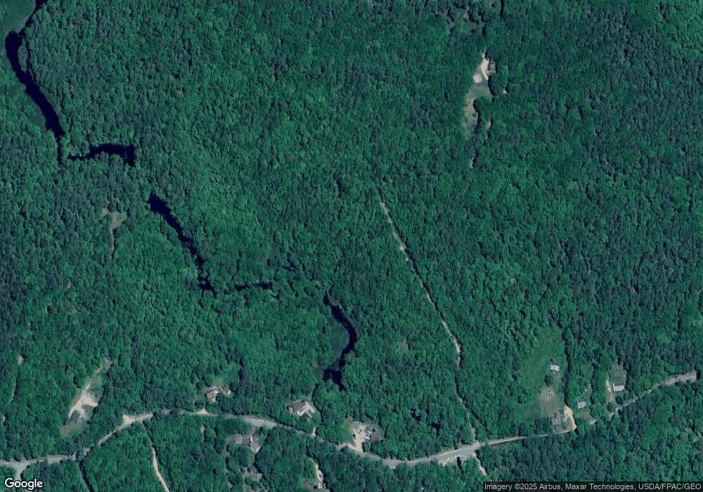
Map
Nearby Homes
- 22 Stonewall Dr
- 825 Second Crown Point Rd
- 479 Ten Rod Rd
- 77 Holmes Rd
- 301 Muchado Hill Rd
- 38 Chapelle Rd
- 956 N Barnstead Rd
- Lot 3 Ridge Rd
- 24 Ragged Mountain Rd
- L68-2 Vail Rd
- 260 New Rd
- 152 Evans Rd
- L68-1 Vail Rd
- 8 King Arthur Dr
- 0 Strafford Rd Unit 5057984
- 109 Vail Rd
- 8 Marshall Ln
- TBD Merlin Rd
- 572 S Barnstead Rd
- 42 Trotting Park Rd
- 1225 1st Crown Point Rd
- 1226 1st Crown Point Rd
- 1226 1st Crown Point Rd
- 1207 1st Crown Point Rd
- 1194 1st Crown Point Rd
- 1191 1st Crown Point Rd
- 1231 1st Crown Point Rd
- 1185 1st Crown Point Rd
- 1238 1st Crown Point Rd
- 1041 First Crown Point Rd
- 1164 1st Crown Point Rd
- 1164 1st Crown Point Rd
- 1179 1st Crown Point Rd
- 244 Little Niagara Rd
- 1160 1st Crown Point Rd
- 1156 1st Crown Point Rd
- 1245 1st Crown Point Rd
- 240 Little Niagara Rd
- 1270 1st Crown Point Rd
- 1180 1st Crown Point Rd