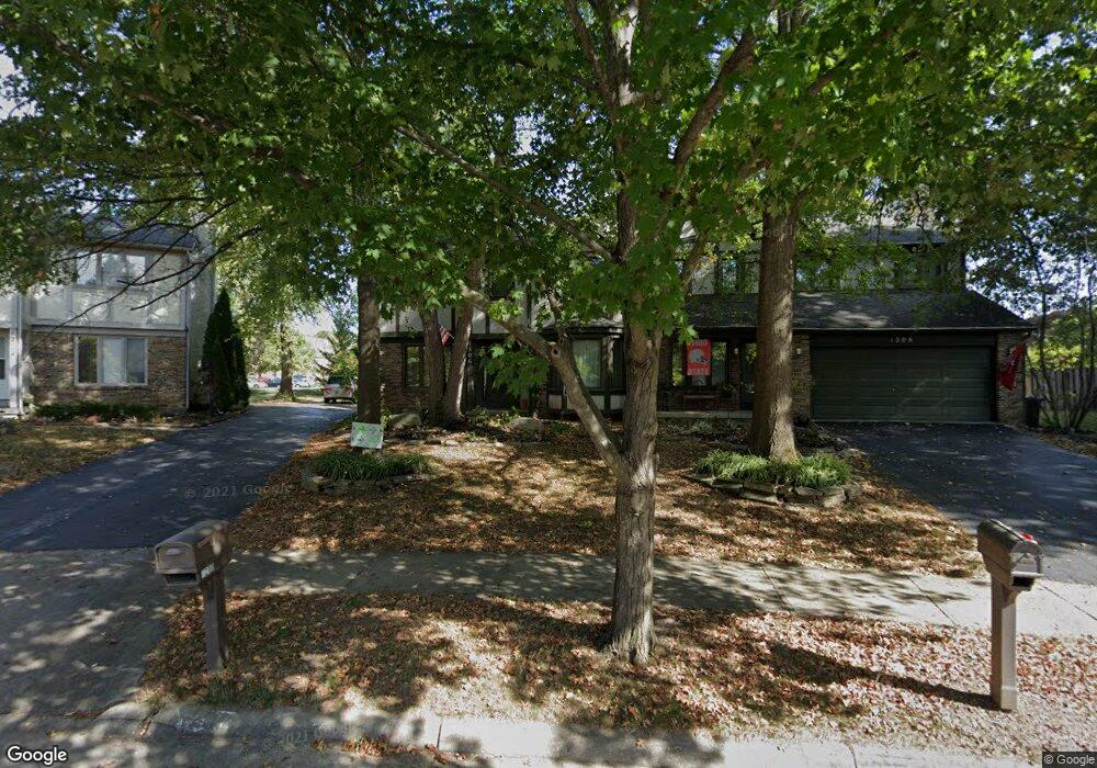
1206 Colston Dr Unit 208 Westerville, OH 43081
Estimated Value: $451,000 - $544,839
6
Beds
6
Baths
3,639
Sq Ft
$139/Sq Ft
Est. Value
About This Home
This home is located at 1206 Colston Dr Unit 208, Westerville, OH 43081 and is currently estimated at $506,710, approximately $139 per square foot. 1206 Colston Dr Unit 208 is a home located in Franklin County with nearby schools including Mcvay Elementary School, Walnut Springs Middle School, and Westerville-North High School.
Ownership History
Date
Name
Owned For
Owner Type
Purchase Details
Closed on
Mar 12, 2024
Sold by
Heppner Timothy A
Bought by
Trust Agreement Of Timothy Alan Heppner and Heppner
Current Estimated Value
Purchase Details
Closed on
Nov 12, 1992
Bought by
Heppner Timothy A
Purchase Details
Closed on
Jun 7, 1988
Purchase Details
Closed on
Aug 1, 1983
Create a Home Valuation Report for This Property
The Home Valuation Report is an in-depth analysis detailing your home's value as well as a comparison with similar homes in the area
Home Values in the Area
Average Home Value in this Area
Purchase History
| Date | Buyer | Sale Price | Title Company |
|---|---|---|---|
| Trust Agreement Of Timothy Alan Heppner | -- | None Listed On Document | |
| Heppner Timothy A | $185,600 | -- | |
| -- | $156,000 | -- | |
| -- | $143,000 | -- |
Source: Public Records
Tax History Compared to Growth
Tax History
| Year | Tax Paid | Tax Assessment Tax Assessment Total Assessment is a certain percentage of the fair market value that is determined by local assessors to be the total taxable value of land and additions on the property. | Land | Improvement |
|---|---|---|---|---|
| 2024 | $8,094 | $140,740 | $23,630 | $117,110 |
| 2023 | $7,924 | $140,735 | $23,625 | $117,110 |
| 2022 | $7,959 | $107,940 | $19,950 | $87,990 |
| 2021 | $8,026 | $107,940 | $19,950 | $87,990 |
| 2020 | $8,003 | $107,940 | $19,950 | $87,990 |
| 2019 | $7,073 | $89,960 | $16,630 | $73,330 |
| 2018 | $6,630 | $89,960 | $16,630 | $73,330 |
| 2017 | $6,960 | $89,960 | $16,630 | $73,330 |
| 2016 | $6,524 | $76,760 | $15,820 | $60,940 |
| 2015 | $6,322 | $76,760 | $15,820 | $60,940 |
| 2014 | $6,327 | $76,760 | $15,820 | $60,940 |
| 2013 | $3,529 | $85,750 | $15,050 | $70,700 |
Source: Public Records
Map
Nearby Homes
- 806 Watten Ln
- 6506 Purplefinch Ct
- 5769 Burntwood Way
- 4432 Scissortail Loop
- 6352 Hibiscus Ct
- 737 Autumn Branch Rd
- 750 Autumn Branch Rd
- 6360 Thrasher Loop
- 4765 Smoketalk Ln Unit 1
- 640 Brook Run Dr
- 4758 Crazy Horse Ln Unit 2
- 994 Autumn Lake Ct
- 4755 Crazy Horse Ln Unit 6
- 4786 Crazy Horse Ln Unit 2
- 800 S Spring Rd
- 1209 Chatham Ridge Rd
- 4816 Crazy Horse Ln Unit 4
- 1003 Autumn Meadows Dr
- 1146 Forest Rise Dr
- 1015 Swanton Ct
- 1214 Colston Dr Unit 216
- 1200-1202 Colston Dr Unit 202
- 1200 Colston Dr Unit 202
- 1226 Colston Dr Unit 228
- 1194 Colston Dr Unit 196
- 1234 Colston Dr Unit 236
- 1213 Colston Dr
- 1187 Colston Dr Unit 189
- 1207 Colston Dr
- 1225 Colston Dr
- 1201 Colston Dr
- 1242 Colston Dr Unit 244
- 1195 Colston Dr
- 1233 Colston Dr
- 1244 Colston Dr
- 1219 Norway Ln
- 1218 Norway Ln
- 1252 Colston Dr Unit 254
- 1241 Colston Dr