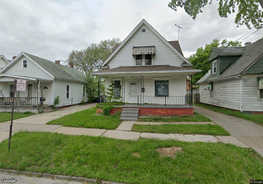
1206 Colton St Toledo, OH 43609
Southside NeighborhoodEstimated Value: $65,000 - $88,000
4
Beds
1
Bath
1,575
Sq Ft
$47/Sq Ft
Est. Value
About This Home
This home is located at 1206 Colton St, Toledo, OH 43609 and is currently estimated at $73,887, approximately $46 per square foot. 1206 Colton St is a home located in Lucas County with nearby schools including Walbridge Elementary School, Bowsher High School, and Explorers Academy of Science and Technology.
Ownership History
Date
Name
Owned For
Owner Type
Purchase Details
Closed on
Dec 10, 2018
Sold by
Parris Michelle and Lucas County Treasurer
Bought by
Lucas County Land Reutilization Corp
Current Estimated Value
Purchase Details
Closed on
Feb 9, 2006
Sold by
Citifinancial Inc
Bought by
Summerfield Group Llc
Purchase Details
Closed on
Aug 19, 2005
Sold by
Warvel Emma L and Warvel Byron J
Bought by
Citifinancial Inc
Create a Home Valuation Report for This Property
The Home Valuation Report is an in-depth analysis detailing your home's value as well as a comparison with similar homes in the area
Home Values in the Area
Average Home Value in this Area
Purchase History
| Date | Buyer | Sale Price | Title Company |
|---|---|---|---|
| Lucas County Land Reutilization Corp | -- | None Available | |
| Summerfield Group Llc | $27,000 | Chicago Title Insurance Comp | |
| Citifinancial Inc | $30,000 | -- |
Source: Public Records
Tax History Compared to Growth
Tax History
| Year | Tax Paid | Tax Assessment Tax Assessment Total Assessment is a certain percentage of the fair market value that is determined by local assessors to be the total taxable value of land and additions on the property. | Land | Improvement |
|---|---|---|---|---|
| 2024 | $571 | $16,170 | $2,415 | $13,755 |
| 2023 | $943 | $12,285 | $2,135 | $10,150 |
| 2022 | $940 | $12,285 | $2,135 | $10,150 |
| 2021 | $927 | $12,285 | $2,135 | $10,150 |
| 2020 | $912 | $10,255 | $1,785 | $8,470 |
| 2019 | $877 | $10,255 | $1,785 | $8,470 |
| 2018 | $880 | $10,255 | $1,785 | $8,470 |
| 2017 | $946 | $10,395 | $1,785 | $8,610 |
| 2016 | $922 | $29,700 | $5,100 | $24,600 |
| 2015 | $883 | $29,700 | $5,100 | $24,600 |
| 2014 | $672 | $10,400 | $1,790 | $8,610 |
| 2013 | $672 | $10,400 | $1,790 | $8,610 |
Source: Public Records
Map
Nearby Homes
- 1220 South Ave
- 1321 Gordon St
- 1250 Prouty Ave
- 546 Hiett Ave
- 1266 Western Ave
- 549 Spencer St
- 551 Spencer St
- 1106 Orchard St
- 1413 Colburn St
- 1111 Orchard St
- 1023 Prouty Ave
- 1002 Prouty Ave
- 1426 Prouty Ave
- 1441 Prouty Ave
- 1032 Harding Dr
- 936 Orchard St
- 930 Orchard St
- 808 Bartley Place
- 616 Thayer St
- 1521 South Ave
- 1200 Colton St
- 1212 Colton St
- 1214 Colton St
- 410 Daniels Ave
- 1220 Colton St
- 1162 Colton St
- 406 Daniels Ave
- 1211 Walbridge Ave
- 1215 Walbridge Ave
- 1158 Colton St
- 402 Daniels Ave
- 1205 Colton St
- 1203 Colton St
- 1219 Walbridge Ave
- 1207 Colton St
- 1201 Colton St
- 1156 Colton St
- 1215 Colton St
- 1219 Colton St
- 1152 Colton St