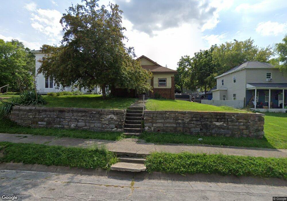
1206 Exchange St Keokuk, IA 52632
Estimated Value: $53,253 - $68,000
2
Beds
1
Bath
1,104
Sq Ft
$56/Sq Ft
Est. Value
About This Home
This home is located at 1206 Exchange St, Keokuk, IA 52632 and is currently estimated at $61,313, approximately $55 per square foot. 1206 Exchange St is a home located in Lee County with nearby schools including George Washington Elementary School, Hawthorne Elementary School, and Keokuk Middle School.
Ownership History
Date
Name
Owned For
Owner Type
Purchase Details
Closed on
Dec 10, 2014
Sold by
Mcguire Robin
Bought by
Jpmorgan Chase Bank Na
Current Estimated Value
Purchase Details
Closed on
Mar 11, 2009
Sold by
Estate Of Harold Leroy Atkins
Bought by
Mcguire Robin R
Home Financials for this Owner
Home Financials are based on the most recent Mortgage that was taken out on this home.
Original Mortgage
$48,775
Interest Rate
5.2%
Mortgage Type
New Conventional
Create a Home Valuation Report for This Property
The Home Valuation Report is an in-depth analysis detailing your home's value as well as a comparison with similar homes in the area
Home Values in the Area
Average Home Value in this Area
Purchase History
| Date | Buyer | Sale Price | Title Company |
|---|---|---|---|
| Jpmorgan Chase Bank Na | -- | None Available | |
| Mcguire Robin R | $46,500 | None Available |
Source: Public Records
Mortgage History
| Date | Status | Borrower | Loan Amount |
|---|---|---|---|
| Previous Owner | Mcguire Robin R | $48,775 |
Source: Public Records
Tax History Compared to Growth
Tax History
| Year | Tax Paid | Tax Assessment Tax Assessment Total Assessment is a certain percentage of the fair market value that is determined by local assessors to be the total taxable value of land and additions on the property. | Land | Improvement |
|---|---|---|---|---|
| 2024 | $1,110 | $43,250 | $7,200 | $36,050 |
| 2023 | $1,000 | $43,250 | $7,200 | $36,050 |
| 2022 | $854 | $35,740 | $7,200 | $28,540 |
| 2021 | $854 | $35,740 | $7,200 | $28,540 |
| 2020 | $874 | $36,500 | $7,630 | $28,870 |
| 2019 | $918 | $36,500 | $7,630 | $28,870 |
| 2018 | $886 | $34,440 | $0 | $0 |
| 2017 | $886 | $34,440 | $0 | $0 |
| 2016 | $868 | $34,440 | $0 | $0 |
| 2015 | $868 | $34,440 | $0 | $0 |
| 2014 | $640 | $34,440 | $0 | $0 |
Source: Public Records
Map
Nearby Homes
- 210 S 10th St
- 1409 Johnson St
- 1329 Des Moines St
- 913 Timea St
- 1428 Des Moines St
- 1023 Palean St
- 1102 Concert St
- 800 Bank St
- 1215 Concert St
- 1125 Concert St
- 1613 Des Moines St
- 1606 Des Moines St
- 415 S 8th St
- 717 Timea St
- 1102 High St
- 126 S 7th St
- 1004 & 1008 High St S
- 1721 Johnson St
- 1213 High St
- 1527 Carroll St
- 1202 Exchange St
- 1214 Exchange St
- 1218 Exchange St
- 1220 Exchange St
- 1205 Bank St
- 1128 Exchange St
- 1213 Bank St
- 1203 Bank St
- 217 S 12th St
- 1228 Exchange St
- 1217 Bank St
- 1105 Exchange St
- 1219 Exchange St
- 1223 Bank St
- 1213 Exchange St
- 1120 Exchange St
- 1225 Bank St
- 1127 Bank St
- 1227 Bank St
- 1116 Exchange St