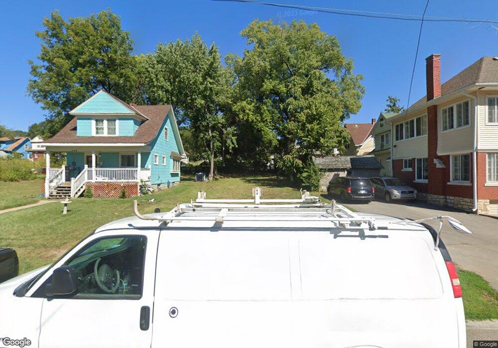
1206 Rowland Ave Kansas City, KS 66104
Northeast Kansas City NeighborhoodEstimated Value: $21,000 - $277,000
3
Beds
1
Bath
1,043
Sq Ft
$144/Sq Ft
Est. Value
About This Home
This home is located at 1206 Rowland Ave, Kansas City, KS 66104 and is currently estimated at $150,000, approximately $143 per square foot. 1206 Rowland Ave is a home located in Wyandotte County with nearby schools including Bertram Caruthers Elementary School, Carl B. Bruce Middle School, and Wyandotte High School.
Ownership History
Date
Name
Owned For
Owner Type
Purchase Details
Closed on
Oct 18, 2018
Sold by
County Of Wyandeotte
Bought by
Wyandotte County Land Bank
Current Estimated Value
Purchase Details
Closed on
Oct 4, 2018
Sold by
Adams Shirleeta
Bought by
Unified Government Of Wyandotte
Purchase Details
Closed on
Jul 19, 2011
Sold by
Map/Mac Llc
Bought by
Com Finance Acq Llc
Purchase Details
Closed on
Feb 22, 2006
Sold by
Slaughter Giselle
Bought by
Map Mac Llc
Create a Home Valuation Report for This Property
The Home Valuation Report is an in-depth analysis detailing your home's value as well as a comparison with similar homes in the area
Home Values in the Area
Average Home Value in this Area
Purchase History
| Date | Buyer | Sale Price | Title Company |
|---|---|---|---|
| Wyandotte County Land Bank | -- | None Available | |
| Unified Government Of Wyandotte | $32,656 | None Available | |
| Com Finance Acq Llc | -- | None Available | |
| Map Mac Llc | -- | None Available |
Source: Public Records
Tax History Compared to Growth
Tax History
| Year | Tax Paid | Tax Assessment Tax Assessment Total Assessment is a certain percentage of the fair market value that is determined by local assessors to be the total taxable value of land and additions on the property. | Land | Improvement |
|---|---|---|---|---|
| 2024 | -- | -- | -- | -- |
| 2023 | -- | -- | -- | -- |
| 2022 | $0 | -- | -- | -- |
| 2021 | $0 | $0 | $0 | $0 |
| 2020 | $3 | $0 | $0 | $0 |
| 2019 | $3 | $0 | $0 | $0 |
| 2018 | $4 | $18 | $18 | $0 |
| 2017 | $4 | $23 | $23 | $0 |
| 2016 | $13,021 | $354 | $224 | $130 |
| 2015 | $251 | $354 | $224 | $130 |
| 2014 | $511 | $354 | $221 | $133 |
Source: Public Records
Map
Nearby Homes
- 2610 N 12th St
- 2518 N 12th St
- 2512 N 12th St
- 1133 Cleveland Ave
- 1134 Haskell Ave
- 1052 Cleveland Ave
- 1336 Rowland Ave
- 1049 Cleveland Ave
- 1342 Georgia Ave
- 1341 Rowland Ave
- 1060 Kimball Ave
- 2928 Roosevelt St
- 1009 Quindaro Blvd
- 1137 Greeley Ave
- 2837 Parkwood Blvd
- 1333 Waverly Ave
- 1500 Waverly Ave
- 1527 Haskell Ave
- 2213 N 10th St
- 932 Greeley Ave
- 1210 Rowland Ave
- 1214 Rowland Ave
- 2604 N 12th St
- 2600 N 12th St
- 2600 N 12 St
- 2608 N 12th St
- 1216 Rowland Ave
- 1220 Rowland Ave
- 2612 N 12th St
- 1211 Georgia Ave
- 1215 Georgia Ave
- 1209 Rowland Ave
- 1222 Rowland Ave
- 2514 N 12th St
- 2616 N 12th St
- 1217 Georgia Ave
- 1217 Rowland Ave
- 1219 Georgia Ave
- 1150 Rowland Ave
- 1219 Rowland Ave