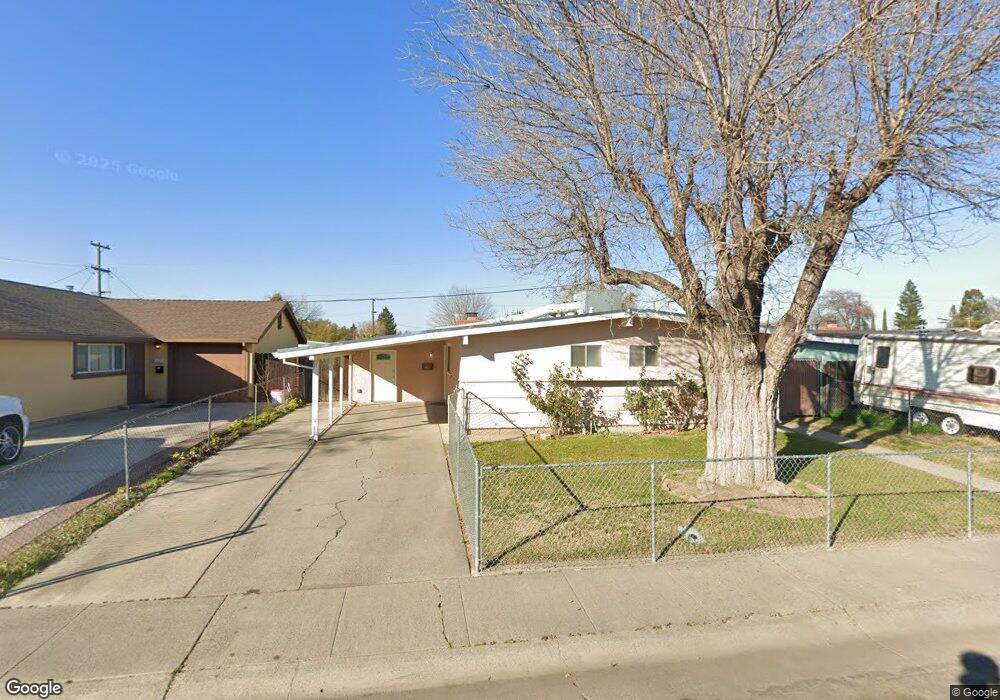
1206 Sullivan Ct West Sacramento, CA 95605
Broderick-Bryte NeighborhoodEstimated Value: $332,000 - $407,000
3
Beds
2
Baths
1,064
Sq Ft
$357/Sq Ft
Est. Value
About This Home
This home is located at 1206 Sullivan Ct, West Sacramento, CA 95605 and is currently estimated at $379,673, approximately $356 per square foot. 1206 Sullivan Ct is a home located in Yolo County with nearby schools including Riverbank Elementary School, River City High, and River Charter Schools Lighthouse Charter.
Ownership History
Date
Name
Owned For
Owner Type
Purchase Details
Closed on
Sep 5, 2002
Sold by
Valencia Richard
Bought by
Valencia Richard
Current Estimated Value
Home Financials for this Owner
Home Financials are based on the most recent Mortgage that was taken out on this home.
Original Mortgage
$75,500
Outstanding Balance
$31,539
Interest Rate
6.24%
Mortgage Type
Purchase Money Mortgage
Estimated Equity
$348,134
Purchase Details
Closed on
Aug 24, 1995
Sold by
Valencia Linda G
Bought by
Valencia Richard
Create a Home Valuation Report for This Property
The Home Valuation Report is an in-depth analysis detailing your home's value as well as a comparison with similar homes in the area
Home Values in the Area
Average Home Value in this Area
Purchase History
| Date | Buyer | Sale Price | Title Company |
|---|---|---|---|
| Valencia Richard | -- | Fidelity National Title | |
| Valencia Richard | -- | First American Title Ins Co |
Source: Public Records
Mortgage History
| Date | Status | Borrower | Loan Amount |
|---|---|---|---|
| Open | Valencia Richard | $75,500 |
Source: Public Records
Tax History Compared to Growth
Tax History
| Year | Tax Paid | Tax Assessment Tax Assessment Total Assessment is a certain percentage of the fair market value that is determined by local assessors to be the total taxable value of land and additions on the property. | Land | Improvement |
|---|---|---|---|---|
| 2025 | $1,185 | $93,735 | $22,938 | $70,797 |
| 2023 | $1,185 | $90,098 | $22,049 | $68,049 |
| 2022 | $1,116 | $88,332 | $21,617 | $66,715 |
| 2021 | $1,105 | $86,601 | $21,194 | $65,407 |
| 2020 | $1,053 | $85,714 | $20,977 | $64,737 |
| 2019 | $1,027 | $84,034 | $20,566 | $63,468 |
| 2018 | $1,008 | $82,387 | $20,163 | $62,224 |
| 2017 | $998 | $80,772 | $19,768 | $61,004 |
| 2016 | $983 | $79,189 | $19,381 | $59,808 |
| 2015 | $931 | $78,000 | $19,090 | $58,910 |
| 2014 | $931 | $76,474 | $18,717 | $57,757 |
Source: Public Records
Map
Nearby Homes
- 409 Star City St
- 637 Myrtle Ave
- 1020 Fremont Blvd
- 808 Kegle Dr
- 724 Julian Dr
- 1025 Carrie St
- 1008 Rogers St
- 1399 Sacramento Ave Unit 44
- 1399 Sacramento Ave
- 1399 Sacramento Ave Unit 21
- 1399 Sacramento Ave Unit 110
- 923 Cummins Way
- 620 Smilax Ave
- 1011 Waterford Dr
- 1529 Hobson Ave
- 904 Yolo St
- 3901 Westlake Dr Unit 123
- 1395 Riverbank Rd
- 1617 Lisbon Ave
- 745 N Hobson Ave
- 1210 Sullivan Ct
- 1202 Sullivan Ct
- 1205 Anna St
- 1214 Sullivan Ct
- 1201 Anna St
- 1209 Anna St
- 1205 Sullivan Ct
- 1209 Sullivan Ct
- 1213 Anna St
- 1218 Sullivan Ct
- 1201 Sullivan Ct
- 1213 Sullivan Ct
- 637 Fourness Dr
- 1217 Anna St
- 1222 Sullivan Ct
- 633 Fourness Dr
- 641 Fourness Dr
- 1217 Sullivan Ct
- 629 Fourness Dr
- 645 Fourness Dr