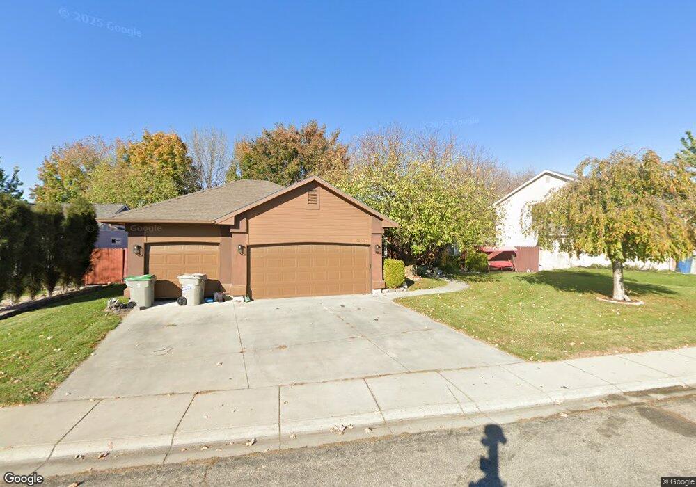
12064 W Harvester Ct Boise, ID 83709
Southwest Boise NeighborhoodEstimated Value: $476,000 - $592,000
4
Beds
3
Baths
1,510
Sq Ft
$338/Sq Ft
Est. Value
About This Home
This home is located at 12064 W Harvester Ct, Boise, ID 83709 and is currently estimated at $510,868, approximately $338 per square foot. 12064 W Harvester Ct is a home located in Ada County with nearby schools including Pepper Ridge Elementary, Lewis & Clark Middle School, and Centennial High School.
Ownership History
Date
Name
Owned For
Owner Type
Purchase Details
Closed on
May 29, 1997
Sold by
J A Holmes Corp
Bought by
Obert James Ernest and Obert Elsa
Current Estimated Value
Home Financials for this Owner
Home Financials are based on the most recent Mortgage that was taken out on this home.
Original Mortgage
$162,690
Outstanding Balance
$23,582
Interest Rate
8.13%
Mortgage Type
VA
Estimated Equity
$487,286
Create a Home Valuation Report for This Property
The Home Valuation Report is an in-depth analysis detailing your home's value as well as a comparison with similar homes in the area
Home Values in the Area
Average Home Value in this Area
Purchase History
| Date | Buyer | Sale Price | Title Company |
|---|---|---|---|
| Obert James Ernest | -- | Pioneer Title Company |
Source: Public Records
Mortgage History
| Date | Status | Borrower | Loan Amount |
|---|---|---|---|
| Open | Obert James Ernest | $162,690 |
Source: Public Records
Tax History Compared to Growth
Tax History
| Year | Tax Paid | Tax Assessment Tax Assessment Total Assessment is a certain percentage of the fair market value that is determined by local assessors to be the total taxable value of land and additions on the property. | Land | Improvement |
|---|---|---|---|---|
| 2025 | $2,254 | $498,700 | -- | -- |
| 2024 | $2,136 | $466,100 | -- | -- |
| 2023 | $2,136 | $431,900 | $0 | $0 |
| 2022 | $2,902 | $555,100 | $0 | $0 |
| 2021 | $2,593 | $420,900 | $0 | $0 |
| 2020 | $2,269 | $327,800 | $0 | $0 |
| 2019 | $2,862 | $323,600 | $0 | $0 |
| 2018 | $2,538 | $278,800 | $0 | $0 |
| 2017 | $2,446 | $261,200 | $0 | $0 |
| 2016 | $2,238 | $238,600 | $0 | $0 |
| 2015 | $2,200 | $219,800 | $0 | $0 |
| 2012 | -- | $165,100 | $0 | $0 |
Source: Public Records
Map
Nearby Homes
- 12158 W Silverking Ct
- 11899 W Blueberry Ct
- 4498 E Goldstone Dr
- 4535 E Copper Point Dr
- 2359 S Rushmore Ct
- 11712 W Annalee Ln
- 4140 E Goldstone Dr
- 4187 E Blueberry St
- 4216 Woodmurra St
- 4132 E Silverking Ln
- 4202 Woodmurra St
- 2476 S Amaya Ln
- 11505 W Baserri Dr
- 2679 S Tristram Way
- 2802 S Heritage Ave
- 11714 W Tioga St
- 12152 W Lewisburg Ct
- 2927 S Goshen Way
- 2029 S Wilde Creek Way
- 12410 W Lewisburg Dr
- 12082 W Harvester Ct
- 12024 W Harvester Ct
- 1945 S Peppercorn Place
- 12063 W Harvester Ct
- 12100 W Harvester Ct
- 12081 W Harvester Ct
- 1993 S Peppercorn Place
- 1937 S Peppercorn Place
- 12099 W Harvester Ct
- 1976 S Peppercorn Place
- 1968 S Peppercorn Place
- 1929 S Peppercorn Place
- 12118 W Harvester Ct
- 1960 S Peppercorn Place
- 2001 S Peppercorn Place
- 12074 W Tio Leo Ct
- 1952 S Peppercorn Place
- 12117 W Harvester Ct
- 1944 S Peppercorn Place
- 1992 S Peppercorn Place