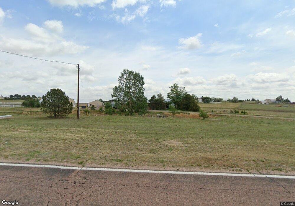
12065 N Ellicott Hwy Calhan, CO 80808
Estimated Value: $483,242 - $535,000
2
Beds
1
Bath
2,192
Sq Ft
$231/Sq Ft
Est. Value
About This Home
This home is located at 12065 N Ellicott Hwy, Calhan, CO 80808 and is currently estimated at $506,414, approximately $231 per square foot. 12065 N Ellicott Hwy is a home located in El Paso County with nearby schools including Calhan Elementary School, Calhan Middle School, and Calhan Secondary School.
Ownership History
Date
Name
Owned For
Owner Type
Purchase Details
Closed on
Feb 27, 2012
Sold by
Fitzpatrick Virginia
Bought by
Fitzpatrick Pati Sue
Current Estimated Value
Purchase Details
Closed on
May 14, 1986
Bought by
Fitzpatrick Pati Sue
Purchase Details
Closed on
Dec 16, 1982
Bought by
Fitzpatrick Pati Sue
Purchase Details
Closed on
Nov 1, 1982
Bought by
Fitzpatrick Pati Sue
Purchase Details
Closed on
Sep 24, 1982
Bought by
Fitzpatrick Pati Sue
Purchase Details
Closed on
Mar 31, 1982
Bought by
Fitzpatrick Pati Sue
Purchase Details
Closed on
Feb 20, 1980
Bought by
Fitzpatrick Pati Sue
Purchase Details
Closed on
Jan 23, 1978
Bought by
Fitzpatrick Pati Sue
Purchase Details
Closed on
Nov 28, 1977
Bought by
Fitzpatrick Pati Sue
Create a Home Valuation Report for This Property
The Home Valuation Report is an in-depth analysis detailing your home's value as well as a comparison with similar homes in the area
Home Values in the Area
Average Home Value in this Area
Purchase History
| Date | Buyer | Sale Price | Title Company |
|---|---|---|---|
| Fitzpatrick Pati Sue | -- | None Available | |
| Fitzpatrick Pati Sue | -- | -- | |
| Fitzpatrick Pati Sue | -- | -- | |
| Fitzpatrick Pati Sue | -- | -- | |
| Fitzpatrick Pati Sue | -- | -- | |
| Fitzpatrick Pati Sue | -- | -- | |
| Fitzpatrick Pati Sue | -- | -- | |
| Fitzpatrick Pati Sue | -- | -- | |
| Fitzpatrick Pati Sue | -- | -- | |
| Fitzpatrick Pati Sue | -- | -- |
Source: Public Records
Tax History Compared to Growth
Tax History
| Year | Tax Paid | Tax Assessment Tax Assessment Total Assessment is a certain percentage of the fair market value that is determined by local assessors to be the total taxable value of land and additions on the property. | Land | Improvement |
|---|---|---|---|---|
| 2025 | $1,638 | $35,670 | -- | -- |
| 2024 | $1,527 | $31,380 | $4,650 | $26,730 |
| 2023 | $1,527 | $31,380 | $4,650 | $26,730 |
| 2022 | $1,003 | $16,880 | $3,330 | $13,550 |
| 2021 | $889 | $17,390 | $3,430 | $13,960 |
| 2020 | $765 | $14,630 | $3,030 | $11,600 |
| 2019 | $661 | $14,630 | $3,030 | $11,600 |
| 2018 | $571 | $12,260 | $3,180 | $9,080 |
| 2017 | $563 | $12,260 | $3,180 | $9,080 |
| 2016 | $559 | $12,180 | $3,070 | $9,110 |
| 2015 | $559 | $12,180 | $3,070 | $9,110 |
| 2014 | $555 | $11,910 | $2,790 | $9,120 |
Source: Public Records
Map
Nearby Homes
- 23165 Farmhouse Ct
- 22945 Farmhouse Ct
- 22835 Farmhouse Ct
- Tract 7 Mcclelland Rd
- Tract 6 Mcclelland Rd
- Tract 21 Mcclelland Rd
- 13731 N Ellicott Hwy
- 23795 Fastbrook Ln
- 23450 Fastbrook Ln
- 13820 Noah Abel Point
- 10165 Mcclelland Rd
- 21875 E Highway 24 Hwy
- 3780 Log Rd
- 3920 Log Rd
- 23580 Murphy Rd
- 21785 Spencer Rd
- 21150 Sampson Rd
- 9235 Guthrie Rd
- 0 Ellitcott Hwy Unit REC3023996
- 0 Soap Weed Rd
- 12175 N Ellicott Hwy
- 12040 W Range View Dr
- 11950 W Range View Dr
- 12150 W Range View Dr
- 12025 E Range View Dr
- 11860 W Range View Dr
- 12230 W Range View Dr
- 12115 W Range View Dr
- 12290 W Range View Dr
- 12060 E Range View Dr
- 11970 E Range View Dr
- 12365 N Ellicott Hwy
- 11890 E Range View Dr
- 11835 W Range View Dr
- 11520 N Ellicott Hwy
- 12035 E Range View Dr
- 11810 E Range View Dr
- 24135 Range View Ct
- 12140 E Range View Dr
- 12355 W Range View Dr