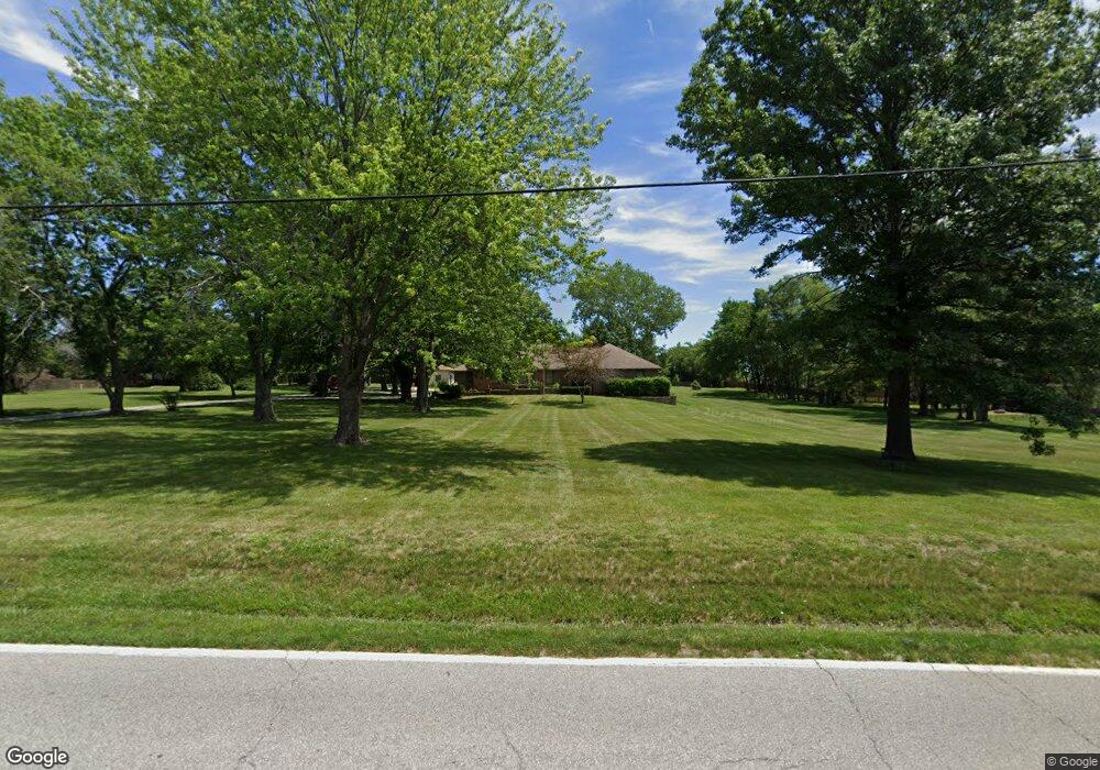
12065 S Lone Elm Rd Olathe, KS 66061
Estimated Value: $639,000 - $1,083,000
3
Beds
3
Baths
2,275
Sq Ft
$353/Sq Ft
Est. Value
About This Home
This home is located at 12065 S Lone Elm Rd, Olathe, KS 66061 and is currently estimated at $802,728, approximately $352 per square foot. 12065 S Lone Elm Rd is a home located in Johnson County with nearby schools including Millbrooke Elementary, Summit Trail Middle School, and Olathe Northwest High School.
Ownership History
Date
Name
Owned For
Owner Type
Purchase Details
Closed on
Jul 28, 2009
Sold by
Bing Robert K
Bought by
Bing Robert K
Current Estimated Value
Purchase Details
Closed on
Feb 22, 2005
Sold by
Bing Robert K and Bing Mary E
Bought by
Bing Mary E and Bing Robert K
Purchase Details
Closed on
May 1, 2002
Sold by
Shelledy Mary Pat and Mcquaid Timothy J
Bought by
Stonegate Inc
Home Financials for this Owner
Home Financials are based on the most recent Mortgage that was taken out on this home.
Original Mortgage
$1,000,000
Outstanding Balance
$427,604
Interest Rate
7.11%
Estimated Equity
$375,124
Create a Home Valuation Report for This Property
The Home Valuation Report is an in-depth analysis detailing your home's value as well as a comparison with similar homes in the area
Home Values in the Area
Average Home Value in this Area
Purchase History
| Date | Buyer | Sale Price | Title Company |
|---|---|---|---|
| Bing Robert K | -- | None Available | |
| Bing Mary E | -- | None Available | |
| Stonegate Inc | -- | Security Land Title Company |
Source: Public Records
Mortgage History
| Date | Status | Borrower | Loan Amount |
|---|---|---|---|
| Open | Stonegate Inc | $1,000,000 |
Source: Public Records
Tax History Compared to Growth
Tax History
| Year | Tax Paid | Tax Assessment Tax Assessment Total Assessment is a certain percentage of the fair market value that is determined by local assessors to be the total taxable value of land and additions on the property. | Land | Improvement |
|---|---|---|---|---|
| 2024 | $10,207 | $89,136 | $44,408 | $44,728 |
| 2023 | $9,347 | $80,707 | $37,028 | $43,679 |
| 2022 | $8,177 | $68,724 | $32,218 | $36,506 |
| 2021 | $7,928 | $63,790 | $32,018 | $31,772 |
| 2020 | $7,852 | $62,606 | $29,123 | $33,483 |
| 2019 | $7,600 | $60,191 | $29,123 | $31,068 |
| 2018 | $7,198 | $56,615 | $25,366 | $31,249 |
| 2017 | $6,769 | $52,705 | $22,992 | $29,713 |
| 2016 | $6,304 | $50,336 | $22,992 | $27,344 |
| 2015 | $6,112 | $48,829 | $23,152 | $25,677 |
| 2013 | -- | $42,400 | $21,552 | $20,848 |
Source: Public Records
Map
Nearby Homes
- 21510 W 121st St
- 12001 S Tallgrass Dr Unit 203
- 11921 S Tallgrass Dr Unit 603
- 11921 S Tallgrass Dr Unit 602
- 11921 S Tallgrass Dr Unit 601
- 21702 W 119th Terrace Unit 1101
- 11934 S Monroe St
- 11957 S Monroe St
- 12169 S Valley Rd
- 12036 S Clinton St
- 21794 W 123rd Terrace
- 21919 W 121st St
- 21320 W 123rd Ct
- 12151 S Clinton St
- 21361 W 117th Terrace Unit 21c
- 21928 W 121st St
- 12122 S Redbud Ln
- 12421 S Parker Terrace
- 21437 W 116th Place
- 22049 W 121st St
- 21447 W 120th St
- 21467 W 120th St
- 21476 W 121st St
- 21335 W 120th Terrace
- 21417 W 120th St
- 21487 W 120th St
- 21320 W 120th Terrace
- 21490 W 121st St
- 21325 W 120th Terrace
- 21470 W 121st St
- 21387 W 120th St
- 21367 W 120th St
- 21310 W 120th Terrace
- 21515 W 121st St
- 21315 W 120th Terrace
- 21464 W 121st St
- 21494 W 121st St
- 21347 W 120th St
- 21446 W 120th St
- 21460 W 121st St