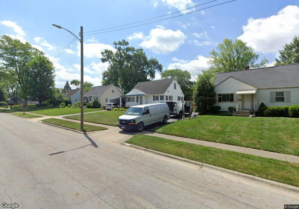
1207 Bryson Rd Columbus, OH 43224
Clinton Estates NeighborhoodEstimated Value: $230,256 - $277,000
3
Beds
2
Baths
1,240
Sq Ft
$208/Sq Ft
Est. Value
About This Home
This home is located at 1207 Bryson Rd, Columbus, OH 43224 and is currently estimated at $257,814, approximately $207 per square foot. 1207 Bryson Rd is a home located in Franklin County with nearby schools including Maize Road Elementary School, Medina Middle School, and Mifflin High School.
Ownership History
Date
Name
Owned For
Owner Type
Purchase Details
Closed on
Dec 12, 2007
Sold by
Runk Philip R and Runk Marsha J
Bought by
Runk Philip R and Runk Marsha J
Current Estimated Value
Purchase Details
Closed on
May 10, 1977
Bought by
Runk Philip R
Create a Home Valuation Report for This Property
The Home Valuation Report is an in-depth analysis detailing your home's value as well as a comparison with similar homes in the area
Home Values in the Area
Average Home Value in this Area
Purchase History
| Date | Buyer | Sale Price | Title Company |
|---|---|---|---|
| Runk Philip R | -- | Attorney | |
| Runk Philip R | -- | -- |
Source: Public Records
Tax History
| Year | Tax Paid | Tax Assessment Tax Assessment Total Assessment is a certain percentage of the fair market value that is determined by local assessors to be the total taxable value of land and additions on the property. | Land | Improvement |
|---|---|---|---|---|
| 2025 | $2,879 | $64,160 | $19,250 | $44,910 |
| 2024 | $2,879 | $64,160 | $19,250 | $44,910 |
| 2023 | $2,843 | $64,160 | $19,250 | $44,910 |
| 2022 | $2,090 | $40,290 | $7,880 | $32,410 |
| 2021 | $2,093 | $40,290 | $7,880 | $32,410 |
| 2020 | $2,096 | $40,290 | $7,880 | $32,410 |
| 2019 | $1,958 | $32,270 | $6,300 | $25,970 |
| 2018 | $1,875 | $32,270 | $6,300 | $25,970 |
| 2017 | $1,956 | $32,270 | $6,300 | $25,970 |
| 2016 | $1,978 | $29,860 | $6,160 | $23,700 |
| 2015 | $1,796 | $29,860 | $6,160 | $23,700 |
| 2014 | $1,800 | $29,860 | $6,160 | $23,700 |
| 2013 | $935 | $31,430 | $6,475 | $24,955 |
Source: Public Records
Map
Nearby Homes
- 1130 Carbone Dr
- 1144 Reed Circle Dr
- 4143 Karl Rd Unit 215
- 4143 Karl Rd Unit 314
- 4145 Karl Rd Unit 223
- 899 Meadowview Dr
- 3941 Karl Rd Unit 326
- 3967 Karl Rd Unit 224
- 3939 Karl Rd Unit 311
- 827 Inwood Place
- 4605 Glenmawr Ave
- 991 Hidden Acres Ct Unit 991
- 1116 Tulsa Dr
- 4800 Bourke Rd
- 4795 Colonel Perry Dr
- 1242 Acton Rd
- 4983 Almont Dr
- 1863 Ward Rd
- 3620 Walmar Dr
- 1874 Sale Rd
- 1215 Bryson Rd
- 1202 Frisbee Dr
- 1221 Bryson Rd
- 1210 Frisbee Dr
- 1200 Frisbee Dr
- 1216 Frisbee Dr
- 1212 Bryson Rd
- 1181 Bryson Rd
- 1200 Bryson Rd
- 1220 Bryson Rd
- 4281 Blythe Rd
- 4275 Blythe Rd
- 1198 Frisbee Dr
- 4265 Blythe Rd
- 1230 Bryson Rd
- 1192 Bryson Rd
- 4280 Cody Rd
- 4257 Blythe Rd
- 4272 Cody Rd
- 1196 Frisbee Dr
Your Personal Tour Guide
Ask me questions while you tour the home.