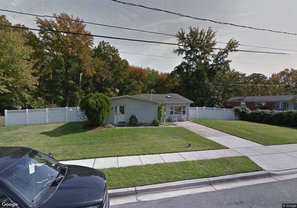
1207 Hutton Dr Glen Burnie, MD 21061
Estimated Value: $322,288 - $415,000
--
Bed
1
Bath
1,697
Sq Ft
$225/Sq Ft
Est. Value
About This Home
This home is located at 1207 Hutton Dr, Glen Burnie, MD 21061 and is currently estimated at $381,072, approximately $224 per square foot. 1207 Hutton Dr is a home located in Anne Arundel County with nearby schools including Oakwood Elementary School, Corkran Middle School, and Glen Burnie High School.
Ownership History
Date
Name
Owned For
Owner Type
Purchase Details
Closed on
Jul 21, 2025
Sold by
Quasney Kenneth and Quasney Rose A
Bought by
Quasney Christina Katelyn and Russell William
Current Estimated Value
Purchase Details
Closed on
Oct 24, 1983
Bought by
Quasney Kenneth and Quasney Rose A
Home Financials for this Owner
Home Financials are based on the most recent Mortgage that was taken out on this home.
Original Mortgage
$56,950
Interest Rate
13.52%
Create a Home Valuation Report for This Property
The Home Valuation Report is an in-depth analysis detailing your home's value as well as a comparison with similar homes in the area
Home Values in the Area
Average Home Value in this Area
Purchase History
| Date | Buyer | Sale Price | Title Company |
|---|---|---|---|
| Quasney Christina Katelyn | -- | None Listed On Document | |
| Quasney Christina Katelyn | -- | None Listed On Document | |
| Quasney Kenneth | $60,000 | -- |
Source: Public Records
Mortgage History
| Date | Status | Borrower | Loan Amount |
|---|---|---|---|
| Previous Owner | Quasney Kenneth | $56,950 |
Source: Public Records
Tax History Compared to Growth
Tax History
| Year | Tax Paid | Tax Assessment Tax Assessment Total Assessment is a certain percentage of the fair market value that is determined by local assessors to be the total taxable value of land and additions on the property. | Land | Improvement |
|---|---|---|---|---|
| 2025 | $2,295 | $290,300 | $153,100 | $137,200 |
| 2024 | $2,295 | $269,567 | $0 | $0 |
| 2023 | $2,209 | $248,833 | $0 | $0 |
| 2022 | $2,046 | $228,100 | $138,100 | $90,000 |
| 2021 | $4,032 | $225,533 | $0 | $0 |
| 2020 | $1,945 | $222,967 | $0 | $0 |
| 2019 | $1,910 | $220,400 | $133,100 | $87,300 |
| 2018 | $2,031 | $200,300 | $0 | $0 |
| 2017 | $1,778 | $180,200 | $0 | $0 |
| 2016 | -- | $160,100 | $0 | $0 |
| 2015 | -- | $158,100 | $0 | $0 |
| 2014 | -- | $156,100 | $0 | $0 |
Source: Public Records
Map
Nearby Homes
- 7818 Oakwood Rd
- 306 Woodleaf Ct
- 262 Woodoak Ct
- 251 Oakview Village Dr
- 7808 Five Oaks Ct
- 338 White Oak Way
- 405 Morningside Dr
- 8906 Jeff Mar Dr
- 8903 Jeff Mar Dr
- 180 Jessica Ln
- 1002 Lee Rd
- 409 Aquahart Rd
- 203 Buckingham Dr
- 0 Irene Dr
- 308 Aquahart Rd
- 125 Range Rd
- 1702 Manning Rd
- 1612 Lorimer Rd
- 1423 Braden Loop
- 1731 Saunders Way
- 1205 Hutton Dr
- 1209 Hutton Dr
- 1206 Hutton Dr
- 1204 Hutton Dr
- 1202 Hutton Dr
- 7820 Oakwood Rd
- 7820 Oakwood Rd
- 7820 Oakwood Rd
- 7820 Oakwood Rd
- 7820 Oakwood Rd
- 1203 Hutton Dr
- 1221 Cathedral Dr
- 1236 Cathedral Dr
- 1238 Cathedral Dr
- 1234 Cathedral Dr
- 1221 Crawford Dr
- 1232 Cathedral Dr
- 1223 Crawford Dr
- 1219 Cathedral Dr
- 302 Woodleaf Ct