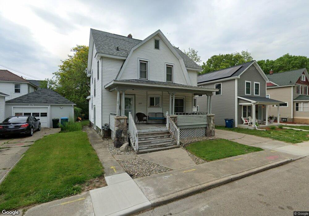
1207 Lay Blvd Kalamazoo, MI 49001
Edison NeighborhoodEstimated Value: $158,856 - $178,000
3
Beds
2
Baths
1,718
Sq Ft
$96/Sq Ft
Est. Value
About This Home
This home is located at 1207 Lay Blvd, Kalamazoo, MI 49001 and is currently estimated at $165,464, approximately $96 per square foot. 1207 Lay Blvd is a home located in Kalamazoo County with nearby schools including Milwood Elementary School, Milwood Magnet School, and Loy Norrix High School.
Ownership History
Date
Name
Owned For
Owner Type
Purchase Details
Closed on
Jan 17, 2014
Sold by
Cummings Chip
Bought by
Kelley Ryan
Current Estimated Value
Purchase Details
Closed on
Sep 10, 2013
Sold by
Balkema Mary
Bought by
Northwind Holdings 14 Llc
Purchase Details
Closed on
May 1, 2012
Sold by
Taylor Monifa
Bought by
Taylor Acieus
Purchase Details
Closed on
Feb 8, 2010
Sold by
Taylor Tico
Bought by
Taylor Monita D and Taylor Arieus L
Create a Home Valuation Report for This Property
The Home Valuation Report is an in-depth analysis detailing your home's value as well as a comparison with similar homes in the area
Home Values in the Area
Average Home Value in this Area
Purchase History
| Date | Buyer | Sale Price | Title Company |
|---|---|---|---|
| Kelley Ryan | $7,500 | Essential Title Agency Llc | |
| Northwind Holdings 14 Llc | $12,000 | None Available | |
| Taylor Acieus | -- | None Available | |
| Taylor Monita D | -- | None Available |
Source: Public Records
Tax History Compared to Growth
Tax History
| Year | Tax Paid | Tax Assessment Tax Assessment Total Assessment is a certain percentage of the fair market value that is determined by local assessors to be the total taxable value of land and additions on the property. | Land | Improvement |
|---|---|---|---|---|
| 2025 | $1,740 | $67,800 | $0 | $0 |
| 2024 | $1,143 | $54,100 | $0 | $0 |
| 2023 | $719 | $48,100 | $0 | $0 |
| 2022 | $1,225 | $40,800 | $0 | $0 |
| 2021 | $1,185 | $35,300 | $0 | $0 |
| 2020 | $1,160 | $31,300 | $0 | $0 |
| 2019 | $1,509 | $25,800 | $0 | $0 |
| 2018 | $1,474 | $22,800 | $0 | $0 |
| 2017 | $1,557 | $23,300 | $0 | $0 |
| 2016 | $1,557 | $22,900 | $0 | $0 |
| 2015 | $1,557 | $22,500 | $0 | $0 |
| 2014 | $1,557 | $20,800 | $0 | $0 |
Source: Public Records
Map
Nearby Homes
- 1118 Lane Blvd
- 1224 Lane Blvd
- 1939 March St
- 1028 Clinton Ave
- 1424 Lay Blvd
- 1118 E Alcott St
- 915 Hays Park Ave
- 1512 Race St
- 1002 Egleston Ave
- 1803 Portage St
- 1510 Palmer Ave
- 1303 E Stockbridge Ave
- 923 E Stockbridge Ave
- 1212 Washington Ave
- 117 E Stockbridge Ave
- 1517 E Stockbridge Ave
- 1719 Palmer Ave
- 916 Washington Ave
- 920 Washington Ave
- 1517 Fair St