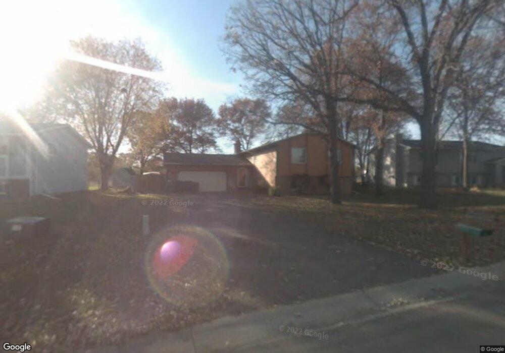
12074 Unity St NW Coon Rapids, MN 55448
Estimated Value: $356,591 - $384,000
5
Beds
2
Baths
1,138
Sq Ft
$329/Sq Ft
Est. Value
About This Home
This home is located at 12074 Unity St NW, Coon Rapids, MN 55448 and is currently estimated at $373,898, approximately $328 per square foot. 12074 Unity St NW is a home located in Anoka County with nearby schools including Sand Creek Elementary School, Northdale Middle School, and Blaine Senior High School.
Ownership History
Date
Name
Owned For
Owner Type
Purchase Details
Closed on
May 3, 2013
Sold by
Federal Home Loan Mortgage Corporation
Bought by
Carney Gretchen and Carney Michael P
Current Estimated Value
Home Financials for this Owner
Home Financials are based on the most recent Mortgage that was taken out on this home.
Original Mortgage
$162,501
Outstanding Balance
$113,952
Interest Rate
3.25%
Mortgage Type
FHA
Estimated Equity
$259,946
Purchase Details
Closed on
Jul 1, 2005
Sold by
Purcell Troy D and Purcell Ulana M
Bought by
Eastman Tanya G
Home Financials for this Owner
Home Financials are based on the most recent Mortgage that was taken out on this home.
Original Mortgage
$235,160
Interest Rate
6.17%
Mortgage Type
Land Contract Argmt. Of Sale
Purchase Details
Closed on
Jun 30, 1998
Sold by
Kar Pradip C and Kar Gita P
Bought by
Nystad Rune C and Nystad Jana M
Create a Home Valuation Report for This Property
The Home Valuation Report is an in-depth analysis detailing your home's value as well as a comparison with similar homes in the area
Home Values in the Area
Average Home Value in this Area
Purchase History
| Date | Buyer | Sale Price | Title Company |
|---|---|---|---|
| Carney Gretchen | -- | West Title Llc | |
| Eastman Tanya G | $235,160 | -- | |
| Nystad Rune C | $126,200 | -- |
Source: Public Records
Mortgage History
| Date | Status | Borrower | Loan Amount |
|---|---|---|---|
| Open | Carney Gretchen | $162,501 | |
| Previous Owner | Eastman Tanya G | $235,160 |
Source: Public Records
Tax History Compared to Growth
Tax History
| Year | Tax Paid | Tax Assessment Tax Assessment Total Assessment is a certain percentage of the fair market value that is determined by local assessors to be the total taxable value of land and additions on the property. | Land | Improvement |
|---|---|---|---|---|
| 2025 | $3,350 | $323,400 | $72,000 | $251,400 |
| 2024 | $3,350 | $304,000 | $68,900 | $235,100 |
| 2023 | $3,237 | $306,000 | $57,400 | $248,600 |
| 2022 | $2,839 | $311,000 | $53,600 | $257,400 |
| 2021 | $2,762 | $244,300 | $46,700 | $197,600 |
| 2020 | $2,760 | $232,500 | $47,400 | $185,100 |
| 2019 | $2,666 | $223,400 | $45,900 | $177,500 |
| 2018 | $2,478 | $210,100 | $0 | $0 |
| 2017 | $2,453 | $190,400 | $0 | $0 |
| 2016 | $2,507 | $168,500 | $0 | $0 |
| 2015 | $2,183 | $168,500 | $36,700 | $131,800 |
| 2014 | -- | $148,500 | $35,600 | $112,900 |
Source: Public Records
Map
Nearby Homes
- 11923 Wintergreen St NW
- 11852 Yellow Pine St NW
- 899 123rd Ln NW
- 633 Sand Creek Dr NW
- 12488 Unity St NW
- 12010 Eagle St NW
- 12357 Magnolia St NW
- 12463 Drake St NW
- 11640 Larch St NW
- 1625 124th Ave NW
- 1727 121st Ln NW
- 1450 126th Ln NW
- 1660 Northdale Blvd NW
- 1234 128th Cir NW
- 1593 126th Ln NW
- 12365 Jay St NW
- 12796 Bluebird St NW
- 12554 Grouse St NW
- 915 112th Ave NW
- 1520 129th Ave NW
- 12074 12074 Unity-Street-nw
- 12086 Unity St NW
- 12048 Unity St NW
- 1048 120th Ln NW
- 12036 Unity St NW
- 1039 120th Ln NW
- 12102 Unity St NW
- 1036 120th Ln NW
- 12024 Unity St NW
- 1053 120th Ave NW
- 12103 Unity St NW
- 1027 120th Ln NW
- 1022 120th Ln NW
- 1041 120th Ave NW
- 12067 Wintergreen St NW
- 12012 Unity St NW
- 12114 Unity Cir NW
- 12117 Unity St NW
- 1013 120th Ln NW
- 1015 121st Ave NW