12079 Hillhurst Cir Unit 8-185 Groveland, CA 95321
Estimated Value: $348,000 - $577,000
4
Beds
2
Baths
1,422
Sq Ft
$297/Sq Ft
Est. Value
About This Home
This home is located at 12079 Hillhurst Cir Unit 8-185, Groveland, CA 95321 and is currently estimated at $422,113, approximately $296 per square foot. 12079 Hillhurst Cir Unit 8-185 is a home located in Tuolumne County.
Ownership History
Date
Name
Owned For
Owner Type
Purchase Details
Closed on
Jun 12, 2020
Sold by
Phillips Donna M and The Phillips 1982 Trust
Bought by
Nielsen Dale S and Nielsen Melinda C
Current Estimated Value
Home Financials for this Owner
Home Financials are based on the most recent Mortgage that was taken out on this home.
Original Mortgage
$204,000
Outstanding Balance
$180,830
Interest Rate
3.2%
Mortgage Type
New Conventional
Estimated Equity
$241,283
Create a Home Valuation Report for This Property
The Home Valuation Report is an in-depth analysis detailing your home's value as well as a comparison with similar homes in the area
Home Values in the Area
Average Home Value in this Area
Purchase History
| Date | Buyer | Sale Price | Title Company |
|---|---|---|---|
| Nielsen Dale S | $255,000 | Yosemite Title Company |
Source: Public Records
Mortgage History
| Date | Status | Borrower | Loan Amount |
|---|---|---|---|
| Open | Nielsen Dale S | $204,000 |
Source: Public Records
Tax History Compared to Growth
Tax History
| Year | Tax Paid | Tax Assessment Tax Assessment Total Assessment is a certain percentage of the fair market value that is determined by local assessors to be the total taxable value of land and additions on the property. | Land | Improvement |
|---|---|---|---|---|
| 2025 | $3,088 | $278,875 | $38,275 | $240,600 |
| 2024 | $3,088 | $273,408 | $37,525 | $235,883 |
| 2023 | $3,022 | $268,048 | $36,790 | $231,258 |
| 2022 | $2,965 | $262,793 | $36,069 | $226,724 |
| 2021 | $2,924 | $257,641 | $35,362 | $222,279 |
| 2020 | $2,041 | $178,486 | $26,759 | $151,727 |
| 2019 | $1,981 | $174,987 | $26,235 | $148,752 |
| 2018 | $1,937 | $171,557 | $25,721 | $145,836 |
| 2017 | $1,893 | $168,194 | $25,217 | $142,977 |
| 2016 | $1,848 | $164,897 | $24,723 | $140,174 |
| 2015 | $1,824 | $162,421 | $24,352 | $138,069 |
| 2014 | $1,784 | $159,240 | $23,875 | $135,365 |
Source: Public Records
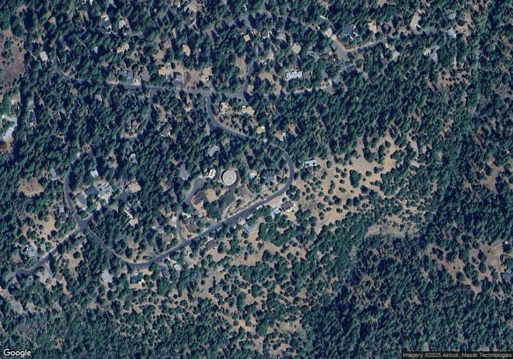
Map
Nearby Homes
- 12064 Hillhurst Cir
- 19710 Butler Way
- 12017 Hillhurst Cir
- 19673 Jonny Degnan Ct
- 12295 Sunnyside Way
- 11987 Valenta Way
- 19574 Butler Way
- 19553 Elder Ln
- 12080 Breckenridge Rd
- 19709 Pine Mountain Dr
- 19513 Grizzly Cir
- 19779 Pine Mountain Dr
- 19824 Pine Mountain Dr
- 12435 Cassaretto Ct
- 20029 Upper Skyridge Dr Unit 15
- 19935 Pine Mountain Dr
- 12079 Hillhurst Cir Unit 185
- 12079 Hillhurst Cir
- 12083 Hillhurst Cir Unit 186
- 12083 Hillhurst Cir Unit 8 Lot 186
- 12083 Hillhurst Cir
- 12075 Hillhurst Cir
- 12075 Hillhurst Cir Unit 8-184
- 12078 Hillhurst Cir Unit U 8 L 152
- 12078 Hillhurst Cir
- 12080 Hillhurst Cir Unit U8/L151
- 12080 Hillhurst Cir
- 12074 Hillhurst Cir
- 12067 Hillhurst Cir
- 12067 Hillhurst Cir Unit 8 Lot 181
- 12098 Hillhurst Cir Unit 144
- 12101 Hillhurst Cir Unit 8-191
- 12101 Hillhurst Cir Unit 191
- 12101 Hillhurst Cir
- 12094 Hillhurst Cir Unit 146
- 12094 Hillhurst Cir