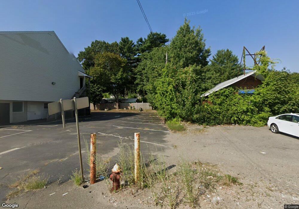
1208- 1210 Montello St Brockton, MA 02302
Campello NeighborhoodEstimated Value: $843,000 - $967,218
8
Beds
8
Baths
5,888
Sq Ft
$154/Sq Ft
Est. Value
About This Home
This home is located at 1208- 1210 Montello St, Brockton, MA 02302 and is currently estimated at $905,109, approximately $153 per square foot. 1208- 1210 Montello St is a home located in Plymouth County with nearby schools including Davis K-8 School, John F. Kennedy Elementary School, and South Middle School.
Ownership History
Date
Name
Owned For
Owner Type
Purchase Details
Closed on
Oct 28, 2022
Sold by
One America Capital Llc
Bought by
Nwhs Holdings Llc
Current Estimated Value
Home Financials for this Owner
Home Financials are based on the most recent Mortgage that was taken out on this home.
Original Mortgage
$720,000
Outstanding Balance
$691,905
Interest Rate
6.02%
Mortgage Type
Purchase Money Mortgage
Estimated Equity
$213,204
Purchase Details
Closed on
Aug 11, 2021
Sold by
1208 Montello Street Rt and Harrison
Bought by
1 America Capital Llc
Purchase Details
Closed on
May 7, 2015
Sold by
Green Ft and Green
Bought by
1208 Montello Street R and 1208 Harrison
Home Financials for this Owner
Home Financials are based on the most recent Mortgage that was taken out on this home.
Original Mortgage
$529,000
Interest Rate
3.69%
Mortgage Type
Commercial
Purchase Details
Closed on
Apr 13, 2015
Sold by
Oconnor Thaddeus P and Oconnor Kolleen
Bought by
1208-1210 Montello St and 1208-1210 Oconnor
Home Financials for this Owner
Home Financials are based on the most recent Mortgage that was taken out on this home.
Original Mortgage
$529,000
Interest Rate
3.69%
Mortgage Type
Commercial
Purchase Details
Closed on
Feb 28, 2011
Sold by
1208-1210 Montello St and 1208-1210 Oconnor
Bought by
Green Ft and Green
Home Financials for this Owner
Home Financials are based on the most recent Mortgage that was taken out on this home.
Original Mortgage
$400,000
Interest Rate
4.75%
Mortgage Type
Commercial
Create a Home Valuation Report for This Property
The Home Valuation Report is an in-depth analysis detailing your home's value as well as a comparison with similar homes in the area
Home Values in the Area
Average Home Value in this Area
Purchase History
| Date | Buyer | Sale Price | Title Company |
|---|---|---|---|
| Nwhs Holdings Llc | $800,000 | None Available | |
| 1 America Capital Llc | $475,000 | None Available | |
| 1208 Montello Street R | $470,500 | -- | |
| 1208-1210 Montello St | -- | -- | |
| Green Ft | $400,000 | -- | |
| Green Ft | $400,000 | -- |
Source: Public Records
Mortgage History
| Date | Status | Borrower | Loan Amount |
|---|---|---|---|
| Open | Nwhs Holdings Llc | $720,000 | |
| Previous Owner | 1208 Montello Street R | $529,000 | |
| Previous Owner | Green Ft | $400,000 |
Source: Public Records
Tax History Compared to Growth
Tax History
| Year | Tax Paid | Tax Assessment Tax Assessment Total Assessment is a certain percentage of the fair market value that is determined by local assessors to be the total taxable value of land and additions on the property. | Land | Improvement |
|---|---|---|---|---|
| 2025 | $4,859 | $200,800 | $200,800 | $0 |
| 2024 | $4,392 | $182,600 | $182,600 | $0 |
| 2023 | $4,122 | $158,400 | $158,400 | $0 |
| 2022 | $4,464 | $158,400 | $158,400 | $0 |
| 2021 | $4,470 | $150,800 | $150,800 | $0 |
| 2020 | $4,370 | $143,700 | $143,700 | $0 |
| 2019 | $4,551 | $143,700 | $143,700 | $0 |
| 2018 | $7,214 | $148,500 | $148,500 | $0 |
| 2017 | $7,214 | $448,100 | $148,500 | $299,600 |
| 2016 | $7,184 | $413,800 | $148,450 | $265,350 |
| 2015 | $6,857 | $377,800 | $148,450 | $229,350 |
| 2014 | $6,850 | $377,800 | $148,450 | $229,350 |
Source: Public Records
Map
Nearby Homes
- 223 Clinton St Unit 10
- 223 Clinton St Unit 3
- 163 S Leyden St
- 115 Market St
- 65 Tremont St
- 103 Clinton St
- 977 Warren Ave
- 35 Longworth Ave Unit 17
- 936 Warren Ave
- 15 Longworth Ave Unit 231
- 54 Ferris Ave
- 44 Baker St
- 112 Hillside Ave
- 47 Southworth St
- 34 Carl Ave
- 29 Hancock St
- 137 Channing Ave
- 28 Wallace St
- 16 Hancock St
- 99 Grove St
- 1208-1210 Montello
- 1208 Montello St
- 1222 Montello St
- 1230 Montello St
- 1236 Montello St
- 22 Riverside Ave Unit N1
- 22 Riverside Ave Unit 1 N
- 22 Riverside Ave Unit 1S
- 22 Riverside Ave
- 22 Riverside Ave Unit 2S
- 22 Riverside Ave Unit 3
- 22 Riverside Ave Unit 3S
- 7 Plain St
- 38 Plain St
- 1 Plain St
- 42 Plain St
- 23 Plain St
- 12 Riverside Ave
- 1173 Montello St
- 1175 Montello St