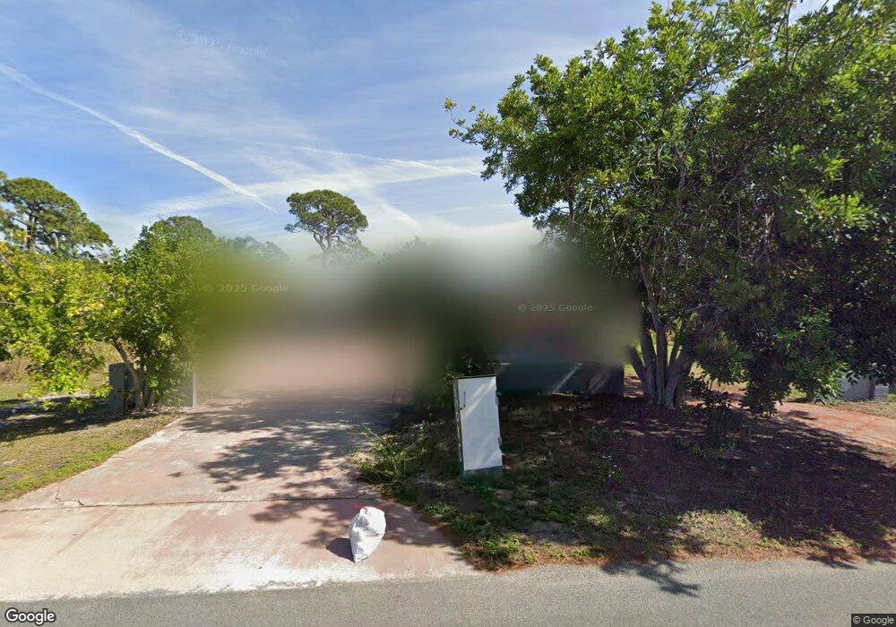
1208 Bayshore Rd Nokomis, FL 34275
Estimated Value: $297,000 - $609,000
2
Beds
2
Baths
1,999
Sq Ft
$226/Sq Ft
Est. Value
About This Home
This home is located at 1208 Bayshore Rd, Nokomis, FL 34275 and is currently estimated at $451,849, approximately $226 per square foot. 1208 Bayshore Rd is a home located in Sarasota County with nearby schools including Laurel Nokomis School, Venice High School, and Island Village Montessori School.
Ownership History
Date
Name
Owned For
Owner Type
Purchase Details
Closed on
May 27, 2009
Sold by
Pocevic Rodney B and Pocevic Tami R
Bought by
Boyer David A and Boyer Robyn C
Current Estimated Value
Home Financials for this Owner
Home Financials are based on the most recent Mortgage that was taken out on this home.
Original Mortgage
$76,000
Outstanding Balance
$48,018
Interest Rate
4.77%
Mortgage Type
Purchase Money Mortgage
Estimated Equity
$403,831
Purchase Details
Closed on
Aug 19, 2003
Sold by
Citifinancial Mtg Co Inc
Bought by
Pocevic Rodney B and Pocevic Tami R
Create a Home Valuation Report for This Property
The Home Valuation Report is an in-depth analysis detailing your home's value as well as a comparison with similar homes in the area
Home Values in the Area
Average Home Value in this Area
Purchase History
| Date | Buyer | Sale Price | Title Company |
|---|---|---|---|
| Boyer David A | $95,000 | Integrity Title Services Inc | |
| Pocevic Rodney B | $114,900 | -- |
Source: Public Records
Mortgage History
| Date | Status | Borrower | Loan Amount |
|---|---|---|---|
| Open | Boyer David A | $76,000 |
Source: Public Records
Tax History Compared to Growth
Tax History
| Year | Tax Paid | Tax Assessment Tax Assessment Total Assessment is a certain percentage of the fair market value that is determined by local assessors to be the total taxable value of land and additions on the property. | Land | Improvement |
|---|---|---|---|---|
| 2024 | $2,552 | $201,866 | -- | -- |
| 2023 | $2,552 | $195,986 | $0 | $0 |
| 2022 | $2,563 | $190,278 | $0 | $0 |
| 2021 | $1,762 | $124,012 | $0 | $0 |
| 2020 | $1,753 | $122,300 | $0 | $0 |
| 2019 | $1,683 | $119,550 | $0 | $0 |
| 2018 | $1,632 | $117,321 | $0 | $0 |
| 2017 | $1,622 | $114,908 | $0 | $0 |
| 2016 | $1,613 | $139,200 | $36,800 | $102,400 |
| 2015 | $1,633 | $140,700 | $33,700 | $107,000 |
| 2014 | $1,632 | $109,237 | $0 | $0 |
Source: Public Records
Map
Nearby Homes
- 4984 Top Sail Dr
- 327 Roberts Rd
- 217 Charles Dr
- 0 Bayshore Rd Unit MFRN6137578
- 1109 Bayshore Rd
- 425 Laurel Rd W
- 236 Lazy Shore Dr
- 931 Bayshore Rd
- 0 Oak St
- 1461 Bayshore Rd
- 102 Pearl St
- 1520 Pearl St
- 1645 & 1649 Bayshore Rd
- 72 La Costa Dr
- 71 La Costa Dr
- 919 Key Way
- 279 Lake Dr
- 367 Spanish Lakes Dr
- 343 Santa Cruz
- 5356 Dream Ln
- 1224 Bayshore Rd
- 1172 Bayshore Rd
- Lot 1 Blackburn Ridg Top Sail
- 1225 Bayshore Rd
- 4985 Topsail Dr
- 1228 Bayshore Rd
- 1160 Bayshore Rd
- 1215 Bayshore Rd
- 4979 Topsail Dr
- 4980 Topsail Dr
- Lot 2 Blackburn Ridg Top Sail
- Lot 2 Blackburn Top Sail
- 1221 Bayshore Rd
- 1124 Bayshore Rd
- 1232 Bayshore Rd
- 215 Roberts Rd
- 1223 Bayshore Rd
- 16872 Full Sail Way
- 16872 Pawa Ridge Cir
- 16872 Full Sail Way