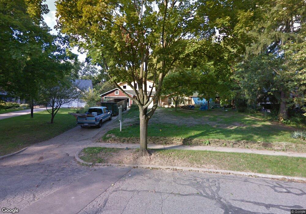
1208 Bydding Rd Ann Arbor, MI 48103
Water Hill NeighborhoodEstimated Value: $741,000 - $1,150,448
4
Beds
3
Baths
2,516
Sq Ft
$380/Sq Ft
Est. Value
About This Home
This home is located at 1208 Bydding Rd, Ann Arbor, MI 48103 and is currently estimated at $955,862, approximately $379 per square foot. 1208 Bydding Rd is a home located in Washtenaw County with nearby schools including Wines Elementary School, Forsythe Middle School, and Skyline High School.
Ownership History
Date
Name
Owned For
Owner Type
Purchase Details
Closed on
Dec 1, 2011
Sold by
Couch James M and Lott Suzanne S
Bought by
Keefer Patricia M and Deyer Christopher W
Current Estimated Value
Home Financials for this Owner
Home Financials are based on the most recent Mortgage that was taken out on this home.
Original Mortgage
$220,000
Outstanding Balance
$150,567
Interest Rate
4.02%
Mortgage Type
New Conventional
Estimated Equity
$805,295
Create a Home Valuation Report for This Property
The Home Valuation Report is an in-depth analysis detailing your home's value as well as a comparison with similar homes in the area
Home Values in the Area
Average Home Value in this Area
Purchase History
We collect this data history from publicly available records. To have your information removed, we recommend requesting removal directly through your county’s website.
| Date | Buyer | Sale Price | Title Company |
|---|---|---|---|
| Keefer Patricia M | $275,000 | Sur |
Source: Public Records
Mortgage History
We collect this data history from publicly available records. To have your information removed, we recommend requesting removal directly through your county’s website.
| Date | Status | Borrower | Loan Amount |
|---|---|---|---|
| Open | Keefer Patricia M | $220,000 |
Source: Public Records
Tax History
| Year | Tax Paid | Tax Assessment Tax Assessment Total Assessment is a certain percentage of the fair market value that is determined by local assessors to be the total taxable value of land and additions on the property. | Land | Improvement |
|---|---|---|---|---|
| 2025 | $15,235 | $500,700 | $0 | $0 |
| 2024 | $14,859 | $458,500 | $0 | $0 |
| 2023 | $13,701 | $393,700 | $0 | $0 |
| 2022 | $14,930 | $407,700 | $0 | $0 |
| 2021 | $14,578 | $391,200 | $0 | $0 |
| 2020 | $14,283 | $381,300 | $0 | $0 |
| 2019 | $13,593 | $327,300 | $327,300 | $0 |
| 2018 | $13,402 | $312,400 | $0 | $0 |
| 2017 | $13,037 | $336,600 | $0 | $0 |
| 2016 | $11,105 | $260,698 | $0 | $0 |
| 2015 | $8,091 | $259,919 | $0 | $0 |
| 2014 | $8,091 | $170,086 | $0 | $0 |
| 2013 | -- | $170,086 | $0 | $0 |
Source: Public Records
Map
Nearby Homes
- 1307 Beechwood Dr
- 1026 Gott St
- 1101 Miner St
- 1321 Orkney Dr
- 1214 Pomona Rd
- 606 W Summit St
- 1132 Longshore Dr Unit 2
- 1124 Longshore Dr Unit 1
- 510 Hiscock St
- 118 W Summit St
- 1102 Arborview Blvd
- 811 N Main St
- 1001 Arborview Blvd
- 408 Felch St
- 2176 Overlook Ct
- 2172 Overlook Ct
- 1212 Arborview Blvd
- 424 Mark Hannah Place
- 2134 Overlook Ct
- 2108 Newport Rd Unit Parcel 2108
Your Personal Tour Guide
Ask me questions while you tour the home.