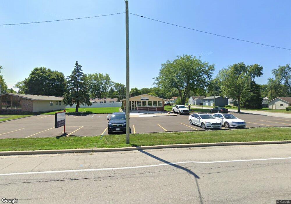
1208 Lincoln Hwy E New Haven, IN 46774
Estimated Value: $185,997
--
Bed
--
Bath
1,428
Sq Ft
$130/Sq Ft
Est. Value
About This Home
This home is located at 1208 Lincoln Hwy E, New Haven, IN 46774 and is currently estimated at $185,997, approximately $130 per square foot. 1208 Lincoln Hwy E is a home located in Allen County with nearby schools including New Haven Primary School, New Haven Intermediate School, and New Haven High School.
Ownership History
Date
Name
Owned For
Owner Type
Purchase Details
Closed on
Nov 11, 2021
Sold by
Stratton Michael K and Stratton Debra Sue
Bought by
Map Enterprises Llc
Current Estimated Value
Purchase Details
Closed on
Nov 10, 2021
Sold by
Stratton Michael K and Stratton Debra Sue
Bought by
Map Enterprises Llc
Purchase Details
Closed on
Nov 20, 2018
Sold by
Stratton Michael K and Stratton Debra Sue
Bought by
Pieri Timothy D and Pieri Sandra E
Purchase Details
Closed on
Oct 29, 2018
Sold by
Stratton James A
Bought by
Stratton Michael K and Stratton Debra Sue
Create a Home Valuation Report for This Property
The Home Valuation Report is an in-depth analysis detailing your home's value as well as a comparison with similar homes in the area
Home Values in the Area
Average Home Value in this Area
Purchase History
| Date | Buyer | Sale Price | Title Company |
|---|---|---|---|
| Map Enterprises Llc | -- | Metropolitan Title | |
| Map Enterprises Llc | $143,000 | Metropolitan Title Of In Llc | |
| Pieri Timothy D | -- | None Available | |
| Stratton Michael K | -- | None Available |
Source: Public Records
Tax History Compared to Growth
Tax History
| Year | Tax Paid | Tax Assessment Tax Assessment Total Assessment is a certain percentage of the fair market value that is determined by local assessors to be the total taxable value of land and additions on the property. | Land | Improvement |
|---|---|---|---|---|
| 2024 | $3,569 | $144,300 | $45,200 | $99,100 |
| 2022 | $3,508 | $141,400 | $45,200 | $96,200 |
| 2021 | $3,749 | $138,200 | $30,100 | $108,100 |
| 2020 | $4,412 | $165,000 | $45,200 | $119,800 |
| 2019 | $3,057 | $109,500 | $45,200 | $64,300 |
| 2018 | $3,204 | $109,500 | $45,200 | $64,300 |
| 2017 | $3,425 | $114,000 | $45,000 | $69,000 |
| 2016 | $3,399 | $113,300 | $45,000 | $68,300 |
| 2014 | $3,159 | $109,200 | $45,000 | $64,200 |
| 2013 | $3,229 | $109,900 | $45,000 | $64,900 |
Source: Public Records
Map
Nearby Homes
- 1135 Summit St
- 1415 Summit St
- 1511 State Road 930 E Rd
- 738 Keller Dr
- 627 Main St
- 2427 Valley Creek Run
- 1004 Keller Dr
- 2512 Valley Creek Run
- 347 Twillo Run Dr
- 9224 Havenway Dr
- 241 Tweedwood Dr
- 1506 Tartan Ct
- 1231 Lost Lock Way
- 1710 Richfield Dr
- 1717 E Macgregor Dr
- 134 Bade St
- 928 Straford Rd
- 9915 N Country Knoll
- 719 Moeller Rd
- 3602 Kirklynn Dr
- 1220 Lincoln Hwy E
- 1154 Lincoln Hwy E
- 1205 Park Ave
- 1215 Park Ave
- 1136 Lincoln Hwy E
- 1227 Park Ave
- 1202 Hartzell St
- 1147 Park Ave
- 1152 Hartzell St
- 1210 Hartzell St
- 1148 Hartzell St
- 1235 Park Ave
- 1133 Park Ave
- 1128 Lincoln Hwy E
- 1142 Hartzell St
- 1230 Lincoln Hwy E
- 1134 Hartzell St
- 1212 Park Ave
- 1122 Lincoln Hwy E