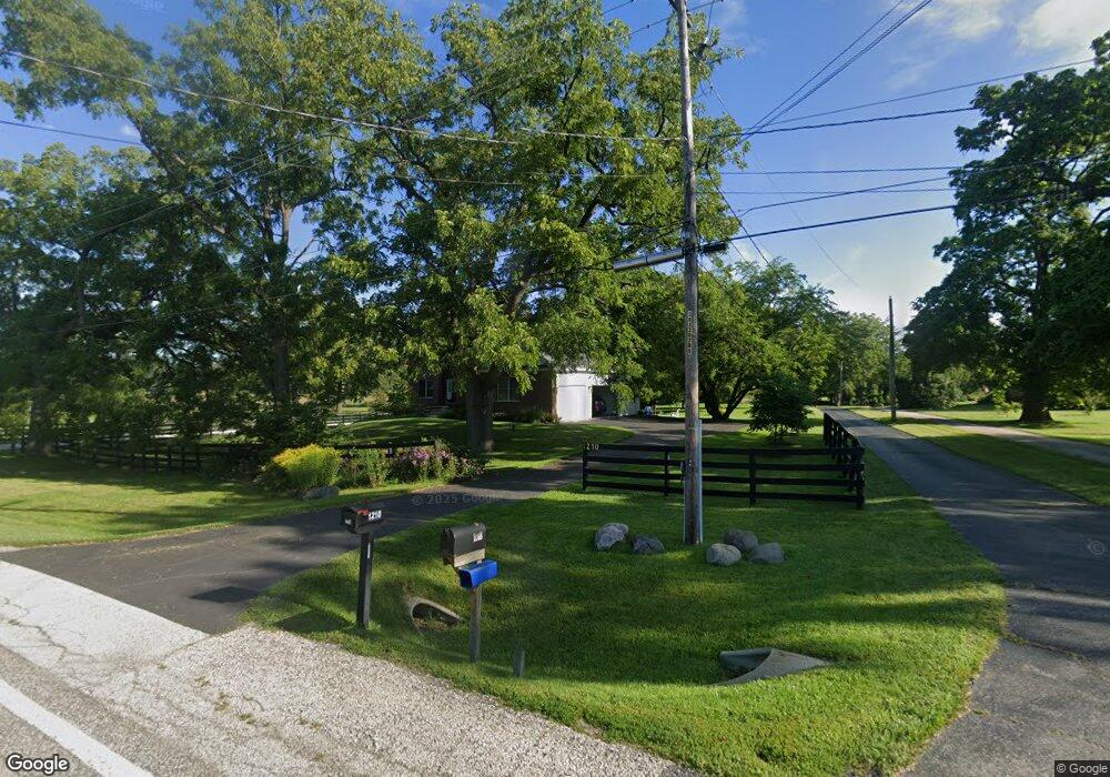
1208 Main Street Rd Spring Grove, IL 60081
Estimated Value: $474,356 - $525,000
4
Beds
3
Baths
2,315
Sq Ft
$213/Sq Ft
Est. Value
About This Home
This home is located at 1208 Main Street Rd, Spring Grove, IL 60081 and is currently estimated at $493,839, approximately $213 per square foot. 1208 Main Street Rd is a home located in McHenry County with nearby schools including Spring Grove Elementary School, Nippersink Middle School, and Richmond-Burton High School.
Ownership History
Date
Name
Owned For
Owner Type
Purchase Details
Closed on
May 19, 2025
Sold by
Harper-Kelly Holly L and Kelly William J
Bought by
Kelly William J
Current Estimated Value
Home Financials for this Owner
Home Financials are based on the most recent Mortgage that was taken out on this home.
Original Mortgage
$345,000
Outstanding Balance
$343,857
Interest Rate
6.99%
Mortgage Type
New Conventional
Estimated Equity
$149,982
Purchase Details
Closed on
Dec 12, 2003
Sold by
Rabine Gary
Bought by
Kelly William J and Kelly Holly L
Home Financials for this Owner
Home Financials are based on the most recent Mortgage that was taken out on this home.
Original Mortgage
$247,900
Interest Rate
4.75%
Mortgage Type
Purchase Money Mortgage
Create a Home Valuation Report for This Property
The Home Valuation Report is an in-depth analysis detailing your home's value as well as a comparison with similar homes in the area
Home Values in the Area
Average Home Value in this Area
Purchase History
| Date | Buyer | Sale Price | Title Company |
|---|---|---|---|
| Kelly William J | -- | None Listed On Document | |
| Kelly William J | $309,900 | Heritage Title Company |
Source: Public Records
Mortgage History
| Date | Status | Borrower | Loan Amount |
|---|---|---|---|
| Open | Kelly William J | $345,000 | |
| Previous Owner | Kelly William J | $247,900 | |
| Closed | Kelly William J | $30,950 |
Source: Public Records
Tax History Compared to Growth
Tax History
| Year | Tax Paid | Tax Assessment Tax Assessment Total Assessment is a certain percentage of the fair market value that is determined by local assessors to be the total taxable value of land and additions on the property. | Land | Improvement |
|---|---|---|---|---|
| 2024 | $9,915 | $140,017 | $21,072 | $118,945 |
| 2023 | $9,853 | $130,588 | $19,653 | $110,935 |
| 2022 | $9,271 | $114,873 | $17,288 | $97,585 |
| 2021 | $8,810 | $108,289 | $16,297 | $91,992 |
| 2020 | $8,614 | $103,517 | $15,579 | $87,938 |
| 2019 | $8,670 | $101,907 | $15,337 | $86,570 |
| 2018 | $9,228 | $102,757 | $14,863 | $87,894 |
| 2017 | $9,103 | $96,494 | $13,957 | $82,537 |
| 2016 | $9,141 | $92,153 | $13,329 | $78,824 |
| 2013 | -- | $96,638 | $14,687 | $81,951 |
Source: Public Records
Map
Nearby Homes
- 7710 Ravina Dr
- Lot 64 Beverly Way
- Lot 61 Beverly Way
- Lot 60 Beverly Way
- Lot 59 Beverly Way
- Lot 58 Beverly Way
- Lot 57 Beverly Way
- LOT 56 Beverly Way
- Lot 65 & 66 Main Street Rd
- 1410 Linden Rd
- 8303 Appaloosa Ln
- 8300 Appaloosa Ln
- 8407 Appaloosa Ln
- 8501 Country Shire Ln
- 7503 Windsor Ave
- LOT 9 Mayo Ct
- 1852 Red Oak Ln
- 1848 Red Oak Ln
- 1975 Red Oak Ln
- 1876 Red Oak Ln
- 1206 Main Street Rd
- 1210 Main Street Rd
- 1202 Main Street Rd
- 1209 Main Street Rd
- 1207 Main Street Rd
- 1211 Main Street Rd
- 7709 Arlington Ln
- 1215 Main Street Rd
- 7708 Arlington Ln
- 7712 Carleton Dr
- 1245 Main Street Rd
- 7707 Arlington Ln
- 1115 Main Street Rd
- 7716 Beverly Way
- 7708 Carleton Dr
- 7704 Arlington Ln
- 7705 Carleton Dr
- 7705 Carleton Dr
- 7703 Arlington Ln
- 7702 Arlington Ln