Estimated Value: $203,000 - $212,000
3
Beds
1
Bath
1,300
Sq Ft
$159/Sq Ft
Est. Value
About This Home
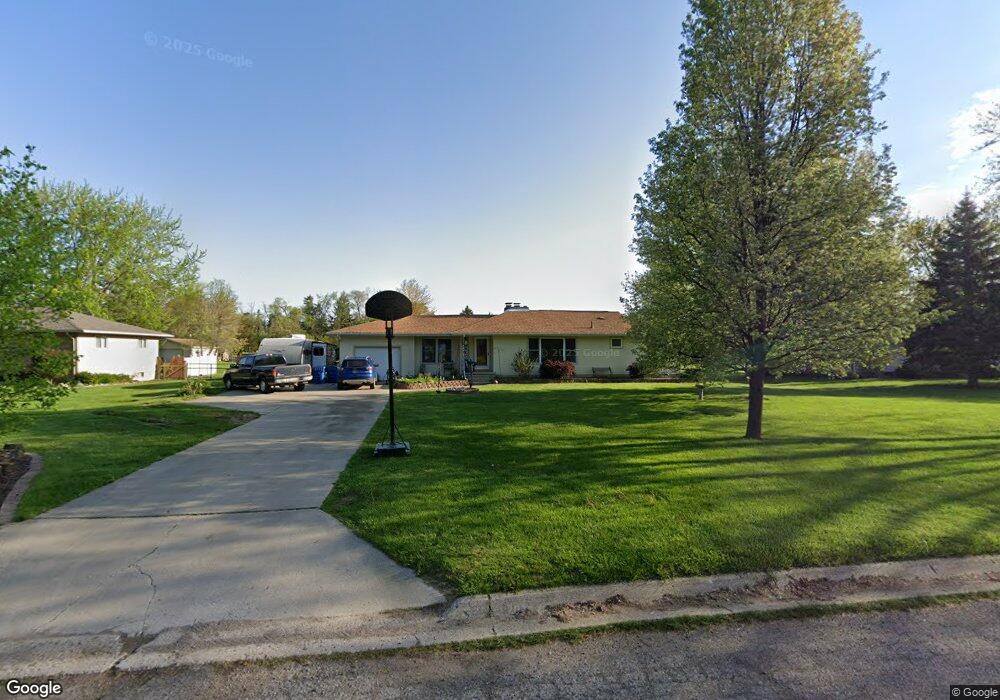
This home is located at 1208 W Rowland St, Flint, MI 48507 and is currently estimated at $206,158, approximately $158 per square foot. 1208 W Rowland St is a home located in Genesee County with nearby schools including Anderson Elementary School, McGrath Elementary School, and Grand Blanc West Middle School.
Ownership History
Date
Name
Owned For
Owner Type
Purchase Details
Closed on
Jul 16, 2009
Sold by
Bell Shawna D T and Bell Jason W
Bought by
Collins David and Collins Sirena J
Current Estimated Value
Home Financials for this Owner
Home Financials are based on the most recent Mortgage that was taken out on this home.
Original Mortgage
$78,750
Outstanding Balance
$51,710
Interest Rate
5.43%
Mortgage Type
New Conventional
Estimated Equity
$154,448
Purchase Details
Closed on
Aug 25, 2004
Sold by
Black George E and Black Monica L
Bought by
Bell Jason W and Bell Shawna D T
Home Financials for this Owner
Home Financials are based on the most recent Mortgage that was taken out on this home.
Original Mortgage
$117,000
Interest Rate
6.1%
Mortgage Type
Purchase Money Mortgage
Create a Home Valuation Report for This Property
The Home Valuation Report is an in-depth analysis detailing your home's value as well as a comparison with similar homes in the area
Home Values in the Area
Average Home Value in this Area
Purchase History
| Date | Buyer | Sale Price | Title Company |
|---|---|---|---|
| Collins David | $87,500 | Lighthouse Title Inc | |
| Bell Jason W | $146,250 | Cislo Title Company |
Source: Public Records
Mortgage History
| Date | Status | Borrower | Loan Amount |
|---|---|---|---|
| Open | Collins David | $78,750 | |
| Previous Owner | Bell Jason W | $117,000 |
Source: Public Records
Tax History Compared to Growth
Tax History
| Year | Tax Paid | Tax Assessment Tax Assessment Total Assessment is a certain percentage of the fair market value that is determined by local assessors to be the total taxable value of land and additions on the property. | Land | Improvement |
|---|---|---|---|---|
| 2025 | $2,483 | $94,500 | $0 | $0 |
| 2024 | $1,455 | $89,500 | $0 | $0 |
| 2023 | $1,388 | $81,600 | $0 | $0 |
| 2022 | $2,184 | $74,900 | $0 | $0 |
| 2021 | $2,150 | $71,200 | $0 | $0 |
| 2020 | $1,280 | $68,600 | $0 | $0 |
| 2019 | $1,261 | $65,700 | $0 | $0 |
| 2018 | $1,963 | $59,000 | $0 | $0 |
| 2017 | $1,879 | $58,400 | $0 | $0 |
| 2016 | $1,870 | $55,500 | $0 | $0 |
| 2015 | $1,609 | $49,100 | $0 | $0 |
| 2014 | $1,100 | $47,200 | $0 | $0 |
| 2012 | -- | $44,600 | $44,600 | $0 |
Source: Public Records
Map
Nearby Homes
- 1136 W Rowland St
- 1256 W Rowland St
- 4480 Cherrytree Ln
- 1044 W Rowland St
- 4460 Saint Martins Dr
- 4505 Old Carriage Rd
- 1203 Pickwick Place
- 4493 Fenton Rd
- 1144 Pickwick Place
- 1130 Leisure Dr Unit 21
- 1045 Leisure Dr Unit 7
- 1380 Sunset Blvd
- 00 Coolidge Dr
- 000 Coolidge Dr
- 0000 Coolidge Dr
- 1108 Trotwood Ln
- 0000 Mckinley Blvd
- 1072 W Williamson Ave
- 00 Mckinley Blvd
- 000 Mckinley Blvd
- 1216 W Rowland St
- 1198 W Rowland St
- 1234 W Rowland St
- 1188 W Rowland St
- 1244 W Rowland St
- 1174 W Rowland St
- 1223 W Maple Ave
- 1199 W Maple Ave
- 1211 W Maple Ave
- 1235 W Maple Ave
- 1207 W Rowland St
- 1221 W Rowland St
- 1197 W Rowland St
- 1160 W Rowland St
- 1235 W Rowland St
- 1189 W Rowland St
- 1243 W Maple Ave
- 1243 W Rowland St
- 1175 W Maple Ave
- 1173 W Rowland St