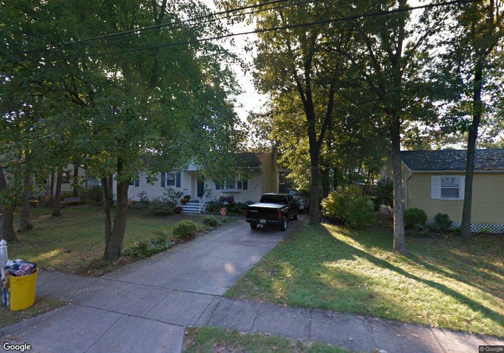
1209 Daniels Ave Pine Hill, NJ 08021
Estimated Value: $229,334 - $299,000
--
Bed
--
Bath
1,108
Sq Ft
$252/Sq Ft
Est. Value
About This Home
This home is located at 1209 Daniels Ave, Pine Hill, NJ 08021 and is currently estimated at $279,584, approximately $252 per square foot. 1209 Daniels Ave is a home located in Camden County with nearby schools including John Glenn Elementary School, Pine Hill Middle School, and Cambridge High School.
Ownership History
Date
Name
Owned For
Owner Type
Purchase Details
Closed on
Dec 18, 2002
Sold by
Estate Of Norma A Graham
Bought by
Blanchard Theron J and Blanchard Janet E
Current Estimated Value
Home Financials for this Owner
Home Financials are based on the most recent Mortgage that was taken out on this home.
Original Mortgage
$78,567
Interest Rate
5.88%
Mortgage Type
FHA
Create a Home Valuation Report for This Property
The Home Valuation Report is an in-depth analysis detailing your home's value as well as a comparison with similar homes in the area
Home Values in the Area
Average Home Value in this Area
Purchase History
| Date | Buyer | Sale Price | Title Company |
|---|---|---|---|
| Blanchard Theron J | $79,800 | -- |
Source: Public Records
Mortgage History
| Date | Status | Borrower | Loan Amount |
|---|---|---|---|
| Previous Owner | Blanchard Theron J | $78,567 |
Source: Public Records
Tax History Compared to Growth
Tax History
| Year | Tax Paid | Tax Assessment Tax Assessment Total Assessment is a certain percentage of the fair market value that is determined by local assessors to be the total taxable value of land and additions on the property. | Land | Improvement |
|---|---|---|---|---|
| 2025 | $6,477 | $114,900 | $24,600 | $90,300 |
| 2024 | $6,253 | $114,900 | $24,600 | $90,300 |
| 2023 | $6,253 | $114,900 | $24,600 | $90,300 |
| 2022 | $6,074 | $114,900 | $24,600 | $90,300 |
| 2021 | $5,750 | $114,900 | $24,600 | $90,300 |
| 2020 | $6,072 | $114,900 | $24,600 | $90,300 |
| 2019 | $894 | $114,900 | $24,600 | $90,300 |
| 2018 | $6,245 | $114,900 | $24,600 | $90,300 |
| 2017 | $6,112 | $114,900 | $24,600 | $90,300 |
| 2016 | $6,438 | $152,700 | $49,600 | $103,100 |
| 2015 | $6,261 | $152,700 | $49,600 | $103,100 |
| 2014 | $6,081 | $152,700 | $49,600 | $103,100 |
Source: Public Records
Map
Nearby Homes
- 25 Estates Ct
- 108 E 12th Ave
- 109 E 11th Ave
- 1588 Kearsley Rd
- 130 E Clearview Ave
- 104 E Clearview Ave
- 49 Hazeltop Dr Unit HZ049
- 1 Carrie Place
- 90 Shenandoah Dr
- 108 Estates Rd
- 85 E 9th Ave
- 40 Mac Knight Dr
- 33 Mac Knight Dr
- 4 East E 9th St
- 1110 Erial Rd
- 16 E 7th Ave
- 28 Mary Ellen Ln
- 12 Loft Mountain Dr Unit LM012
- 73 Hazeltop Dr
- 300 Turnerville Rd
- 1301 Daniels Ave
- 1207 Daniels Ave
- 64 Estates Rd
- 62 Estates Rd
- 1303 Daniels Ave
- 136 E 13th Ave
- 1205 Daniels Ave
- 66 Estates Rd
- 60 Estates Rd
- 1210 Daniels Ave
- 1305 Daniels Ave
- 68 Estates Rd
- 58 Estates Rd
- 1203 Daniels Ave
- 141 E 13th Ave
- 70 Estates Rd
- 1307 Daniels Ave
- 147 Daniels Ave
- 154 E 12th Ave
- 56 Estates Rd