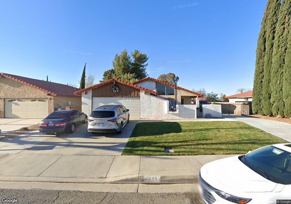
1209 Franklin Ave Lancaster, CA 93535
East Lancaster NeighborhoodEstimated Value: $400,000 - $427,000
About This Home
This home is located at 1209 Franklin Ave, Lancaster, CA 93535 and is currently estimated at $414,253, approximately $267 per square foot. 1209 Franklin Ave is a home located in Los Angeles County with nearby schools including Lincoln Elementary School, New Vista Middle School, and Eastside High School.
Ownership History
We collect this data history from publicly available records. To have your information removed, we recommend requesting removal directly through your county’s website.
Purchase Details
Purchase Details
Purchase Details
Purchase Details
Home Values in the Area
Average Home Value in this Area
Purchase History
We collect this data history from publicly available records. To have your information removed, we recommend requesting removal directly through your county’s website.
| Date | Buyer | Sale Price | Title Company |
|---|---|---|---|
| -- | None Listed On Document | ||
| -- | First American Title | ||
| $150,000 | First American Title | ||
| -- | None Available |
Tax History
We collect this data history from publicly available records. To have your information removed, we recommend requesting removal directly through your county’s website.
| Year | Tax Paid | Tax Assessment Tax Assessment Total Assessment is a certain percentage of the fair market value that is determined by local assessors to be the total taxable value of land and additions on the property. | Land | Improvement |
|---|---|---|---|---|
| 2025 | $3,588 | $180,269 | $36,051 | $144,218 |
| 2024 | $3,408 | $176,736 | $35,345 | $141,391 |
| 2023 | $3,340 | $173,271 | $34,652 | $138,619 |
| 2022 | $3,251 | $169,874 | $33,973 | $135,901 |
| 2021 | $2,863 | $166,544 | $33,307 | $133,237 |
| 2019 | $2,786 | $161,606 | $32,320 | $129,286 |
| 2018 | $2,737 | $158,438 | $31,687 | $126,751 |
| 2016 | $2,596 | $152,287 | $30,457 | $121,830 |
| 2015 | $2,459 | $148,000 | $37,000 | $111,000 |
| 2014 | $2,485 | $148,000 | $37,000 | $111,000 |
Map
- 1200 Pasteur Dr
- 43601 Rembrandt St
- 1138 Encantadora Ln
- 43743 Alain Ct
- 1146 Chagal Ave
- 1247 Marion Ave
- 1519 Michelle Ave
- 87 E Avenue J 12
- 117 E Avenue J 12
- 1144 E Avenue j10
- 1144 E Avenue J 10
- 1123 Herzel Ave
- 43730 Lena Ct
- 1251 Herzel Ave
- 1518 E Avenue J-12
- 1518 E Avenue j12
- 1311 Herzel Ave
- 43711 16th St E
- 43903 11th St E
- 1549 Thomas Dr
- 1201 Franklin Ave
- 1217 Franklin Ave
- 1225 Franklin Ave Unit 1
- 1225 Franklin Ave
- 43702 Rembrandt St
- 1210 Franklin Ave
- 1200 Franklin Ave
- 1218 Franklin Ave
- 1233 Franklin Ave
- 43708 Rembrandt St
- 1224 Franklin Ave
- 43651 Rembrandt St
- 1206 Pasteur Dr
- 43637 Picaso St
- 43617 Rembrandt St
- 43703 Rembrandt St
- 1301 Franklin Ave
- 43714 Rembrandt St
- 1217 Lincoln Ave
- 1211 Lincoln Ave
Ask me questions while you tour the home.