1209 Ludlow Rd Waukon, IA 52172
Estimated Value: $316,000 - $392,000
4
Beds
5
Baths
1,321
Sq Ft
$274/Sq Ft
Est. Value
About This Home
This home is located at 1209 Ludlow Rd, Waukon, IA 52172 and is currently estimated at $361,968, approximately $274 per square foot. 1209 Ludlow Rd is a home located in Allamakee County with nearby schools including West Campus Elementary School, East Campus Elementary School, and Waukon Middle School.
Ownership History
Date
Name
Owned For
Owner Type
Purchase Details
Closed on
Dec 21, 2018
Sold by
Hawes Markus E
Bought by
Hawes Edward E and Hawes Mary B
Current Estimated Value
Create a Home Valuation Report for This Property
The Home Valuation Report is an in-depth analysis detailing your home's value as well as a comparison with similar homes in the area
Home Values in the Area
Average Home Value in this Area
Purchase History
| Date | Buyer | Sale Price | Title Company |
|---|---|---|---|
| Hawes Edward E | $208,000 | None Available |
Source: Public Records
Tax History Compared to Growth
Tax History
| Year | Tax Paid | Tax Assessment Tax Assessment Total Assessment is a certain percentage of the fair market value that is determined by local assessors to be the total taxable value of land and additions on the property. | Land | Improvement |
|---|---|---|---|---|
| 2025 | $3,504 | $321,400 | $49,300 | $272,100 |
| 2024 | $3,504 | $317,600 | $49,300 | $268,300 |
| 2023 | $3,396 | $317,600 | $49,300 | $268,300 |
| 2022 | $2,720 | $238,400 | $49,300 | $189,100 |
| 2021 | $2,598 | $238,400 | $49,300 | $189,100 |
| 2020 | $2,598 | $215,100 | $43,800 | $171,300 |
| 2019 | $2,446 | $200,300 | $0 | $0 |
| 2018 | $2,384 | $200,300 | $0 | $0 |
| 2017 | $2,384 | $182,400 | $0 | $0 |
| 2016 | $2,172 | $182,400 | $0 | $0 |
| 2015 | $2,172 | $184,100 | $0 | $0 |
| 2014 | $2,314 | $184,100 | $0 | $0 |
Source: Public Records
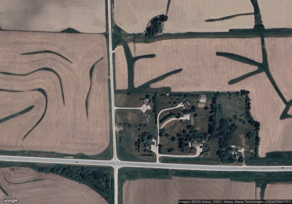
Map
Nearby Homes
- 605 1st Ave SW
- 303 5th St SW
- 430 9th St NW
- 607 W Main St
- 0 SW 11th Ave Unit 20222752
- Allamakee Co. Ia Parcel Id#
- 208 4th St SW
- 104 6th Ave SW
- 306 Sw St
- 0 Parcel Id#1031351007 Unit 20211899
- 0 Parcel Id#1506100051 Unit 20211897
- 0 Parcel Id#1031376012 Unit 20211905
- 0 Parcel Id#1031376013 Unit 20211902
- 0 Parcel Id#1031351004 Unit 20211906
- 0 Parcel Id#1031376005 Unit 20211907
- 0 Parcel Id#1031351006 Unit 20211900
- 22 3rd Ave SE
- 602 2nd St NW
- 820 4th St NW
- 821 4th St NW
- 1204 Acreage Ln
- 1207 Acreage Ln
- 1207 Acreage Ln
- 1211 Acreage Ln
- 1205 Acreage Ln
- 420 Highway 9
- 371 Highway 9
- 1164 Ludlow Rd
- 359 Highway 9
- 456 Highway 9
- 402 Rodayo Dr
- 418 Rodayo Dr
- 428 Rodayo Dr
- 1212 Woodside Ln
- 1208 Woodside Ln
- 1216 Woodside Ln
- 1204 Woodside Ln
- 450 Rodayo Dr
- 1136 Ludlow Rd
- 383 N Line Dr