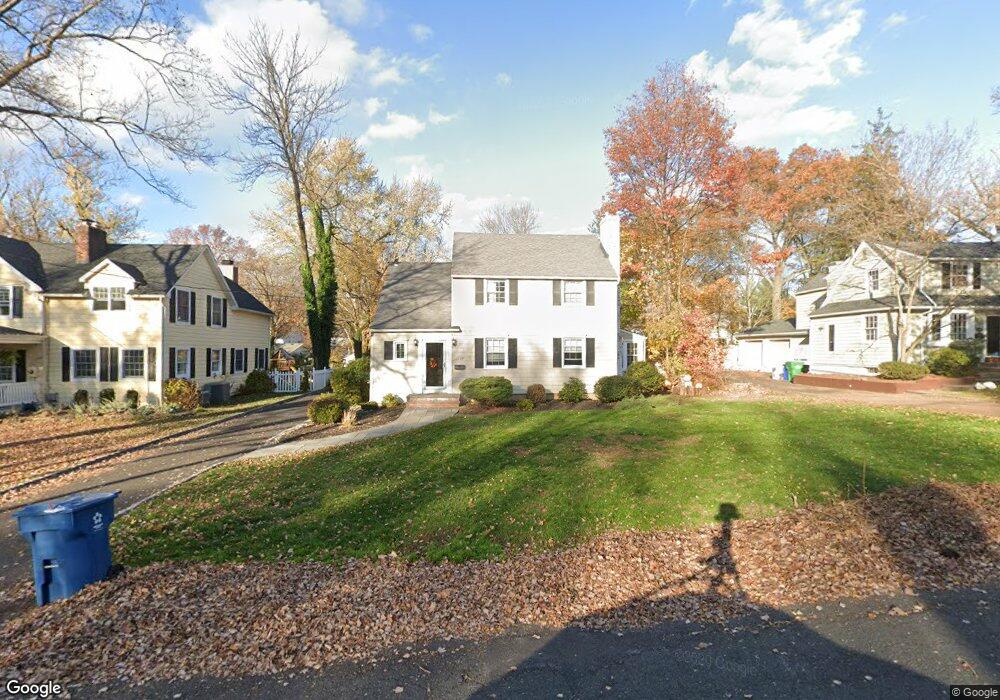
1209 Maple Hill Rd Scotch Plains, NJ 07076
Estimated Value: $869,000
3
Beds
2
Baths
2,248
Sq Ft
$387/Sq Ft
Est. Value
About This Home
This home is located at 1209 Maple Hill Rd, Scotch Plains, NJ 07076 and is currently estimated at $869,000, approximately $386 per square foot. 1209 Maple Hill Rd is a home located in Union County with nearby schools including William J. McGinn Elementary School, Terrill Middle School, and Scotch Plains-Fanwood High School.
Ownership History
Date
Name
Owned For
Owner Type
Purchase Details
Closed on
Aug 7, 2020
Sold by
Desimone Daun
Bought by
Flavin Andrew and Flavin Joanna
Current Estimated Value
Home Financials for this Owner
Home Financials are based on the most recent Mortgage that was taken out on this home.
Original Mortgage
$450,000
Outstanding Balance
$399,919
Interest Rate
3.1%
Mortgage Type
New Conventional
Estimated Equity
$469,081
Purchase Details
Closed on
Feb 17, 2016
Sold by
Clark Thomas B and Clark Daun D
Bought by
Desimone Daun
Create a Home Valuation Report for This Property
The Home Valuation Report is an in-depth analysis detailing your home's value as well as a comparison with similar homes in the area
Home Values in the Area
Average Home Value in this Area
Purchase History
| Date | Buyer | Sale Price | Title Company |
|---|---|---|---|
| Flavin Andrew | $562,500 | Acres Land Title Agency Inc | |
| Desimone Daun | -- | -- |
Source: Public Records
Mortgage History
| Date | Status | Borrower | Loan Amount |
|---|---|---|---|
| Open | Flavin Andrew | $450,000 |
Source: Public Records
Tax History Compared to Growth
Tax History
| Year | Tax Paid | Tax Assessment Tax Assessment Total Assessment is a certain percentage of the fair market value that is determined by local assessors to be the total taxable value of land and additions on the property. | Land | Improvement |
|---|---|---|---|---|
| 2025 | $13,604 | $115,600 | $36,000 | $79,600 |
| 2024 | $12,689 | $115,600 | $36,000 | $79,600 |
| 2023 | $12,689 | $111,100 | $36,000 | $75,100 |
| 2022 | $12,538 | $111,100 | $36,000 | $75,100 |
| 2021 | $12,517 | $111,100 | $36,000 | $75,100 |
| 2020 | $12,457 | $111,100 | $36,000 | $75,100 |
| 2019 | $12,364 | $111,100 | $36,000 | $75,100 |
| 2018 | $12,157 | $111,100 | $36,000 | $75,100 |
| 2017 | $11,555 | $108,000 | $36,000 | $72,000 |
| 2016 | $11,332 | $108,000 | $36,000 | $72,000 |
| 2015 | $11,147 | $108,000 | $36,000 | $72,000 |
| 2014 | $10,779 | $108,000 | $36,000 | $72,000 |
Source: Public Records
Map
Nearby Homes
- 2116 Newark Ave
- 1933 Mary Ellen Ln
- 1933 W Broad St
- 2154 W Broad St
- 2212 Shady Ln
- 119 Lamberts Mill Rd
- 2 Brookside Ct
- 187 King St
- 2219 North Ave Unit 6
- 345 La Grande Ave
- 2314 Longfellow Ave
- 120 S Martine Ave
- 5 Robin Rd
- 1466 Lamberts Mill Rd
- 21 Old South Ave
- 314 Highgate Ave
- 40 1st St
- 350 W Dudley Ave
- 2286 Stocker Ln
- 36 2nd St
- 1215 Maple Hill Rd
- 1203 Maple Hill Rd
- 2058 Meadowview Rd
- 2050 Meadowview Rd
- 1196 Woodside Rd
- 2053 Hill Top Rd
- 1195 Maple Hill Rd
- 1192 Woodside Rd
- 2059 Hill Top Rd
- 1202 Woodside Rd
- 2064 Meadowview Rd
- 1208 Maple Hill Rd
- 2041 Hill Top Rd
- 2065 Hill Top Rd
- 1202 Maple Hill Rd
- 2072 Meadowview Rd
- 1198 Maple Hill Rd
- 2071 Hill Top Rd
- 2025 Hill Top Rd
- 2057 Meadowview Rd