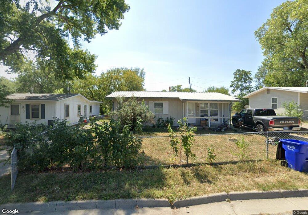
1209 Marshall Dr Junction City, KS 66441
Estimated Value: $98,000 - $135,000
2
Beds
1
Bath
925
Sq Ft
$126/Sq Ft
Est. Value
About This Home
This home is located at 1209 Marshall Dr, Junction City, KS 66441 and is currently estimated at $117,011, approximately $126 per square foot. 1209 Marshall Dr is a home located in Geary County with nearby schools including Westwood Elementary School, Junction City Middle School, and Junction City Senior High School.
Ownership History
Date
Name
Owned For
Owner Type
Purchase Details
Closed on
Jun 5, 2024
Sold by
Shahin Reza and Shahin Gretchen J
Bought by
Clayborn Darryl C
Current Estimated Value
Home Financials for this Owner
Home Financials are based on the most recent Mortgage that was taken out on this home.
Original Mortgage
$56,000
Outstanding Balance
$55,306
Interest Rate
7.17%
Mortgage Type
New Conventional
Estimated Equity
$61,705
Create a Home Valuation Report for This Property
The Home Valuation Report is an in-depth analysis detailing your home's value as well as a comparison with similar homes in the area
Home Values in the Area
Average Home Value in this Area
Purchase History
| Date | Buyer | Sale Price | Title Company |
|---|---|---|---|
| Clayborn Darryl C | -- | Heartland Title |
Source: Public Records
Mortgage History
| Date | Status | Borrower | Loan Amount |
|---|---|---|---|
| Open | Clayborn Darryl C | $56,000 |
Source: Public Records
Tax History Compared to Growth
Tax History
| Year | Tax Paid | Tax Assessment Tax Assessment Total Assessment is a certain percentage of the fair market value that is determined by local assessors to be the total taxable value of land and additions on the property. | Land | Improvement |
|---|---|---|---|---|
| 2025 | $1,697 | $11,486 | $1,291 | $10,195 |
| 2024 | $1,501 | $11,543 | $1,233 | $10,310 |
| 2023 | $1,702 | $10,805 | $1,158 | $9,647 |
| 2022 | $0 | $9,408 | $1,099 | $8,309 |
| 2021 | $0 | $9,396 | $1,033 | $8,363 |
| 2020 | $1,463 | $9,196 | $1,044 | $8,152 |
| 2019 | $1,436 | $9,016 | $798 | $8,218 |
| 2018 | $1,457 | $9,188 | $798 | $8,390 |
| 2017 | $1,471 | $9,188 | $875 | $8,313 |
| 2016 | $1,614 | $9,957 | $849 | $9,108 |
| 2015 | $1,549 | $9,957 | $552 | $9,405 |
| 2014 | $1,455 | $9,778 | $845 | $8,933 |
Source: Public Records
Map
Nearby Homes
- 1129 W 20th Cir
- 2117 Thompson Dr
- 1906 Ehlers Ct
- 1505 Dean Ave
- 1409 W 14th St
- 1631 W 14th Street Place
- 2007 Quail Run
- 2003 Brooke Bend
- 1703 Lydia Ln
- 1309 Hale Dr
- 1202 W 12th St
- 1504 Thompson Dr
- 1904 Davis Dr
- 1119 Fair St
- 811 W 13th St
- 2014 Deer Trail
- 0000 Rucker Rd
- 1834 Katie Rose Trail
- 623 W 13th St
- 1840 Katie Rose Trail