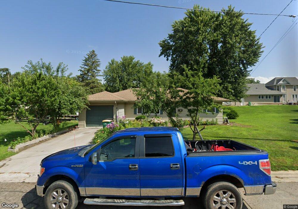
1209 Ramsey St Albert Lea, MN 56007
Estimated Value: $141,925 - $162,000
2
Beds
2
Baths
1,664
Sq Ft
$90/Sq Ft
Est. Value
About This Home
This home is located at 1209 Ramsey St, Albert Lea, MN 56007 and is currently estimated at $149,481, approximately $89 per square foot. 1209 Ramsey St is a home located in Freeborn County with nearby schools including Hawthorne Elementary School, Southwest Middle School, and Albert Lea Senior High School.
Ownership History
Date
Name
Owned For
Owner Type
Purchase Details
Closed on
May 26, 2016
Sold by
Hall Brenda Brenda
Bought by
Daw Mutha
Current Estimated Value
Home Financials for this Owner
Home Financials are based on the most recent Mortgage that was taken out on this home.
Original Mortgage
$79,100
Outstanding Balance
$63,098
Interest Rate
3.64%
Estimated Equity
$86,383
Create a Home Valuation Report for This Property
The Home Valuation Report is an in-depth analysis detailing your home's value as well as a comparison with similar homes in the area
Home Values in the Area
Average Home Value in this Area
Purchase History
| Date | Buyer | Sale Price | Title Company |
|---|---|---|---|
| Daw Mutha | $79,500 | -- |
Source: Public Records
Mortgage History
| Date | Status | Borrower | Loan Amount |
|---|---|---|---|
| Open | Daw Mutha | $79,100 |
Source: Public Records
Tax History
| Year | Tax Paid | Tax Assessment Tax Assessment Total Assessment is a certain percentage of the fair market value that is determined by local assessors to be the total taxable value of land and additions on the property. | Land | Improvement |
|---|---|---|---|---|
| 2025 | $1,804 | $152,400 | $20,100 | $132,300 |
| 2024 | $1,750 | $112,900 | $8,000 | $104,900 |
| 2023 | $1,698 | $112,900 | $8,000 | $104,900 |
| 2022 | $1,598 | $109,400 | $8,000 | $101,400 |
| 2021 | $1,050 | $87,900 | $8,000 | $79,900 |
| 2020 | $1,072 | $83,400 | $8,000 | $75,400 |
| 2019 | $906 | $75,300 | $7,100 | $68,200 |
| 2018 | $872 | $0 | $0 | $0 |
| 2016 | $550 | $0 | $0 | $0 |
| 2015 | $536 | $0 | $0 | $0 |
| 2014 | $566 | $0 | $0 | $0 |
| 2012 | $776 | $0 | $0 | $0 |
Source: Public Records
Map
Nearby Homes
- 614 Garfield Ave
- 717 Garfield Ave
- 1405 Johnson St
- 721 Columbus Ave
- 602 Minnesota Ave
- 808 Freeborn Ave
- 604 Ulstad Ave
- 640 Marshall St
- 1715 SE Marshall St
- 109 Charlotte Ave
- 522 Alice Ave
- TBD Stevens St
- 1917 Bimelich Ln
- 1106 Foothills Cir
- 902 Clausen Ave
- 613 & 615 Giles Place
- 618 & 620 Giles Place
- 115 N Newton Ave
- 212 N Broadway Ave Unit C1
- 319 Glenn Rd
- 500 Garfield Ave
- 501 Saint Thomas Ave
- 509 Saint Thomas Ave
- 430 Garfield Ave
- 429 Saint Thomas Ave
- 426 Garfield Ave
- 425 Saint Thomas Ave
- 606 Garfield Ave
- 515 Saint Thomas Ave
- 513 Garfield Ave
- 511 Garfield Ave
- 422 Garfield Ave
- 429 Garfield Ave
- 517 Garfield Ave
- 423 Saint Thomas Ave
- 504 Saint Thomas Ave
- 508 Saint Thomas Ave
- 519 Garfield Ave
- 512 Saint Thomas Ave
- 508 508 St Thomas Ave
Your Personal Tour Guide
Ask me questions while you tour the home.