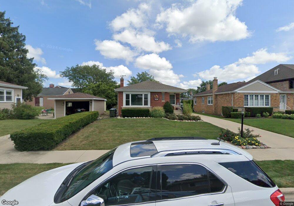
1209 S Washington Ave Park Ridge, IL 60068
O'Hare NeighborhoodEstimated Value: $472,479 - $529,000
3
Beds
1
Bath
1,106
Sq Ft
$462/Sq Ft
Est. Value
About This Home
This home is located at 1209 S Washington Ave, Park Ridge, IL 60068 and is currently estimated at $510,870, approximately $461 per square foot. 1209 S Washington Ave is a home located in Cook County with nearby schools including Theodore Roosevelt Elementary School, Lincoln Middle School, and Maine South High School.
Ownership History
Date
Name
Owned For
Owner Type
Purchase Details
Closed on
Jan 31, 2000
Sold by
Jezierny Robert G
Bought by
Jezierny Robert G and Jezierny Rose M
Current Estimated Value
Purchase Details
Closed on
Dec 16, 1993
Sold by
Kistner Edwin P
Bought by
Jezierny Robert G
Create a Home Valuation Report for This Property
The Home Valuation Report is an in-depth analysis detailing your home's value as well as a comparison with similar homes in the area
Home Values in the Area
Average Home Value in this Area
Purchase History
| Date | Buyer | Sale Price | Title Company |
|---|---|---|---|
| Jezierny Robert G | -- | -- | |
| Jezierny Robert G | $86,666 | -- |
Source: Public Records
Tax History Compared to Growth
Tax History
| Year | Tax Paid | Tax Assessment Tax Assessment Total Assessment is a certain percentage of the fair market value that is determined by local assessors to be the total taxable value of land and additions on the property. | Land | Improvement |
|---|---|---|---|---|
| 2024 | $8,259 | $34,000 | $13,160 | $20,840 |
| 2023 | $7,889 | $34,000 | $13,160 | $20,840 |
| 2022 | $7,889 | $34,000 | $13,160 | $20,840 |
| 2021 | $7,765 | $29,077 | $9,870 | $19,207 |
| 2020 | $7,571 | $29,077 | $9,870 | $19,207 |
| 2019 | $7,511 | $32,344 | $9,870 | $22,474 |
| 2018 | $6,498 | $26,334 | $8,225 | $18,109 |
| 2017 | $6,465 | $26,334 | $8,225 | $18,109 |
| 2016 | $6,460 | $26,334 | $8,225 | $18,109 |
| 2015 | $6,085 | $22,592 | $7,050 | $15,542 |
| 2014 | $5,981 | $22,592 | $7,050 | $15,542 |
| 2013 | $5,648 | $22,592 | $7,050 | $15,542 |
Source: Public Records
Map
Nearby Homes
- 1220 Canfield Rd
- 1021 Cleveland Ave
- 1220 Courtland Ave
- 7725 W Myrtle Ave
- 718 S Washington Ave
- 1632 S Vine Ave
- 819 Albion Ave
- 820 W Talcott Rd
- 7740 W Norwood St
- 1705 S Crescent Ave
- 1425 Brophy Ave
- 1729 Linden Ave
- 1716 S Vine Ave
- 623 S Prospect Ave
- 1116 S Cumberland Ave
- 901 S Cumberland Ave
- 1705 S Prospect Ave
- 6815 N Olmsted Ave Unit 203
- 6681 N Northwest Hwy
- 1015 Arthur St
- 1213 S Washington Ave
- 243 Devon Ave
- 245 Devon Ave
- 1217 S Washington Ave
- 241 Devon Ave
- 235 Devon Ave
- 1221 S Washington Ave
- 1211 S Washington Ave
- 251 Devon Ave
- 217 Devon Ave
- 1215 S Washington Ave
- 1225 S Washington Ave
- 1216 Linden Ave
- 1212 Linden Ave
- 1129 S Washington Ave
- 1220 Linden Ave
- 224 Devon Ave
- 211 Devon Ave
- 1224 Linden Ave
- 1219 S Washington Ave