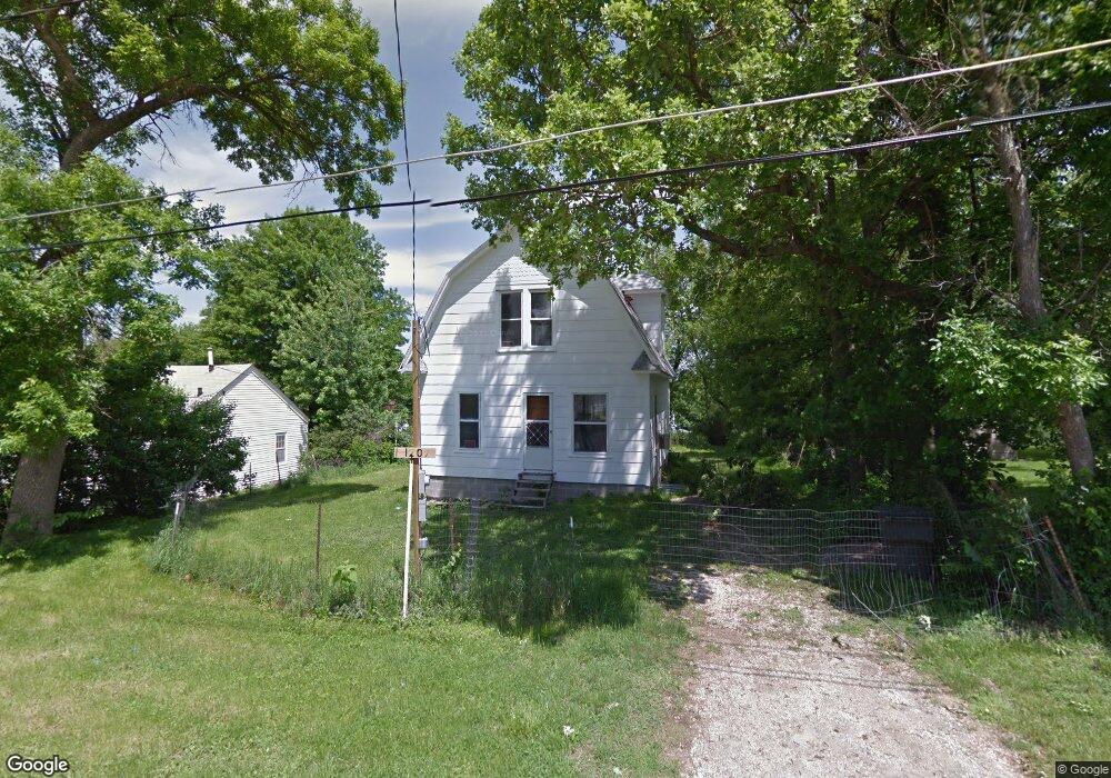
1209 Virginia Ave Des Moines, IA 50315
Greater South Side NeighborhoodEstimated Value: $175,726 - $230,000
2
Beds
2
Baths
1,040
Sq Ft
$189/Sq Ft
Est. Value
About This Home
This home is located at 1209 Virginia Ave, Des Moines, IA 50315 and is currently estimated at $196,932, approximately $189 per square foot. 1209 Virginia Ave is a home located in Polk County with nearby schools including Park Avenue Elementary School, Brody Middle School, and Lincoln High School.
Ownership History
Date
Name
Owned For
Owner Type
Purchase Details
Closed on
Jun 20, 2022
Sold by
Sereg Charles E and Sereg Brenda L
Bought by
Cowger Properties Llc
Current Estimated Value
Purchase Details
Closed on
Mar 7, 2005
Sold by
Deutsche Bank National Co
Bought by
Sereg Charles E and Sereg Brenda L
Purchase Details
Closed on
Feb 10, 2005
Sold by
The Provident Bank
Bought by
Deutsche Bank National Trust Co
Purchase Details
Closed on
Nov 4, 2004
Sold by
Salyers Jeannette Marie
Bought by
The Provident Bank
Create a Home Valuation Report for This Property
The Home Valuation Report is an in-depth analysis detailing your home's value as well as a comparison with similar homes in the area
Home Values in the Area
Average Home Value in this Area
Purchase History
| Date | Buyer | Sale Price | Title Company |
|---|---|---|---|
| Cowger Properties Llc | $46,500 | None Listed On Document | |
| Sereg Charles E | $19,500 | -- | |
| Deutsche Bank National Trust Co | -- | -- | |
| The Provident Bank | $54,289 | -- |
Source: Public Records
Tax History Compared to Growth
Tax History
| Year | Tax Paid | Tax Assessment Tax Assessment Total Assessment is a certain percentage of the fair market value that is determined by local assessors to be the total taxable value of land and additions on the property. | Land | Improvement |
|---|---|---|---|---|
| 2025 | $2,240 | $130,600 | $42,300 | $88,300 |
| 2024 | $2,240 | $113,900 | $36,700 | $77,200 |
| 2023 | $1,280 | $113,900 | $36,700 | $77,200 |
| 2022 | $1,270 | $54,300 | $32,700 | $21,600 |
| 2021 | $1,182 | $54,300 | $32,700 | $21,600 |
| 2020 | $1,228 | $47,400 | $28,600 | $18,800 |
| 2019 | $1,140 | $47,400 | $28,600 | $18,800 |
| 2018 | $1,128 | $42,400 | $25,500 | $16,900 |
| 2017 | $1,058 | $42,400 | $25,500 | $16,900 |
| 2016 | $1,030 | $39,100 | $23,400 | $15,700 |
| 2015 | $1,030 | $39,100 | $23,400 | $15,700 |
| 2014 | $1,026 | $38,600 | $23,100 | $15,500 |
Source: Public Records
Map
Nearby Homes
- 3125 SW 13th Place
- 1220 Creston Ave
- 1230 Park Ave
- 3224 SW 13th Place
- 2720 Glover Ave
- 1209 Edgemont St
- 1518 Park Ave
- 3514 SW 12th St
- 820 Creston Ave
- 1616 Park Ave
- 1710 Park
- 1720 Park Ave
- 3006 SW 18th St
- 3308 SW 7th St
- 3724 SW 13th St
- 3808 SW 12th St
- 612 Creston Ave
- 3605 SW 9th St
- 3618 SW 9th St
- 1902 Park Ave
- 1227 Virginia Ave
- 1215 Virginia Ave
- 1222 Broad St
- 1226 Broad St
- 1220 Broad St
- 1208 Virginia Ave
- 1218 Virginia Ave
- 1218 Broad St
- 1230 Broad St
- 2928 SW 12th St
- 1212 Virginia Ave
- 2906 SW 12th St
- 3002 SW 12th St
- 1232 Broad St
- 1214 Virginia Ave
- 1241 Virginia Ave
- 2900 SW 12th St
- 1234 Broad St
- 3008 SW 12th St
- 1236 Virginia Ave