1209 Whetstone Dr Arnold, MD 21012
Estimated Value: $686,870 - $844,000
Studio
2
Baths
2,344
Sq Ft
$330/Sq Ft
Est. Value
About This Home
This home is located at 1209 Whetstone Dr, Arnold, MD 21012 and is currently estimated at $772,718, approximately $329 per square foot. 1209 Whetstone Dr is a home located in Anne Arundel County with nearby schools including Arnold Elementary School, Severn River Middle School, and Broadneck High School.
Ownership History
Date
Name
Owned For
Owner Type
Purchase Details
Closed on
Sep 1, 2009
Sold by
Nvr Inc
Bought by
Volpe David J
Current Estimated Value
Home Financials for this Owner
Home Financials are based on the most recent Mortgage that was taken out on this home.
Original Mortgage
$200,000
Interest Rate
5.17%
Mortgage Type
New Conventional
Purchase Details
Closed on
May 26, 2009
Sold by
Trethaway Lc
Bought by
Nvr Inc
Create a Home Valuation Report for This Property
The Home Valuation Report is an in-depth analysis detailing your home's value as well as a comparison with similar homes in the area
Home Values in the Area
Average Home Value in this Area
Purchase History
| Date | Buyer | Sale Price | Title Company |
|---|---|---|---|
| Volpe David J | $503,370 | -- | |
| Nvr Inc | $182,000 | -- |
Source: Public Records
Mortgage History
| Date | Status | Borrower | Loan Amount |
|---|---|---|---|
| Closed | Volpe David J | $200,000 |
Source: Public Records
Tax History
| Year | Tax Paid | Tax Assessment Tax Assessment Total Assessment is a certain percentage of the fair market value that is determined by local assessors to be the total taxable value of land and additions on the property. | Land | Improvement |
|---|---|---|---|---|
| 2025 | $6,099 | $550,767 | -- | -- |
| 2024 | $6,099 | $515,400 | $168,600 | $346,800 |
| 2023 | $5,944 | $504,000 | $0 | $0 |
| 2022 | $5,561 | $492,600 | $0 | $0 |
| 2020 | $5,394 | $478,700 | $0 | $0 |
| 2019 | $5,373 | $476,200 | $0 | $0 |
| 2018 | $4,803 | $473,700 | $174,200 | $299,500 |
| 2017 | $5,147 | $467,500 | $0 | $0 |
| 2016 | -- | $461,300 | $0 | $0 |
| 2015 | -- | $455,100 | $0 | $0 |
| 2014 | -- | $452,633 | $0 | $0 |
Source: Public Records
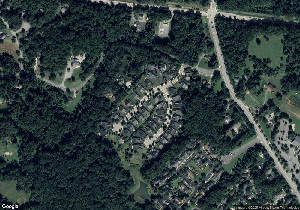
Map
Nearby Homes
- 1254 Masters Dr
- 1553 Star Pine Dr
- 1534 Lodge Pole Ct
- 413 Colonial Ridge Ln
- 371 Freshfield Ln
- 1587 Lodge Pole Ct
- 1411 Peregrine Path
- 1410 Greendale Ct Unit 2-1410
- 136 Collington Ct
- 1525 Hickory Wood Dr
- 618 Newbridge Ct Unit 3-618
- 656 Newbridge Ct Unit 4-656
- 0 Shot Town Rd Unit MDAA2113200
- 1420 Gilbert Rd
- 628 Southern Hills Dr Unit B-2C
- 624 Southern Hills Dr Unit B-2A
- 1419 Mariner Dr
- 662 Jupiter Hills Ct
- 1420 Mariner Dr
- 1221 Seminole Dr
- 1211 Whetstone Dr
- 1207 Whetstone Dr
- 302 Grindstone Dr
- 304 Grindstone Dr
- 1213 Whetstone Dr
- 306 Grindstone Dr
- 1216 Whetstone Dr
- 1214 Whetstone Dr
- 308 Grindstone Dr
- 1212 Whetstone Dr
- 1215 Whetstone Dr
- 310 Grindstone Dr
- 301 Grindstone Dr
- 303 Grindstone Dr
- 1210 Whetstone Dr
- 1217 Whetstone Dr
- 1220 Whetstone Dr
- 305 Grindstone Dr
- 312 Grindstone Dr
- 311 Grindstone Dr
Your Personal Tour Guide
Ask me questions while you tour the home.