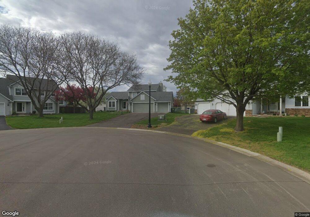
12093 Silverod St NW Coon Rapids, MN 55433
Estimated Value: $387,000 - $418,000
4
Beds
2
Baths
1,176
Sq Ft
$340/Sq Ft
Est. Value
About This Home
This home is located at 12093 Silverod St NW, Coon Rapids, MN 55433 and is currently estimated at $399,653, approximately $339 per square foot. 12093 Silverod St NW is a home located in Anoka County with nearby schools including Lucile Bruner Elementary School, Hoover Elementary School, and Laughlin Junior/Senior High School.
Ownership History
Date
Name
Owned For
Owner Type
Purchase Details
Closed on
Sep 9, 2021
Sold by
Lajoie Adrienne M and Lajoie Garrett M
Bought by
Lajoie Adrienne M and Lajoie Garrett M
Current Estimated Value
Purchase Details
Closed on
Apr 18, 2016
Sold by
Selisker Robert M and Selisker Tara T
Bought by
Russo Adrienne M
Home Financials for this Owner
Home Financials are based on the most recent Mortgage that was taken out on this home.
Original Mortgage
$192,000
Interest Rate
3.5%
Mortgage Type
New Conventional
Purchase Details
Closed on
Dec 16, 2009
Sold by
Jones Shawn P and Jones Constance E
Bought by
Selisker Robert M and Jazazewski Tara T
Home Financials for this Owner
Home Financials are based on the most recent Mortgage that was taken out on this home.
Original Mortgage
$211,105
Interest Rate
5.5%
Mortgage Type
FHA
Create a Home Valuation Report for This Property
The Home Valuation Report is an in-depth analysis detailing your home's value as well as a comparison with similar homes in the area
Home Values in the Area
Average Home Value in this Area
Purchase History
| Date | Buyer | Sale Price | Title Company |
|---|---|---|---|
| Lajoie Adrienne M | -- | None Available | |
| Russo Adrienne M | $240,000 | Titlesmart Inc | |
| Selisker Robert M | $215,000 | -- |
Source: Public Records
Mortgage History
| Date | Status | Borrower | Loan Amount |
|---|---|---|---|
| Previous Owner | Russo Adrienne M | $192,000 | |
| Previous Owner | Selisker Robert M | $211,105 |
Source: Public Records
Tax History Compared to Growth
Tax History
| Year | Tax Paid | Tax Assessment Tax Assessment Total Assessment is a certain percentage of the fair market value that is determined by local assessors to be the total taxable value of land and additions on the property. | Land | Improvement |
|---|---|---|---|---|
| 2025 | $4,082 | $374,700 | $104,800 | $269,900 |
| 2024 | $4,082 | $363,400 | $94,800 | $268,600 |
| 2023 | $3,752 | $346,800 | $78,300 | $268,500 |
| 2022 | $3,229 | $355,800 | $78,300 | $277,500 |
| 2021 | $3,062 | $294,800 | $71,700 | $223,100 |
| 2020 | $3,077 | $274,500 | $61,700 | $212,800 |
| 2019 | $2,986 | $264,900 | $61,700 | $203,200 |
| 2018 | $2,825 | $250,500 | $0 | $0 |
| 2017 | $2,455 | $231,300 | $0 | $0 |
| 2016 | $2,500 | $200,100 | $0 | $0 |
| 2015 | $2,439 | $200,100 | $50,400 | $149,700 |
| 2014 | -- | $178,000 | $46,100 | $131,900 |
Source: Public Records
Map
Nearby Homes
- 3649 121st Ave NW
- 11984 Orchid St NW
- 11927 Vintage St NW
- 11901 Vintage St NW
- 12189 Lily St NW
- 3074 121st Ave NW
- 3953 124th Ave NW
- 1015 South St
- 3501 115th Ln NW
- 4193 119th Ln NW
- 3020 117th Ave NW
- 1224 8th Ln
- 837 Adams St
- 2862 116th Ave NW
- 1319 7th Ln
- 11749 Crooked Lake Blvd NW
- 11601 9th Ave NW
- xxxx Washington St
- 3227 Northdale Ln NW
- 12019 Zion St NW
- 12095 Silverod St NW
- 12089 Silverod St NW
- 3538 121st Ave NW
- 3530 121st Ave NW
- 12085 Silverod St NW
- 3546 121st Ave NW
- 12098 Silverod St NW
- 3522 121st Ave NW
- 12092 Silverod St NW
- 12086 Silverod St NW
- 3514 121st Ave NW
- 12081 Silverod St NW
- 3554 121st Ave NW
- 3601 121st Ave NW
- 12084 Silverod St NW
- 3527 121st Ave NW
- 3543 121st Ave NW
- 12082 Silverod St NW
- 3535 121st Ave NW
- 3517 121st Ave NW