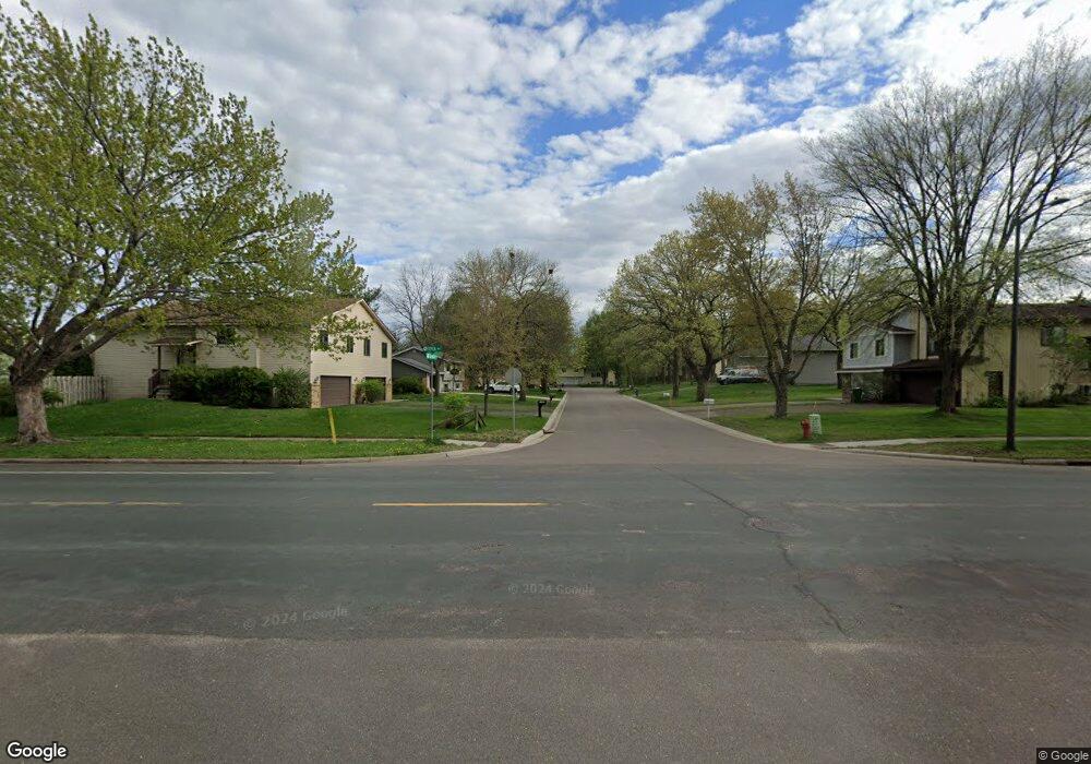
12098 Silverod St NW Coon Rapids, MN 55433
Estimated Value: $385,000 - $408,000
4
Beds
3
Baths
1,175
Sq Ft
$338/Sq Ft
Est. Value
About This Home
This home is located at 12098 Silverod St NW, Coon Rapids, MN 55433 and is currently estimated at $397,188, approximately $338 per square foot. 12098 Silverod St NW is a home located in Anoka County with nearby schools including Lucile Bruner Elementary School, Hoover Elementary School, and Laughlin Junior/Senior High School.
Ownership History
Date
Name
Owned For
Owner Type
Purchase Details
Closed on
Jan 25, 2007
Sold by
Burt Charles A and Burt Renee R
Bought by
Ondieki Andrew O and Oyaro Evans Okari
Current Estimated Value
Home Financials for this Owner
Home Financials are based on the most recent Mortgage that was taken out on this home.
Original Mortgage
$246,100
Outstanding Balance
$147,894
Interest Rate
6.22%
Mortgage Type
FHA
Estimated Equity
$249,294
Create a Home Valuation Report for This Property
The Home Valuation Report is an in-depth analysis detailing your home's value as well as a comparison with similar homes in the area
Home Values in the Area
Average Home Value in this Area
Purchase History
| Date | Buyer | Sale Price | Title Company |
|---|---|---|---|
| Ondieki Andrew O | $250,000 | -- |
Source: Public Records
Mortgage History
| Date | Status | Borrower | Loan Amount |
|---|---|---|---|
| Open | Ondieki Andrew O | $246,100 |
Source: Public Records
Tax History Compared to Growth
Tax History
| Year | Tax Paid | Tax Assessment Tax Assessment Total Assessment is a certain percentage of the fair market value that is determined by local assessors to be the total taxable value of land and additions on the property. | Land | Improvement |
|---|---|---|---|---|
| 2025 | $4,135 | $372,900 | $95,000 | $277,900 |
| 2024 | $4,135 | $362,700 | $86,000 | $276,700 |
| 2023 | $3,831 | $352,900 | $71,000 | $281,900 |
| 2022 | $3,070 | $361,500 | $71,000 | $290,500 |
| 2021 | $2,918 | $281,500 | $65,000 | $216,500 |
| 2020 | $2,968 | $262,800 | $56,000 | $206,800 |
| 2019 | $2,854 | $256,500 | $56,000 | $200,500 |
| 2018 | $2,858 | $240,600 | $0 | $0 |
| 2017 | $2,497 | $233,700 | $0 | $0 |
| 2016 | $2,547 | $203,400 | $0 | $0 |
| 2015 | $2,490 | $203,400 | $52,800 | $150,600 |
| 2014 | -- | $182,100 | $48,300 | $133,800 |
Source: Public Records
Map
Nearby Homes
- 3649 121st Ave NW
- 11984 Orchid St NW
- 11927 Vintage St NW
- 11901 Vintage St NW
- 12189 Lily St NW
- 1015 South St
- 3953 124th Ave NW
- 3501 115th Ln NW
- 3074 121st Ave NW
- 4193 119th Ln NW
- 3020 117th Ave NW
- 1224 8th Ln
- 837 Adams St
- 11601 9th Ave NW
- 1319 7th Ln
- 2862 116th Ave NW
- xxxx Washington St
- 11749 Crooked Lake Blvd NW
- 718 Jackson St
- 12019 Zion St NW
- 12092 Silverod St NW
- 12095 Silverod St NW
- 3601 121st Ave NW
- 12086 Silverod St NW
- 12093 Silverod St NW
- 3610 121st Ave NW
- 12089 Silverod St NW
- 3617 121st Ave NW
- 12084 Silverod St NW
- 12085 Silverod St NW
- 3538 121st Ave NW
- 3626 121st Ave NW
- 3530 121st Ave NW
- 12082 Silverod St NW
- 3546 121st Ave NW
- 3633 121st Ave NW
- 12081 Silverod St NW
- 3522 121st Ave NW
- 3642 121st Ave NW
- 3554 121st Ave NW