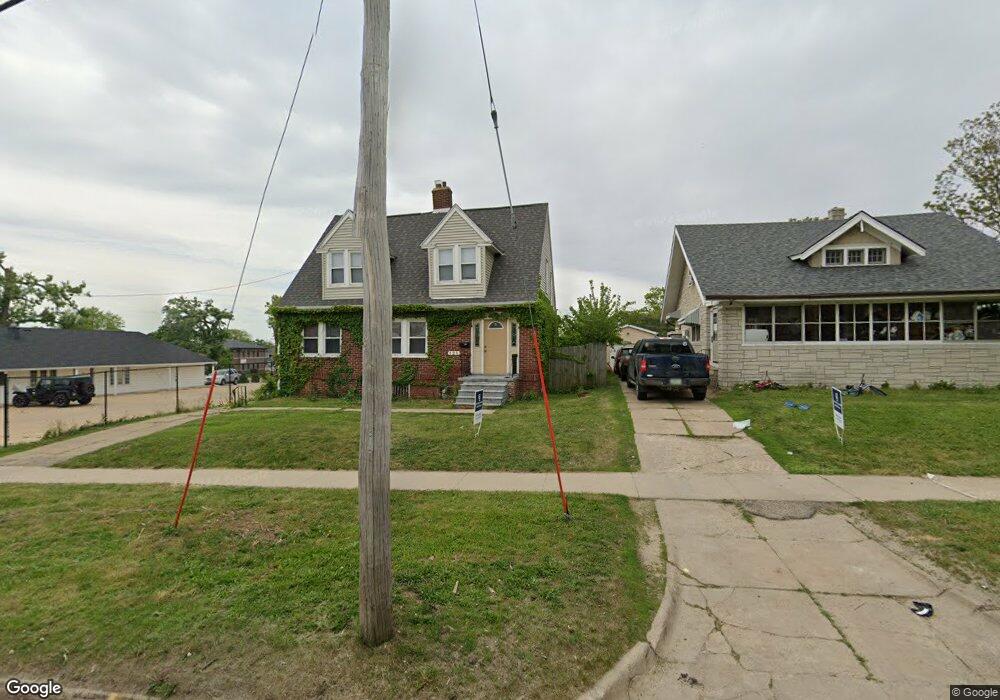
121 19th St NE Cedar Rapids, IA 52402
Mound View NeighborhoodEstimated Value: $121,000 - $157,000
3
Beds
2
Baths
1,618
Sq Ft
$90/Sq Ft
Est. Value
About This Home
This home is located at 121 19th St NE, Cedar Rapids, IA 52402 and is currently estimated at $145,159, approximately $89 per square foot. 121 19th St NE is a home located in Linn County with nearby schools including Arthur Elementary School, Franklin Middle School, and George Washington High School.
Ownership History
Date
Name
Owned For
Owner Type
Purchase Details
Closed on
Mar 20, 2023
Sold by
Boulder Valley Llc
Bought by
Scottsman Properties Vii Llc
Current Estimated Value
Home Financials for this Owner
Home Financials are based on the most recent Mortgage that was taken out on this home.
Original Mortgage
$91,023
Outstanding Balance
$48,961
Interest Rate
6.09%
Mortgage Type
New Conventional
Estimated Equity
$96,198
Purchase Details
Closed on
Feb 10, 2006
Sold by
Brundridge Anne M and Brundridge Ronald G
Bought by
Miell Robert K
Home Financials for this Owner
Home Financials are based on the most recent Mortgage that was taken out on this home.
Original Mortgage
$76,580
Interest Rate
6.2%
Mortgage Type
Unknown
Create a Home Valuation Report for This Property
The Home Valuation Report is an in-depth analysis detailing your home's value as well as a comparison with similar homes in the area
Home Values in the Area
Average Home Value in this Area
Purchase History
| Date | Buyer | Sale Price | Title Company |
|---|---|---|---|
| Scottsman Properties Vii Llc | $101,500 | -- | |
| Miell Robert K | $229,500 | None Available |
Source: Public Records
Mortgage History
| Date | Status | Borrower | Loan Amount |
|---|---|---|---|
| Open | Scottsman Properties Vii Llc | $91,023 | |
| Previous Owner | Miell Robert K | $76,580 |
Source: Public Records
Tax History Compared to Growth
Tax History
| Year | Tax Paid | Tax Assessment Tax Assessment Total Assessment is a certain percentage of the fair market value that is determined by local assessors to be the total taxable value of land and additions on the property. | Land | Improvement |
|---|---|---|---|---|
| 2025 | $2,272 | $130,800 | $33,200 | $97,600 |
| 2024 | $2,568 | $122,700 | $30,600 | $92,100 |
| 2023 | $2,568 | $128,400 | $25,500 | $102,900 |
| 2022 | $2,456 | $121,800 | $25,500 | $96,300 |
| 2021 | $2,744 | $118,600 | $25,500 | $93,100 |
| 2020 | $2,744 | $124,400 | $25,500 | $98,900 |
| 2019 | $2,520 | $116,900 | $25,500 | $91,400 |
| 2018 | $2,116 | $116,900 | $25,500 | $91,400 |
| 2017 | $2,042 | $93,800 | $25,500 | $68,300 |
| 2016 | $2,248 | $105,800 | $25,500 | $80,300 |
| 2015 | $2,344 | $110,158 | $25,500 | $84,658 |
| 2014 | $2,344 | $110,158 | $25,500 | $84,658 |
| 2013 | $2,294 | $110,158 | $25,500 | $84,658 |
Source: Public Records
Map
Nearby Homes
- 1831 2nd Ave SE
- 1748 A Ave NE
- 1953 1st Ave E Unit 301
- 1953 1st Ave SE Unit 301
- 1953 1st Ave SE Unit 503
- 1953 2nd Ave SE
- 1746 B Ave NE
- 1813 3rd Ave SE
- 1735 C Ave NE
- 116 17th St NE
- 1703 A Ave NE
- 8821 Zeppelin Ave NE
- 1719 C Ave NE
- 1821 Ridgewood Terrace SE
- 122 20th St NE
- 1628 2nd Ave SE
- 1857 E Ave NE
- 1815 E Ave NE
- 1711 Blake Blvd SE
- 1801 Blake Blvd SE
- 127 19th St NE
- 129 19th St NE
- 1860 1st Ave NE
- 1844 1st Ave NE
- 201 19th St NE
- 205 19th St NE
- 1852 A Ave NE Unit 3
- 1852 A Ave NE Unit 2
- 1852 A Ave NE Unit 1
- 1852 A Ave NE Unit 4
- 1900 1st Ave NE
- 1834 1st Ave NE
- 1846 A Ave NE Unit 3
- 1846 A Ave NE Unit 2
- 1846 A Ave NE Unit 1
- 1846 A Ave NE Unit 4
- 1832 1st Ave NE
- 1834 1st Ave NE
- 1856 A Ave NE
- 209 19th St NE