121 Algonquin Rd Enfield, NH 03748
Estimated Value: $753,000 - $934,000
4
Beds
3
Baths
1,731
Sq Ft
$505/Sq Ft
Est. Value
About This Home
This home is located at 121 Algonquin Rd, Enfield, NH 03748 and is currently estimated at $873,905, approximately $504 per square foot. 121 Algonquin Rd is a home located in Grafton County with nearby schools including Enfield Village School, Indian River School, and Mascoma Valley Regional High School.
Ownership History
Date
Name
Owned For
Owner Type
Purchase Details
Closed on
Jan 12, 2005
Sold by
Mirski Paul M and Mirski Kaye A
Bought by
Mirski Sara K
Current Estimated Value
Create a Home Valuation Report for This Property
The Home Valuation Report is an in-depth analysis detailing your home's value as well as a comparison with similar homes in the area
Home Values in the Area
Average Home Value in this Area
Purchase History
| Date | Buyer | Sale Price | Title Company |
|---|---|---|---|
| Mirski Sara K | $258,000 | -- | |
| Mirski Sara K | $258,000 | -- |
Source: Public Records
Mortgage History
| Date | Status | Borrower | Loan Amount |
|---|---|---|---|
| Open | Mirski Sara K | $480,000 | |
| Closed | Mirski Sara K | $355,000 | |
| Closed | Mirski Sara K | $250,000 |
Source: Public Records
Tax History
| Year | Tax Paid | Tax Assessment Tax Assessment Total Assessment is a certain percentage of the fair market value that is determined by local assessors to be the total taxable value of land and additions on the property. | Land | Improvement |
|---|---|---|---|---|
| 2025 | $13,715 | $769,200 | $437,700 | $331,500 |
| 2024 | $15,667 | $926,500 | $595,000 | $331,500 |
| 2023 | $13,300 | $489,700 | $322,800 | $166,900 |
| 2022 | $10,220 | $396,900 | $230,200 | $166,700 |
| 2021 | $9,966 | $396,900 | $230,200 | $166,700 |
| 2020 | $10,101 | $396,900 | $230,200 | $166,700 |
| 2015 | $7,695 | $306,800 | $180,600 | $126,200 |
| 2014 | $8,428 | $363,900 | $214,800 | $149,100 |
| 2013 | $7,758 | $363,900 | $214,800 | $149,100 |
| 2012 | $5,978 | $294,500 | $214,800 | $79,700 |
Source: Public Records
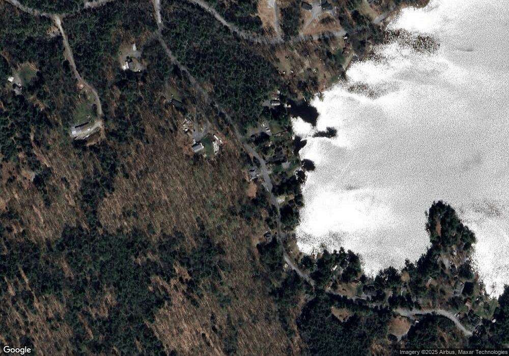
Map
Nearby Homes
- 91 Algonquin Rd
- 453 Rt 4 Dr
- 0 Grafton Pond Rd Unit 64-1
- 11 Marsten Ln Unit 33
- Lot#47-3 Grafton Pond Rd
- 672-3 Bog Rd
- 93 Chosen Vale Ln
- 116 Smith Pond Rd
- 49 Chosen Vale Ln
- 41 Chosen Vale Ln
- Lot 1 Nh Route 4a
- Lot 2 Nh Route 4a
- 0 Lovejoy Brook Rd
- 672 Bog Rd
- 301 Hardy Hill Rd
- 25 Union St
- 0 Potato Rd Unit 75A
- 21 Shore Rd
- 347 U S 4
- 10 Chester Ln Unit 4
- 119 Algonquin Rd
- 117 Algonquin Rd
- 133 Algonquin Rd
- 129 Algonquin Rd
- 113 Algonquin Rd
- 109 Algonquin Rd
- 137 Algonquin Rd
- 10 Rollins Point Rd
- 12 Rollins Point Rd
- 140 Algonquin Rd
- 190 Algonquin Rd
- 141 Algonquin Rd
- 14 Rollins Point Rd
- 5 Rollins Point Rd
- 13 Rollins Point Rd
- 93 Algonquin Rd
- 16 Rollins Point Rd
- 98 Algonquin Rd
- 17 Rollins Point Rd
- 143 Algonquin Rd
Your Personal Tour Guide
Ask me questions while you tour the home.