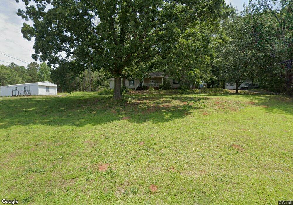
121 Balmoral Rd Anderson, SC 29625
Estimated Value: $269,000 - $315,000
3
Beds
2
Baths
1,500
Sq Ft
$190/Sq Ft
Est. Value
About This Home
This home is located at 121 Balmoral Rd, Anderson, SC 29625 and is currently estimated at $285,081, approximately $190 per square foot. 121 Balmoral Rd is a home located in Anderson County with nearby schools including Pendleton High School.
Ownership History
Date
Name
Owned For
Owner Type
Purchase Details
Closed on
Sep 7, 2018
Sold by
Simpson Linda L
Bought by
Webb Carol and Nixon Kandis J
Current Estimated Value
Home Financials for this Owner
Home Financials are based on the most recent Mortgage that was taken out on this home.
Original Mortgage
$121,489
Outstanding Balance
$108,147
Interest Rate
5.62%
Mortgage Type
FHA
Estimated Equity
$176,934
Purchase Details
Closed on
Feb 6, 2006
Sold by
Simpson James H and Simpson Linda L
Bought by
Simpson Linda L
Purchase Details
Closed on
Jul 18, 2005
Sold by
Raines Kenneth L and Raines Jean H
Bought by
Neumeyer William F and Neumeyer Eileen C
Create a Home Valuation Report for This Property
The Home Valuation Report is an in-depth analysis detailing your home's value as well as a comparison with similar homes in the area
Home Values in the Area
Average Home Value in this Area
Purchase History
| Date | Buyer | Sale Price | Title Company |
|---|---|---|---|
| Webb Carol | $139,400 | None Available | |
| Simpson Linda L | -- | None Available | |
| Neumeyer William F | $176,500 | -- |
Source: Public Records
Mortgage History
| Date | Status | Borrower | Loan Amount |
|---|---|---|---|
| Open | Webb Carol | $121,489 |
Source: Public Records
Tax History Compared to Growth
Tax History
| Year | Tax Paid | Tax Assessment Tax Assessment Total Assessment is a certain percentage of the fair market value that is determined by local assessors to be the total taxable value of land and additions on the property. | Land | Improvement |
|---|---|---|---|---|
| 2024 | $794 | $6,240 | $530 | $5,710 |
| 2023 | $794 | $6,240 | $530 | $5,710 |
| 2022 | $713 | $6,240 | $530 | $5,710 |
| 2021 | $603 | $5,250 | $370 | $4,880 |
| 2020 | $596 | $5,250 | $370 | $4,880 |
| 2019 | $2,643 | $7,880 | $560 | $7,320 |
| 2018 | $438 | $5,020 | $370 | $4,650 |
| 2017 | -- | $5,020 | $370 | $4,650 |
| 2016 | $356 | $4,860 | $320 | $4,540 |
| 2015 | $358 | $4,860 | $320 | $4,540 |
| 2014 | $370 | $4,860 | $320 | $4,540 |
Source: Public Records
Map
Nearby Homes
- 360 Cann Rd
- 1011 Arrowhead Point Rd
- 5028 Patterson Rd
- 116 Dean Rd
- 108 Grindstone Way
- 5924 S Carolina 187
- 1011 Shadow Ln
- 140 Robinhood Rd
- 136 Robinhood Rd
- 04 & 05 Camp Creek Rd
- Lots 4 & 5 Camp Creek Rd Unit Lots 4 & 5
- 00 Camp Creek Rd
- 1103 Burns Bridge Rd
- 02 Pinetree Rd
- 01 Pinetree Rd
- Pinetree Rd
- Pinetree Rd
- 114 Ann Rd
- 527 Nautical Way
- 5655 Hix Rd