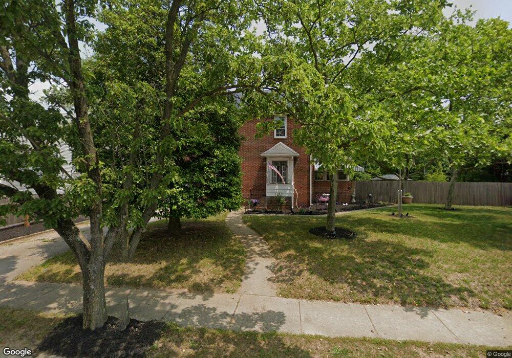
121 Barker Ave Bridgeport, NJ 08014
Logan Township NeighborhoodEstimated Value: $241,342 - $286,000
--
Bed
--
Bath
1,352
Sq Ft
$196/Sq Ft
Est. Value
About This Home
This home is located at 121 Barker Ave, Bridgeport, NJ 08014 and is currently estimated at $264,586, approximately $195 per square foot. 121 Barker Ave is a home located in Gloucester County with nearby schools including Logan Township Elementary School, Frederick Douglass Christian School, and Faith Temple Christian School.
Ownership History
Date
Name
Owned For
Owner Type
Purchase Details
Closed on
Dec 28, 2001
Sold by
Seiverd Franklin James
Bought by
Justis Albert J and Justis Helen E
Current Estimated Value
Home Financials for this Owner
Home Financials are based on the most recent Mortgage that was taken out on this home.
Original Mortgage
$103,150
Outstanding Balance
$40,860
Interest Rate
6.61%
Mortgage Type
FHA
Estimated Equity
$223,726
Create a Home Valuation Report for This Property
The Home Valuation Report is an in-depth analysis detailing your home's value as well as a comparison with similar homes in the area
Home Values in the Area
Average Home Value in this Area
Purchase History
| Date | Buyer | Sale Price | Title Company |
|---|---|---|---|
| Justis Albert J | $104,000 | -- |
Source: Public Records
Mortgage History
| Date | Status | Borrower | Loan Amount |
|---|---|---|---|
| Open | Justis Albert J | $103,150 |
Source: Public Records
Tax History Compared to Growth
Tax History
| Year | Tax Paid | Tax Assessment Tax Assessment Total Assessment is a certain percentage of the fair market value that is determined by local assessors to be the total taxable value of land and additions on the property. | Land | Improvement |
|---|---|---|---|---|
| 2025 | $3,218 | $247,500 | $56,300 | $191,200 |
| 2024 | $3,071 | $247,500 | $56,300 | $191,200 |
| 2023 | $3,071 | $152,800 | $33,800 | $119,000 |
| 2022 | $3,192 | $152,800 | $33,800 | $119,000 |
| 2021 | $2,315 | $152,800 | $33,800 | $119,000 |
| 2020 | $3,323 | $152,800 | $33,800 | $119,000 |
| 2019 | $3,319 | $152,800 | $33,800 | $119,000 |
| 2018 | $3,227 | $152,800 | $33,800 | $119,000 |
| 2017 | $4,209 | $167,900 | $31,500 | $136,400 |
| 2016 | $4,140 | $167,900 | $31,500 | $136,400 |
| 2015 | $3,660 | $167,900 | $31,500 | $136,400 |
| 2014 | $3,549 | $167,900 | $31,500 | $136,400 |
Source: Public Records
Map
Nearby Homes
- 71 Main St
- 126 Repaupo Station Rd
- 43 45 Repaupo Station Rd
- 788 Paulsboro Rd
- 792 Paulsboro Rd
- 17 Hickory Ln
- 752 Duncan Ave
- 159 Mill Rd
- 347 Paulsboro Rd
- 2153 Route 322
- 132 Tomlin Station Rd
- 157 S Poplar St
- 433 Jefferson St
- 12 Parker St
- 112 Carriage Ln
- 0 Rd Unit NJGL2061600
- 100 Giammarino Ave
- 431 Washington St
- 803 W Mary St
- 220 Kerlin St