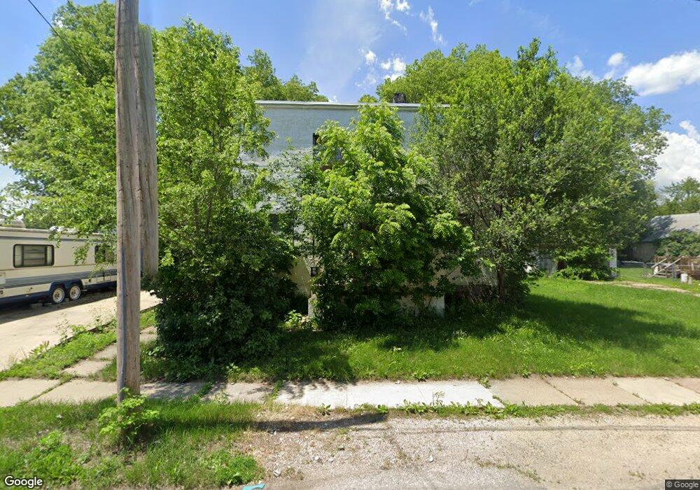
121 Block St Waterloo, IA 50703
Neighbors for Life NeighborhoodEstimated Value: $27,364 - $151,000
4
Beds
2
Baths
1,960
Sq Ft
$50/Sq Ft
Est. Value
About This Home
This home is located at 121 Block St, Waterloo, IA 50703 and is currently estimated at $98,841, approximately $50 per square foot. 121 Block St is a home located in Black Hawk County with nearby schools including Highland Elementary School, George Washington Carver Academy, and East High School.
Ownership History
Date
Name
Owned For
Owner Type
Purchase Details
Closed on
Nov 17, 2020
Sold by
Zheng Ming and Zheng Ying
Bought by
Blt Investments Llc
Current Estimated Value
Purchase Details
Closed on
Feb 1, 2019
Sold by
Lake City Investments Llc
Bought by
Speicher Mary
Purchase Details
Closed on
Sep 28, 2016
Sold by
Tl Properties Ia 2011 Llc
Bought by
Lake City Investments Llc
Purchase Details
Closed on
Oct 1, 2005
Sold by
First National Acceptance Co
Bought by
Rose Land And Finance Corp
Purchase Details
Closed on
Aug 5, 2005
Sold by
Rose Properties
Bought by
Kennedy Mary
Create a Home Valuation Report for This Property
The Home Valuation Report is an in-depth analysis detailing your home's value as well as a comparison with similar homes in the area
Home Values in the Area
Average Home Value in this Area
Purchase History
| Date | Buyer | Sale Price | Title Company |
|---|---|---|---|
| Blt Investments Llc | $5,500 | None Available | |
| Speicher Mary | $20,000 | -- | |
| Lake City Investments Llc | $1,500 | None Available | |
| Rose Land And Finance Corp | -- | None Available | |
| Kennedy Mary | $2,584 | Black Hawk County Abstract C |
Source: Public Records
Tax History
| Year | Tax Paid | Tax Assessment Tax Assessment Total Assessment is a certain percentage of the fair market value that is determined by local assessors to be the total taxable value of land and additions on the property. | Land | Improvement |
|---|---|---|---|---|
| 2025 | $624 | $31,000 | $13,650 | $17,350 |
| 2024 | $624 | $28,730 | $13,650 | $15,080 |
| 2023 | $616 | $28,730 | $13,650 | $15,080 |
| 2022 | $598 | $28,010 | $13,650 | $14,360 |
| 2021 | $518 | $28,010 | $13,650 | $14,360 |
| 2020 | $510 | $22,890 | $8,530 | $14,360 |
| 2019 | $510 | $22,890 | $8,530 | $14,360 |
| 2018 | $510 | $22,890 | $8,530 | $14,360 |
| 2017 | $526 | $22,890 | $8,530 | $14,360 |
| 2016 | $520 | $22,890 | $8,530 | $14,360 |
| 2015 | $520 | $22,890 | $8,530 | $14,360 |
| 2014 | $502 | $21,690 | $8,530 | $13,160 |
Source: Public Records
Map
Nearby Homes
- 1912 Sycamore St
- 822 Colorado St
- 520 Linden Ave
- 1612 Franklin St
- 1421 Mulberry St
- 0 Monroe St Unit Parcel 891230129032
- 0 Monroe St Unit Parcel 891230129033
- 0 Madison St Unit Parcel 891230129029
- 0 Madison St Unit Parcel 891230129030
- 0 Madison St Unit Parcel 891230129028
- 211 Madison St
- 215 Lamont St
- 1127 Independence Ave
- 1235 Independence Ave
- 406-408 Gladys St
- 861 Grindstone Cir
- 0 Irving St
- 47 Zuma St
- 911 Lafayette St Unit 913
- 1437 Vine St
- 125 Block St
- 129 Block St
- 1919 Lafayette St Unit 1921
- 1903 Lafayette St
- 112 Linden Ave
- 120 Block St
- 122 Block St
- 110 Block St
- 110 Linden Ave
- 114 Butler Ave
- 132 Block St
- 106 Block St
- 122 Linden Ave
- 136 Block St
- 213 State St
- 219 State St
- 1827 Lafayette St Unit 1829
- 111 Linden Ave Unit 113
- 203 State St
- 227 State St
Your Personal Tour Guide
Ask me questions while you tour the home.