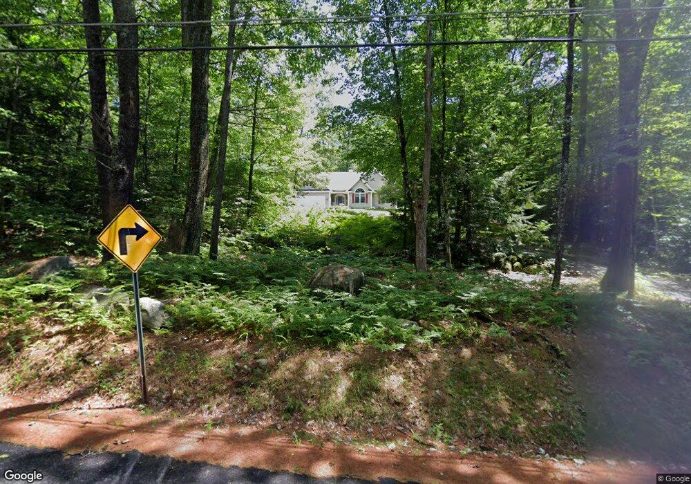
121 Broad Cove Dr Concord, NH 03303
West Concord NeighborhoodEstimated Value: $585,000 - $708,000
3
Beds
2
Baths
2,360
Sq Ft
$267/Sq Ft
Est. Value
About This Home
This home is located at 121 Broad Cove Dr, Concord, NH 03303 and is currently estimated at $629,071, approximately $266 per square foot. 121 Broad Cove Dr is a home located in Merrimack County with nearby schools including Beaver Meadow School, Rundlett Middle School, and Concord High School.
Ownership History
Date
Name
Owned For
Owner Type
Purchase Details
Closed on
Aug 14, 2023
Sold by
Chipman Richard B and Chipman Elizabeth B
Bought by
Pretty Good Ret and Chipman
Current Estimated Value
Purchase Details
Closed on
Dec 16, 2011
Sold by
Fritch Stephen G and Mcgrath-Fritch Kathryn A
Bought by
Chipman Richard B and Chipman Elizabeth B
Home Financials for this Owner
Home Financials are based on the most recent Mortgage that was taken out on this home.
Original Mortgage
$253,000
Interest Rate
4.01%
Mortgage Type
Purchase Money Mortgage
Purchase Details
Closed on
Dec 1, 2005
Sold by
Corbett Thomas B and Corbett Laurie D
Bought by
Fritch Stephen F
Purchase Details
Closed on
Sep 1, 2000
Sold by
Vinewood Dev Co Llc
Bought by
Corbett Thomas B and Corbett Laurie D
Create a Home Valuation Report for This Property
The Home Valuation Report is an in-depth analysis detailing your home's value as well as a comparison with similar homes in the area
Home Values in the Area
Average Home Value in this Area
Purchase History
| Date | Buyer | Sale Price | Title Company |
|---|---|---|---|
| Pretty Good Ret | -- | None Available | |
| Chipman Richard B | $288,000 | -- | |
| Fritch Stephen F | $335,000 | -- | |
| Corbett Thomas B | $200,000 | -- |
Source: Public Records
Mortgage History
| Date | Status | Borrower | Loan Amount |
|---|---|---|---|
| Previous Owner | Corbett Thomas B | $253,000 | |
| Previous Owner | Corbett Thomas B | $227,000 | |
| Previous Owner | Corbett Thomas B | $230,000 | |
| Previous Owner | Corbett Thomas B | $230,000 |
Source: Public Records
Tax History Compared to Growth
Tax History
| Year | Tax Paid | Tax Assessment Tax Assessment Total Assessment is a certain percentage of the fair market value that is determined by local assessors to be the total taxable value of land and additions on the property. | Land | Improvement |
|---|---|---|---|---|
| 2024 | $11,054 | $399,200 | $125,500 | $273,700 |
| 2023 | $10,723 | $399,200 | $125,500 | $273,700 |
| 2022 | $10,335 | $399,200 | $125,500 | $273,700 |
| 2021 | $10,028 | $399,200 | $125,500 | $273,700 |
| 2020 | $9,519 | $355,700 | $93,700 | $262,000 |
| 2019 | $9,523 | $342,800 | $85,800 | $257,000 |
| 2018 | $9,072 | $321,800 | $77,000 | $244,800 |
| 2017 | $8,780 | $310,900 | $77,900 | $233,000 |
| 2016 | $8,182 | $295,700 | $77,900 | $217,800 |
| 2015 | $7,524 | $272,700 | $77,900 | $194,800 |
| 2014 | $7,311 | $272,700 | $77,900 | $194,800 |
| 2013 | -- | $267,400 | $77,900 | $189,500 |
| 2012 | -- | $279,300 | $77,900 | $201,400 |
Source: Public Records
Map
Nearby Homes
- 148 Broad Cove Dr
- 50 Weir Rd
- 95 Blackwater Rd
- 106 Stacey Dr
- 155 Pamela Dr
- 356 E Penacook Rd
- 3 Cabernet Dr Unit 3
- 3 Merlot Ct Unit 4
- 130 Borough Rd
- 13 Cheryl Dr
- 14 S Emperor Dr
- 18 Dawn Dr
- 49 Skyline Dr
- 19 Bluffs Dr
- 37 Rex Dr
- 20 Millstream Ln
- 13 Whitewater Dr
- 9 Duke Ln
- 129 Fisherville Rd Unit 4
- 129 Fisherville Rd Unit 8
- 127 Broad Cove Dr
- 114 Broad Cove Dr
- 131 Broad Cove Dr
- 110 Broad Cove Dr
- 109 Broad Cove Dr
- 265 Elkins Rd
- 118 Broad Cove Dr
- 135 Broad Cove Dr
- 71 Runnells Rd
- 140 Broad Cove Dr
- 141 Broad Cove Dr
- 145 Broad Cove Dr
- 80 Runnells Rd
- 138 Broad Cove Dr
- 144 Broad Cove Dr
- 74 Runnells Rd
- 149 Broad Cove Dr
- 67 Runnells Rd
- 150 Broad Cove Dr
- 70 Runnells Rd