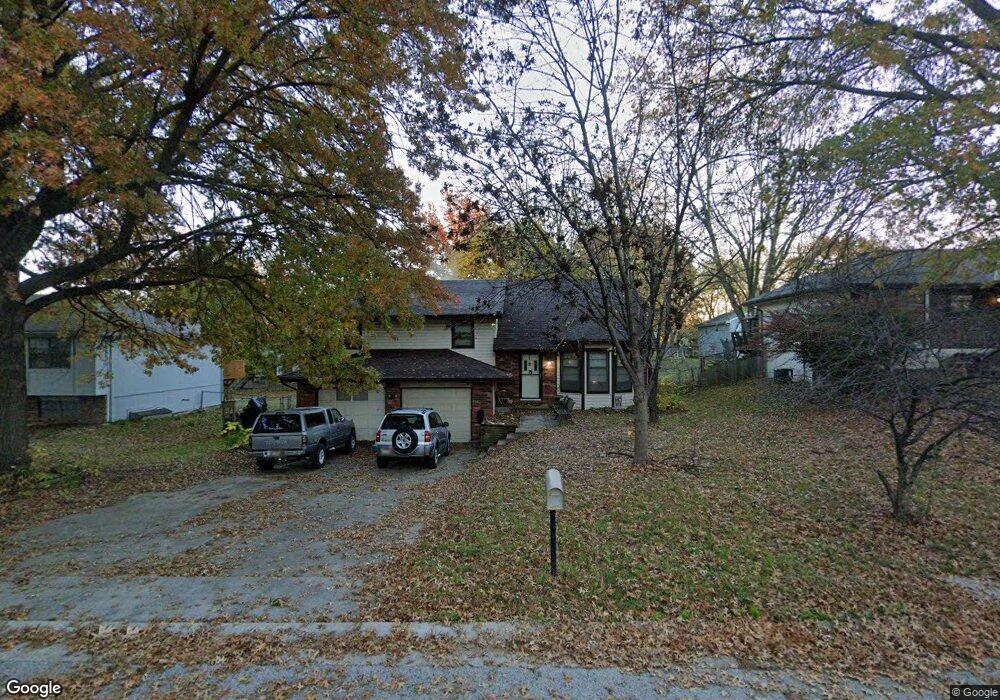
121 Brookridge St Lansing, KS 66043
Estimated Value: $245,000 - $354,000
4
Beds
3
Baths
1,348
Sq Ft
$213/Sq Ft
Est. Value
About This Home
This home is located at 121 Brookridge St, Lansing, KS 66043 and is currently estimated at $286,801, approximately $212 per square foot. 121 Brookridge St is a home located in Leavenworth County with nearby schools including Lansing Elementary School, Lansing Middle 6-8, and Lansing High 9-12.
Ownership History
Date
Name
Owned For
Owner Type
Purchase Details
Closed on
Nov 12, 2013
Sold by
Matthew Pippenger and Matthew Stephanie
Bought by
Charles Livonia D and Charles Stefanie Livonia
Current Estimated Value
Home Financials for this Owner
Home Financials are based on the most recent Mortgage that was taken out on this home.
Original Mortgage
$145,620
Outstanding Balance
$108,854
Interest Rate
4.29%
Mortgage Type
New Conventional
Estimated Equity
$177,947
Create a Home Valuation Report for This Property
The Home Valuation Report is an in-depth analysis detailing your home's value as well as a comparison with similar homes in the area
Home Values in the Area
Average Home Value in this Area
Purchase History
| Date | Buyer | Sale Price | Title Company |
|---|---|---|---|
| Charles Livonia D | $182,025 | Kansas Secured Title |
Source: Public Records
Mortgage History
| Date | Status | Borrower | Loan Amount |
|---|---|---|---|
| Open | Charles Livonia D | $145,620 |
Source: Public Records
Tax History Compared to Growth
Tax History
| Year | Tax Paid | Tax Assessment Tax Assessment Total Assessment is a certain percentage of the fair market value that is determined by local assessors to be the total taxable value of land and additions on the property. | Land | Improvement |
|---|---|---|---|---|
| 2025 | $3,819 | $23,322 | $5,173 | $18,149 |
| 2024 | $3,559 | $28,680 | $4,080 | $24,600 |
| 2023 | $3,559 | $27,577 | $4,080 | $23,497 |
| 2022 | $3,422 | $25,070 | $3,102 | $21,968 |
| 2021 | $3,920 | $21,528 | $3,102 | $18,426 |
| 2020 | $3,926 | $20,746 | $3,102 | $17,644 |
| 2019 | $2,809 | $19,279 | $3,102 | $16,177 |
| 2018 | $2,925 | $18,124 | $2,551 | $15,573 |
| 2017 | $2,567 | $17,609 | $2,551 | $15,058 |
| 2016 | $2,542 | $17,434 | $2,551 | $14,883 |
| 2015 | $2,708 | $18,607 | $2,551 | $16,056 |
| 2014 | $2,652 | $18,607 | $2,551 | $16,056 |
Source: Public Records
Map
Nearby Homes
- 119 Brookridge St
- 123 Brookridge St
- 224 Bittersweet Ln
- 232 Bittersweet Ln
- 117 Brookridge St
- 304 Bittersweet Ln
- 122 Brookridge St
- 127 Brookridge St
- 115 Brookridge St
- 208 Bittersweet Ln
- 312 Bittersweet Ln
- 124 Brookridge St
- 114 Brookridge St
- 103 Daisy St
- 101 Daisy St
- 129 Brookridge St
- 113 Brookridge St
- 326 Oakhill St
- 200 Bittersweet Ln
- 105 Daisy St