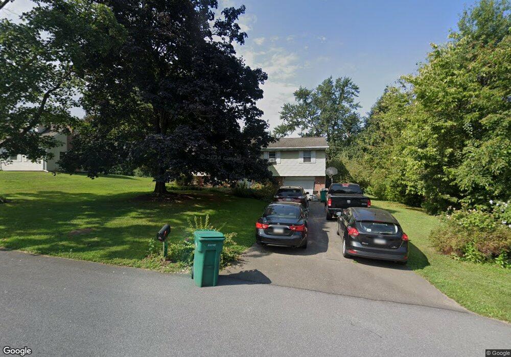
121 Carol Dr Washington Boro, PA 17582
Manor Township NeighborhoodEstimated Value: $314,755 - $384,000
4
Beds
2
Baths
1,264
Sq Ft
$275/Sq Ft
Est. Value
About This Home
This home is located at 121 Carol Dr, Washington Boro, PA 17582 and is currently estimated at $347,439, approximately $274 per square foot. 121 Carol Dr is a home located in Lancaster County with nearby schools including Letort Elementary School, Manor Middle School, and Penn Manor High School.
Ownership History
Date
Name
Owned For
Owner Type
Purchase Details
Closed on
Jan 26, 2006
Sold by
Schiano Gary D and Schiano Krista J
Bought by
Flaherty Brian and Flaherty Traci L
Current Estimated Value
Home Financials for this Owner
Home Financials are based on the most recent Mortgage that was taken out on this home.
Original Mortgage
$110,150
Outstanding Balance
$62,120
Interest Rate
6.23%
Mortgage Type
Purchase Money Mortgage
Estimated Equity
$285,319
Create a Home Valuation Report for This Property
The Home Valuation Report is an in-depth analysis detailing your home's value as well as a comparison with similar homes in the area
Home Values in the Area
Average Home Value in this Area
Purchase History
| Date | Buyer | Sale Price | Title Company |
|---|---|---|---|
| Flaherty Brian | $137,700 | None Available |
Source: Public Records
Mortgage History
| Date | Status | Borrower | Loan Amount |
|---|---|---|---|
| Open | Flaherty Brian | $110,150 |
Source: Public Records
Tax History Compared to Growth
Tax History
| Year | Tax Paid | Tax Assessment Tax Assessment Total Assessment is a certain percentage of the fair market value that is determined by local assessors to be the total taxable value of land and additions on the property. | Land | Improvement |
|---|---|---|---|---|
| 2025 | $3,780 | $173,100 | $62,600 | $110,500 |
| 2024 | $3,780 | $173,100 | $62,600 | $110,500 |
| 2023 | $3,780 | $173,100 | $62,600 | $110,500 |
| 2022 | $3,708 | $173,100 | $62,600 | $110,500 |
| 2021 | $3,615 | $173,100 | $62,600 | $110,500 |
| 2020 | $3,615 | $173,100 | $62,600 | $110,500 |
| 2019 | $3,514 | $173,100 | $62,600 | $110,500 |
| 2018 | $2,719 | $173,100 | $62,600 | $110,500 |
| 2017 | $3,140 | $129,400 | $37,000 | $92,400 |
| 2016 | $3,140 | $129,400 | $37,000 | $92,400 |
| 2015 | $646 | $129,400 | $37,000 | $92,400 |
| 2014 | $2,160 | $129,400 | $37,000 | $92,400 |
Source: Public Records
Map
Nearby Homes
- 3016 Miller Rd
- 133 Bender Mill Rd
- 249 Letort Rd
- 12 Knollwood Rd
- 1016 Keystone Dr
- 1046 Letort Rd
- 1027 Keystone Dr
- 53 Knollwood Rd
- 204 Scarborough Ln
- 140 Knollwood Rd
- 340 Knollwood Rd
- 32 S Duke St
- 31 S Duke St
- 18 Laurelgate Place
- 134 Elizabeth St
- 50 Briargate Place
- Sloane II Plan at Wynfield at Millersville
- Colton II Plan at Wynfield at Millersville
- 102 Village Dr
- Adalee Plan at Wynfield at Millersville
- 119 Carol Dr
- 123 Carol Dr
- 1307 Central Manor Rd
- 118 Carol Dr
- 1313 Central Manor Rd
- 122 Carol Dr
- 1303 Central Manor Rd
- 117 Carol Dr
- 1317 Central Manor Rd
- 104 Spring Meadow Ln
- 102 Spring Meadow Ln
- 114 Carol Dr
- 124 Carol Dr
- 109 Spring Meadow Ln
- 1308 Central Manor Rd
- 100 Spring Meadow Ln
- 1321 Central Manor Rd
- 1312 Central Manor Rd
- 108 Spring Meadow Ln
- 113 Carol Dr