121 Carrie Way Independence, KY 41051
Estimated Value: $257,000 - $300,994
3
Beds
3
Baths
1,176
Sq Ft
$236/Sq Ft
Est. Value
About This Home
This home is located at 121 Carrie Way, Independence, KY 41051 and is currently estimated at $277,499, approximately $235 per square foot. 121 Carrie Way is a home located in Kenton County with nearby schools including Kenton Elementary School, Simon Kenton High School, and St. Cecilia Catholic School.
Ownership History
Date
Name
Owned For
Owner Type
Purchase Details
Closed on
Dec 6, 2013
Sold by
Secretary Of Housing & Urban Development
Bought by
Schrage Jonathan R
Current Estimated Value
Home Financials for this Owner
Home Financials are based on the most recent Mortgage that was taken out on this home.
Original Mortgage
$129,350
Outstanding Balance
$97,775
Interest Rate
4.5%
Mortgage Type
FHA
Estimated Equity
$179,724
Purchase Details
Closed on
Nov 19, 2012
Sold by
Hoffman E Wayne and Hoffman Phyllis M
Bought by
The Secretary Of Housing & Urban Develop
Purchase Details
Closed on
Nov 1, 2007
Sold by
Smith Sandra J and Kloentrup Sandra J
Bought by
Hoffman E Wayne
Home Financials for this Owner
Home Financials are based on the most recent Mortgage that was taken out on this home.
Original Mortgage
$154,787
Interest Rate
6.37%
Mortgage Type
FHA
Create a Home Valuation Report for This Property
The Home Valuation Report is an in-depth analysis detailing your home's value as well as a comparison with similar homes in the area
Home Values in the Area
Average Home Value in this Area
Purchase History
| Date | Buyer | Sale Price | Title Company |
|---|---|---|---|
| Schrage Jonathan R | $120,000 | Kentucky Land Title Agency I | |
| The Secretary Of Housing & Urban Develop | $174,000 | None Available | |
| Hoffman E Wayne | $156,500 | Chicago Title Insurance Co |
Source: Public Records
Mortgage History
| Date | Status | Borrower | Loan Amount |
|---|---|---|---|
| Open | Schrage Jonathan R | $129,350 | |
| Previous Owner | Hoffman E Wayne | $154,787 |
Source: Public Records
Tax History Compared to Growth
Tax History
| Year | Tax Paid | Tax Assessment Tax Assessment Total Assessment is a certain percentage of the fair market value that is determined by local assessors to be the total taxable value of land and additions on the property. | Land | Improvement |
|---|---|---|---|---|
| 2024 | $2,015 | $164,500 | $30,000 | $134,500 |
| 2023 | $2,076 | $164,500 | $30,000 | $134,500 |
| 2022 | $2,139 | $164,500 | $30,000 | $134,500 |
| 2021 | $2,170 | $164,500 | $30,000 | $134,500 |
| 2020 | $1,831 | $135,000 | $25,000 | $110,000 |
| 2019 | $1,836 | $135,000 | $25,000 | $110,000 |
| 2018 | $1,846 | $135,000 | $25,000 | $110,000 |
| 2017 | $1,796 | $135,000 | $25,000 | $110,000 |
| 2015 | $1,554 | $120,000 | $25,000 | $95,000 |
| 2014 | $1,533 | $120,000 | $25,000 | $95,000 |
Source: Public Records
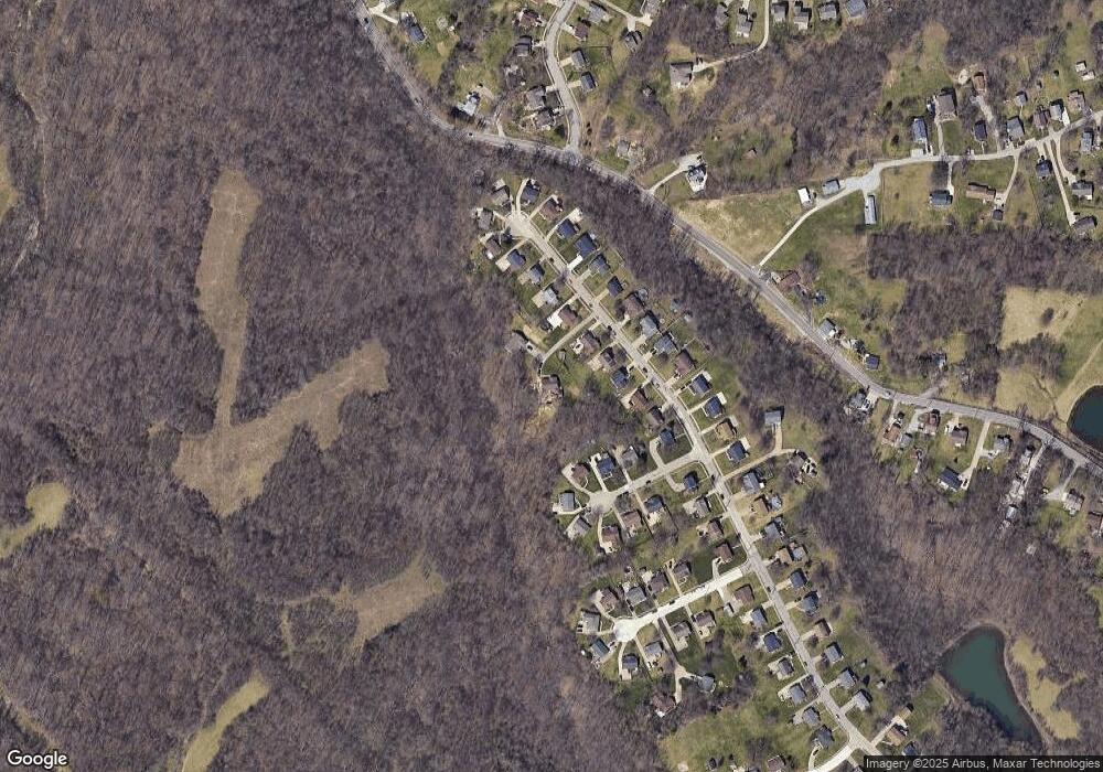
Map
Nearby Homes
- 5234 Madison Pike
- 5151 Noble Ct
- 84 Sherwood Dr
- 64 Sylvan Dr
- 5118 Dana Harvey Ln
- 1365 Cairns Ct
- 9947 Meadow Glen Dr
- 10347 Petersburg Ct
- 5238 Belle Dr
- 10363 Canberra Dr
- 9972 Meadow Glen Dr
- 1199 Hatcher Ct
- 1228 Bull Run
- 10323 Manassas Ct
- 10448 Canberra Dr
- 1253 Shiloh Ct
- 10447 Canberra Dr
- 5359 Fawnview Ct
- 1355 Meadowcrest Cir
- 1375 Meadowcrest Cir
- 119 Carrie Way Dr
- 115 Carrie Way Dr
- 111 Carrie Way Dr
- 125 Carrie Way Dr
- 123 Carrie Way Dr
- 111 Carrie Way
- 129 Carrie Way Dr
- 107 Carrie Way Dr
- 129 Carrie Way
- 5263 Cheyenne Ct
- 107 Carrie Way
- 5259 Cheyenne Ct
- 5255 Cheyenne Ct
- 133 Carrie Way Dr
- 103 Carrie Way Dr
- 133 Carrie Way
- 103 Carrie Way
- 116 Carrie Way
- 124 Carrie Way
- 124 Carrie Way