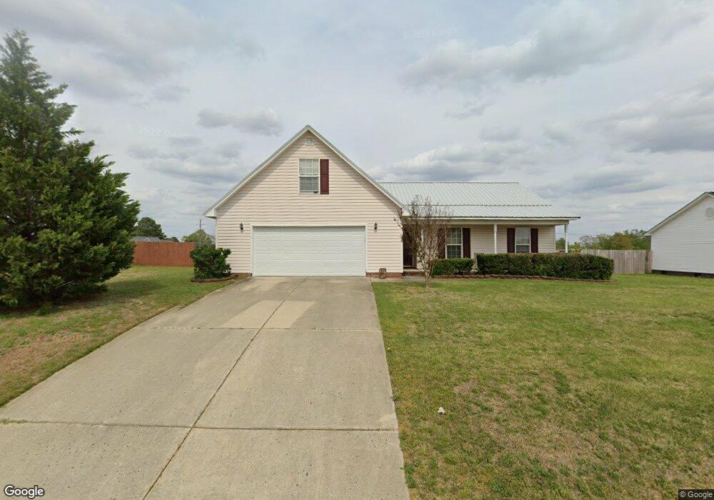
121 Cavalier Dr Raeford, NC 28376
Estimated Value: $234,000 - $253,000
3
Beds
2
Baths
1,403
Sq Ft
$175/Sq Ft
Est. Value
About This Home
This home is located at 121 Cavalier Dr, Raeford, NC 28376 and is currently estimated at $245,196, approximately $174 per square foot. 121 Cavalier Dr is a home located in Hoke County with nearby schools including Don D. Steed Elementary School, East Hoke Middle, and Hoke County High.
Ownership History
Date
Name
Owned For
Owner Type
Purchase Details
Closed on
Nov 10, 2010
Sold by
Walls Todd A and Walls Sharee
Bought by
Herman Leslie A
Current Estimated Value
Home Financials for this Owner
Home Financials are based on the most recent Mortgage that was taken out on this home.
Original Mortgage
$126,943
Outstanding Balance
$83,684
Interest Rate
4.33%
Mortgage Type
New Conventional
Estimated Equity
$161,512
Create a Home Valuation Report for This Property
The Home Valuation Report is an in-depth analysis detailing your home's value as well as a comparison with similar homes in the area
Home Values in the Area
Average Home Value in this Area
Purchase History
| Date | Buyer | Sale Price | Title Company |
|---|---|---|---|
| Herman Leslie A | $122,500 | -- |
Source: Public Records
Mortgage History
| Date | Status | Borrower | Loan Amount |
|---|---|---|---|
| Open | Herman Leslie A | $126,943 |
Source: Public Records
Tax History Compared to Growth
Tax History
| Year | Tax Paid | Tax Assessment Tax Assessment Total Assessment is a certain percentage of the fair market value that is determined by local assessors to be the total taxable value of land and additions on the property. | Land | Improvement |
|---|---|---|---|---|
| 2025 | $1,429 | $160,350 | $24,720 | $135,630 |
| 2024 | $1,429 | $160,350 | $24,720 | $135,630 |
| 2023 | $1,429 | $160,350 | $24,720 | $135,630 |
| 2022 | $1,403 | $160,350 | $24,720 | $135,630 |
| 2021 | $1,210 | $132,780 | $24,000 | $108,780 |
| 2020 | $1,230 | $132,780 | $24,000 | $108,780 |
| 2019 | $1,230 | $132,780 | $24,000 | $108,780 |
| 2018 | $1,230 | $132,780 | $24,000 | $108,780 |
| 2017 | $1,230 | $132,780 | $24,000 | $108,780 |
| 2016 | $1,208 | $132,780 | $24,000 | $108,780 |
| 2015 | $1,208 | $132,780 | $24,000 | $108,780 |
| 2014 | $1,186 | $132,780 | $24,000 | $108,780 |
| 2013 | -- | $115,600 | $18,000 | $97,600 |
Source: Public Records
Map
Nearby Homes
- 148 Haywood Dr
- 128 Meadow Sage St
- 138 Meadow Sage St
- 119 Dolphin Dr
- 266 Ironbark (Lot 48) Dr
- 276 Ironbark (Lot 47) Dr
- 104 Louise Dr
- 152 Meadow Sage St
- 171 Meadow Sage (Lot 121) St
- 195 Meadow Sage (Lot 123) St
- 221 Meadow Sage St
- 218 Ironbark Dr
- Hargrove Plan at Brookstone Village
- Davie Plan at Brookstone Village
- Avery Plan at Brookstone Village
- Springfield Plan at Brookstone Village
- Camellia Plan at Brookstone Village
- Cardinal Plan at Brookstone Village
- Aberdeen Plan at Brookstone Village
- Graham Plan at Brookstone Village
- 119 Cavalier Dr
- 123 Cavalier Dr
- 125 Cavalier Dr
- 122 Cavalier Dr
- 117 Cavalier Dr
- 0 Hwy 401 & Hobson Rd Unit 411721
- 0 Hwy 401 & Hobson Rd Unit 411764
- 124 Cavalier Dr
- 118 Cavalier Dr
- 126 Cavalier Dr
- 1887 Scull Rd
- 468 Hobson Rd
- 115 Cavalier Dr
- 112 Cavalier Dr
- 121 Davenport Dr
- 1883 Scull Rd
- 128 Cavalier Dr
- 111 Cavalier Dr
- 123 Davenport Dr
- 1879 Scull Rd