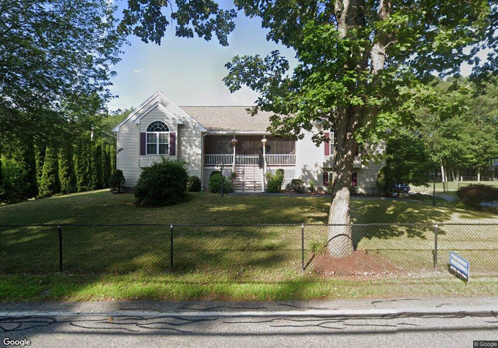
121 Chestnut St Wilmington, MA 01887
Estimated Value: $834,468 - $889,000
2
Beds
3
Baths
1,919
Sq Ft
$449/Sq Ft
Est. Value
About This Home
This home is located at 121 Chestnut St, Wilmington, MA 01887 and is currently estimated at $861,617, approximately $448 per square foot. 121 Chestnut St is a home located in Middlesex County with nearby schools including Wilmington Middle School, Wilmington High School, and Abundant Life Christian School and Childcare.
Ownership History
Date
Name
Owned For
Owner Type
Purchase Details
Closed on
Oct 26, 2011
Sold by
Auriti Franco
Bought by
Ahmed Saad and Ahmed Amina
Current Estimated Value
Home Financials for this Owner
Home Financials are based on the most recent Mortgage that was taken out on this home.
Original Mortgage
$317,900
Outstanding Balance
$217,717
Interest Rate
4.11%
Mortgage Type
Purchase Money Mortgage
Estimated Equity
$643,900
Purchase Details
Closed on
Apr 7, 2003
Sold by
Malenchini Elaine A
Bought by
Auriti Franco
Create a Home Valuation Report for This Property
The Home Valuation Report is an in-depth analysis detailing your home's value as well as a comparison with similar homes in the area
Home Values in the Area
Average Home Value in this Area
Purchase History
| Date | Buyer | Sale Price | Title Company |
|---|---|---|---|
| Ahmed Saad | $374,000 | -- | |
| Auriti Franco | $378,800 | -- |
Source: Public Records
Mortgage History
| Date | Status | Borrower | Loan Amount |
|---|---|---|---|
| Open | Ahmed Saad | $317,900 |
Source: Public Records
Tax History Compared to Growth
Tax History
| Year | Tax Paid | Tax Assessment Tax Assessment Total Assessment is a certain percentage of the fair market value that is determined by local assessors to be the total taxable value of land and additions on the property. | Land | Improvement |
|---|---|---|---|---|
| 2025 | $8,411 | $734,600 | $323,300 | $411,300 |
| 2024 | $8,254 | $722,100 | $323,300 | $398,800 |
| 2023 | $7,779 | $651,500 | $294,000 | $357,500 |
| 2022 | $7,380 | $566,400 | $249,700 | $316,700 |
| 2021 | $7,381 | $533,300 | $229,700 | $303,600 |
| 2020 | $7,119 | $524,200 | $229,700 | $294,500 |
| 2019 | $6,945 | $505,100 | $220,000 | $285,100 |
| 2018 | $6,887 | $477,900 | $210,800 | $267,100 |
| 2017 | $6,822 | $472,100 | $210,800 | $261,300 |
| 2016 | $6,396 | $437,200 | $200,900 | $236,300 |
| 2015 | $6,015 | $418,600 | $200,900 | $217,700 |
| 2014 | $5,619 | $394,600 | $191,500 | $203,100 |
Source: Public Records
Map
Nearby Homes
- 11 Patchs Pond Ln
- 14 Roberts Rd
- 142 Burlington Ave
- 7 Cross St (Units 201 & 202)
- 61 Lowell St
- 7 Cross St Unit 306
- 7 Cross St Unit 304
- 7 Cross St Unit 205
- 9 Parker St
- 17 Molloy Rd
- 27 Fairview Ave
- 21 Spring Valley Rd
- 5 Morse Ave
- 25 Sarah St
- 203 Lowell St Unit 119
- 203 Lowell St Unit 115
- 203 Lowell St Unit 304
- 203 Lowell St Unit 220
- 203 Lowell St Unit 103
- 203 Lowell St Unit 306
- 111 Chestnut St
- 149 Chestnut St Unit R
- 149 Chestnut St
- 109 Chestnut St
- 123 Chestnut St
- 105 Chestnut St
- 151 Chestnut St
- 110 Chestnut St
- 100 Chestnut St
- 145 Chestnut St
- 1 Emery Way
- 112 Chestnut St
- 112 Chestnut St
- 103 Chestnut St
- 98 Chestnut St
- 147 Chestnut St
- 150 Chestnut St
- 165 Chestnut St
- 83 Butters Row
- 152 Chestnut St