121 Cobh Ln Columbus, MS 39701
Estimated Value: $237,000 - $255,000
3
Beds
3
Baths
1,549
Sq Ft
$158/Sq Ft
Est. Value
About This Home
This home is located at 121 Cobh Ln, Columbus, MS 39701 and is currently estimated at $244,285, approximately $157 per square foot. 121 Cobh Ln is a home located in Lowndes County.
Ownership History
Date
Name
Owned For
Owner Type
Purchase Details
Closed on
Jul 25, 2018
Sold by
Demark Donna L
Bought by
Gunter Raymond W
Current Estimated Value
Home Financials for this Owner
Home Financials are based on the most recent Mortgage that was taken out on this home.
Original Mortgage
$164,957
Outstanding Balance
$143,339
Interest Rate
4.62%
Mortgage Type
FHA
Estimated Equity
$100,946
Purchase Details
Closed on
Jul 23, 2018
Sold by
Demark Donna L
Bought by
Gunter Raymond W
Home Financials for this Owner
Home Financials are based on the most recent Mortgage that was taken out on this home.
Original Mortgage
$164,957
Outstanding Balance
$143,339
Interest Rate
4.62%
Mortgage Type
FHA
Estimated Equity
$100,946
Purchase Details
Closed on
Jan 7, 2014
Sold by
Lakanen Stanley John and Lakanen Katrina S
Bought by
Demark Donna L
Home Financials for this Owner
Home Financials are based on the most recent Mortgage that was taken out on this home.
Original Mortgage
$122,550
Interest Rate
4.44%
Mortgage Type
Purchase Money Mortgage
Create a Home Valuation Report for This Property
The Home Valuation Report is an in-depth analysis detailing your home's value as well as a comparison with similar homes in the area
Home Values in the Area
Average Home Value in this Area
Purchase History
| Date | Buyer | Sale Price | Title Company |
|---|---|---|---|
| Gunter Raymond W | -- | -- | |
| Gunter Raymond W | -- | -- | |
| Demark Donna L | -- | -- |
Source: Public Records
Mortgage History
| Date | Status | Borrower | Loan Amount |
|---|---|---|---|
| Open | Gunter Raymond W | $164,957 | |
| Closed | Gunter Raymond W | $164,957 | |
| Previous Owner | Demark Donna L | $122,550 |
Source: Public Records
Tax History Compared to Growth
Tax History
| Year | Tax Paid | Tax Assessment Tax Assessment Total Assessment is a certain percentage of the fair market value that is determined by local assessors to be the total taxable value of land and additions on the property. | Land | Improvement |
|---|---|---|---|---|
| 2025 | $2,284 | $23,751 | $0 | $0 |
| 2024 | $2,265 | $23,751 | $0 | $0 |
| 2023 | $1,995 | $20,997 | $0 | $0 |
| 2022 | $1,996 | $20,997 | $0 | $0 |
| 2021 | $1,921 | $20,997 | $0 | $0 |
| 2020 | $1,814 | $20,997 | $0 | $0 |
| 2019 | $874 | $19,833 | $0 | $0 |
| 2018 | $874 | $19,772 | $0 | $0 |
| 2017 | $821 | $13,181 | $0 | $0 |
| 2016 | $821 | $13,181 | $0 | $0 |
| 2015 | $778 | $12,673 | $0 | $0 |
| 2014 | $778 | $12,673 | $0 | $0 |
Source: Public Records
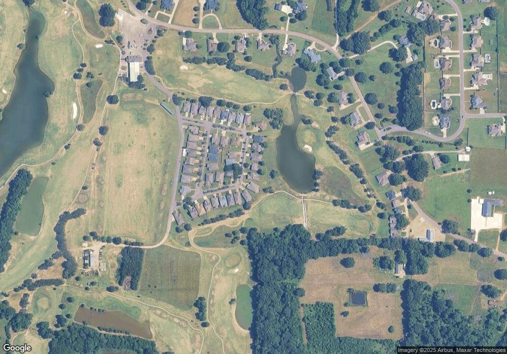
Map
Nearby Homes
- 49 Billy Casper Dr
- 1291 S Frontage Rd
- 23 Breezeway Cove
- 28 Breezeway Cove
- 100 Breezeway Cove
- 112 Breezeway Cove
- 96 Breezeway Cove
- 110 Breezeway Cove
- 0 Golden Horn Rd
- 0 S Frontage Road Lot #5 Unit 25-583
- 0 S Frontage Road Lot #3 Unit 25-581
- 0 S Frontage Road Lot #1 Unit 25-579
- 1381 S Frontage Rd
- 3267 Old West Point Rd
- 2 S Frontage Rd
- 4 S Frontage Rd
- 0 Hwy 45 N Unit 25-1761
- 541 Mount Airey Church Rd
- 1801 Evans Rd
- 5 Clisby Rd