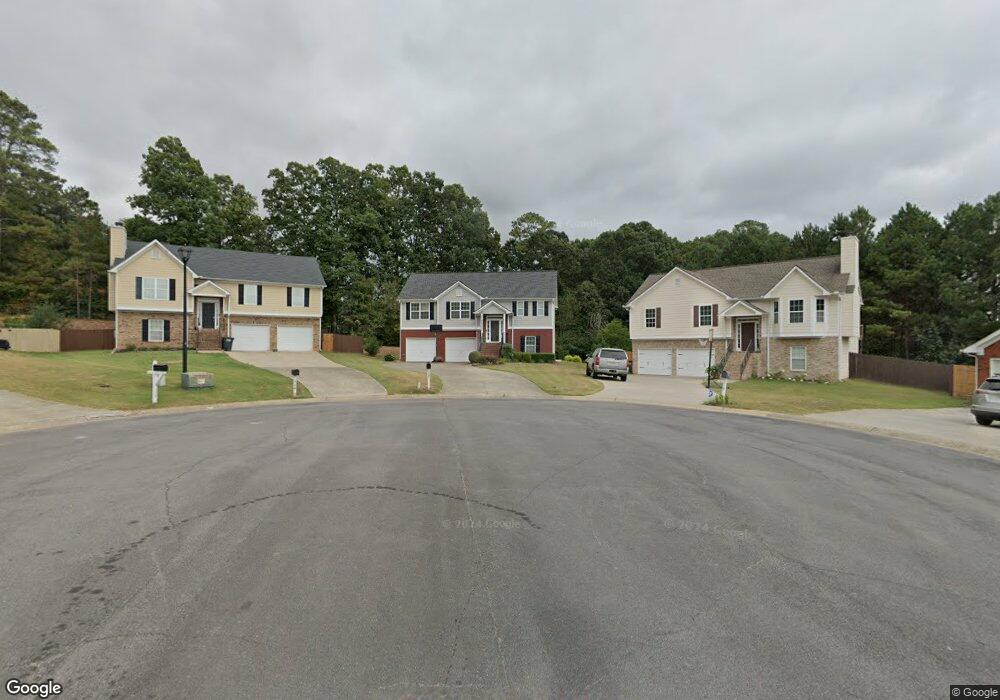
121 Denali Dr Calhoun, GA 30701
Estimated Value: $241,000 - $298,000
3
Beds
2
Baths
1,889
Sq Ft
$141/Sq Ft
Est. Value
About This Home
This home is located at 121 Denali Dr, Calhoun, GA 30701 and is currently estimated at $265,936, approximately $140 per square foot. 121 Denali Dr is a home located in Gordon County with nearby schools including Calhoun Elementary School, Calhoun Middle School, and Calhoun High School.
Ownership History
Date
Name
Owned For
Owner Type
Purchase Details
Closed on
Jun 13, 2006
Sold by
Sanford Gilbert O
Bought by
Guzman Carlos
Current Estimated Value
Home Financials for this Owner
Home Financials are based on the most recent Mortgage that was taken out on this home.
Original Mortgage
$141,550
Outstanding Balance
$81,423
Interest Rate
6.57%
Mortgage Type
New Conventional
Estimated Equity
$184,513
Purchase Details
Closed on
Nov 11, 2005
Sold by
Sanford Gilbert O and Sanford Marion R
Bought by
Sanford Gilbert O and Sanford Marion R
Purchase Details
Closed on
Jul 18, 2005
Sold by
Northwest Contractors Inc
Bought by
Sanford Gilbert O and Sanford Marion R
Home Financials for this Owner
Home Financials are based on the most recent Mortgage that was taken out on this home.
Original Mortgage
$143,325
Interest Rate
5.59%
Mortgage Type
FHA
Purchase Details
Closed on
Apr 15, 2005
Sold by
Riverside Developers Llc
Bought by
Northwest Contractors Inc
Purchase Details
Closed on
Jun 30, 2004
Sold by
Lusk Paul and Darin Hardin
Bought by
Riverside Developers Llc
Create a Home Valuation Report for This Property
The Home Valuation Report is an in-depth analysis detailing your home's value as well as a comparison with similar homes in the area
Purchase History
| Date | Buyer | Sale Price | Title Company |
|---|---|---|---|
| Guzman Carlos | $149,000 | -- | |
| Sanford Gilbert O | -- | -- | |
| Sanford Gilbert O | $144,458 | -- | |
| Northwest Contractors Inc | $26,000 | -- | |
| Riverside Developers Llc | -- | -- |
Source: Public Records
Mortgage History
| Date | Status | Borrower | Loan Amount |
|---|---|---|---|
| Open | Guzman Carlos | $141,550 | |
| Previous Owner | Sanford Gilbert O | $143,325 |
Source: Public Records
Tax History
| Year | Tax Paid | Tax Assessment Tax Assessment Total Assessment is a certain percentage of the fair market value that is determined by local assessors to be the total taxable value of land and additions on the property. | Land | Improvement |
|---|---|---|---|---|
| 2025 | $2,673 | $101,720 | $5,440 | $96,280 |
| 2023 | $2,323 | $82,640 | $5,440 | $77,200 |
| 2022 | $734 | $77,120 | $5,440 | $71,680 |
| 2021 | $1,761 | $59,160 | $4,760 | $54,400 |
| 2020 | $1,751 | $58,360 | $4,760 | $53,600 |
| 2019 | $1,749 | $58,360 | $4,760 | $53,600 |
| 2018 | $491 | $50,960 | $5,200 | $45,760 |
| 2017 | $480 | $48,800 | $5,200 | $43,600 |
| 2016 | $481 | $48,800 | $5,200 | $43,600 |
| 2015 | $480 | $48,080 | $5,200 | $42,880 |
| 2014 | $466 | $47,334 | $5,236 | $42,098 |
Source: Public Records
Map
Nearby Homes
- 377 Cartecay Dr
- 502 Mcginnis Cir
- 803 Riverside Dr
- 516 Mcginnis Cir
- 651 Camelot Cir NW
- 000 Mauldin Rd
- 104 Cornwell Way
- 201 Mcginnis Cir
- 108 Mcginnis Cir
- 103 Mcginnis Cir
- 0 Red Bud Rd NE Unit 7678747
- 145 Green Row
- 140 Green Row
- 106 Windmill Ct
- 104 Windmill Ct
- 103 Waterside Dr
- 113 Waterside Dr
- 237 Sycamore Dr
- 113 Mill Pond Ln
- 98 Echota 5th St
- 119 Denali Dr Unit 37
- 119 Denali Dr
- 124 Denali Dr
- 220 Overlook Dr NW
- 216 Overlook Dr NW
- 117 Denali Dr
- 122 Denali Dr
- 212 Overlook Dr NW
- 137 Avalon Dr
- 137 Avalon Dr Unit 3.00
- 135 Avalon Dr
- 224 Overlook Dr NW
- 139 Avalon Dr
- 139 Avalon Dr Unit 139
- 120 Denali Dr
- 136 Avalon Dr
- 133 Avalon Dr
- 208 Overlook Dr NW
- 131 Avalon Dr
- 115 Denali Dr
Your Personal Tour Guide
Ask me questions while you tour the home.