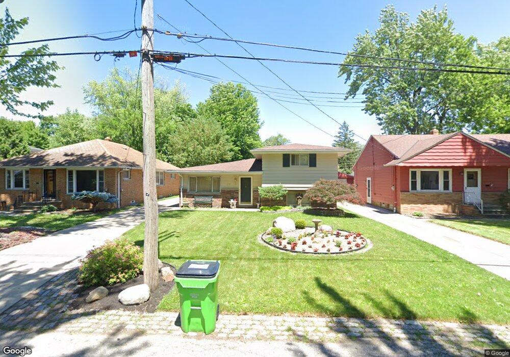
121 E 192nd St Cleveland, OH 44119
Estimated Value: $193,094 - $230,000
3
Beds
2
Baths
1,786
Sq Ft
$115/Sq Ft
Est. Value
About This Home
This home is located at 121 E 192nd St, Cleveland, OH 44119 and is currently estimated at $205,024, approximately $114 per square foot. 121 E 192nd St is a home located in Cuyahoga County with nearby schools including Arbor Elementary School, Euclid Middle School, and Euclid High School.
Ownership History
Date
Name
Owned For
Owner Type
Purchase Details
Closed on
Jan 23, 1998
Sold by
Baus Marjorie J
Bought by
Amorso John
Current Estimated Value
Home Financials for this Owner
Home Financials are based on the most recent Mortgage that was taken out on this home.
Original Mortgage
$73,900
Outstanding Balance
$12,939
Interest Rate
7.24%
Estimated Equity
$192,085
Purchase Details
Closed on
Apr 17, 1980
Sold by
Davison Earl J
Bought by
Davison Ruth D
Purchase Details
Closed on
Jan 1, 1975
Bought by
Davison Earl J
Create a Home Valuation Report for This Property
The Home Valuation Report is an in-depth analysis detailing your home's value as well as a comparison with similar homes in the area
Home Values in the Area
Average Home Value in this Area
Purchase History
| Date | Buyer | Sale Price | Title Company |
|---|---|---|---|
| Amorso John | $87,500 | Enterprise Title Agency Inc | |
| Davison Ruth D | -- | -- | |
| Davison Earl J | -- | -- |
Source: Public Records
Mortgage History
| Date | Status | Borrower | Loan Amount |
|---|---|---|---|
| Open | Amorso John | $73,900 |
Source: Public Records
Tax History
| Year | Tax Paid | Tax Assessment Tax Assessment Total Assessment is a certain percentage of the fair market value that is determined by local assessors to be the total taxable value of land and additions on the property. | Land | Improvement |
|---|---|---|---|---|
| 2024 | $4,336 | $63,700 | $12,985 | $50,715 |
| 2023 | $3,856 | $45,120 | $10,750 | $34,370 |
| 2022 | $3,768 | $45,115 | $10,745 | $34,370 |
| 2021 | $4,207 | $45,120 | $10,750 | $34,370 |
| 2020 | $4,266 | $41,760 | $9,940 | $31,820 |
| 2019 | $3,841 | $119,300 | $28,400 | $90,900 |
| 2018 | $3,756 | $41,760 | $9,940 | $31,820 |
| 2017 | $3,947 | $35,460 | $8,470 | $26,990 |
| 2016 | $3,956 | $35,460 | $8,470 | $26,990 |
| 2015 | $3,597 | $35,460 | $8,470 | $26,990 |
| 2014 | $3,597 | $35,460 | $8,470 | $26,990 |
Source: Public Records
Map
Nearby Homes
- 94 E 196th St
- 175 E 194th St
- 19131 S Lake Shore Blvd
- 174 E 200th St
- 304 E 197th St
- 19031 Locherie Ave
- 19380 Newton Ave
- 311 E 197th St
- 275 E 200th St
- 71 E 201st St
- 20330 S Lake Shore Blvd
- 20261 Fuller Ave
- 20424 Lake Shore Blvd
- 19344 Pasnow Ave
- 20700 Crystal Ave
- 20591 Ball Ave
- 19330 Naumann Ave
- 17930 Rosecliff Rd
- 20500 Morris Ave
- 20671 Wilmore Ave
Your Personal Tour Guide
Ask me questions while you tour the home.