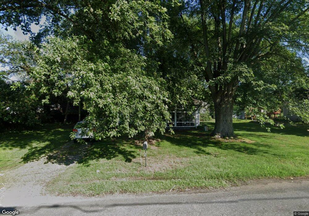
121 Fey Rd Chestertown, MD 21620
Kingstown NeighborhoodEstimated Value: $173,000 - $371,000
--
Bed
2
Baths
1,032
Sq Ft
$249/Sq Ft
Est. Value
About This Home
This home is located at 121 Fey Rd, Chestertown, MD 21620 and is currently estimated at $257,039, approximately $249 per square foot. 121 Fey Rd is a home located in Queen Anne's County with nearby schools including Church Hill Elementary School, Sudlersville Middle School, and Queen Anne's County High School.
Ownership History
Date
Name
Owned For
Owner Type
Purchase Details
Closed on
Jan 22, 2009
Sold by
Squares Norman Jay
Bought by
Squares Norman Jay and Squares Dana
Current Estimated Value
Purchase Details
Closed on
Jan 20, 2008
Sold by
Squares Norman Jay
Bought by
Squares Norman Jay and Squares Dana
Purchase Details
Closed on
Jun 26, 2000
Sold by
Linn Perry P and Linn Judy H
Bought by
Squares Norman Jay
Purchase Details
Closed on
Jun 29, 1998
Sold by
Legg James V
Bought by
Linn Perry P and Linn Judy H
Create a Home Valuation Report for This Property
The Home Valuation Report is an in-depth analysis detailing your home's value as well as a comparison with similar homes in the area
Home Values in the Area
Average Home Value in this Area
Purchase History
| Date | Buyer | Sale Price | Title Company |
|---|---|---|---|
| Squares Norman Jay | -- | -- | |
| Squares Norman Jay | -- | -- | |
| Squares Norman Jay | $68,000 | -- | |
| Linn Perry P | $62,000 | -- |
Source: Public Records
Mortgage History
| Date | Status | Borrower | Loan Amount |
|---|---|---|---|
| Closed | Linn Perry P | -- |
Source: Public Records
Tax History Compared to Growth
Tax History
| Year | Tax Paid | Tax Assessment Tax Assessment Total Assessment is a certain percentage of the fair market value that is determined by local assessors to be the total taxable value of land and additions on the property. | Land | Improvement |
|---|---|---|---|---|
| 2025 | $1,513 | $154,200 | $75,000 | $79,200 |
| 2024 | $1,449 | $147,500 | $0 | $0 |
| 2023 | $1,386 | $140,800 | $0 | $0 |
| 2022 | $1,323 | $134,100 | $70,500 | $63,600 |
| 2021 | $0 | $130,267 | $0 | $0 |
| 2020 | $1,273 | $126,433 | $0 | $0 |
| 2019 | $1,236 | $122,600 | $70,500 | $52,100 |
| 2018 | $1,236 | $122,600 | $70,500 | $52,100 |
| 2017 | $1,236 | $122,600 | $0 | $0 |
| 2016 | -- | $125,000 | $0 | $0 |
| 2015 | $1,337 | $125,000 | $0 | $0 |
| 2014 | $1,337 | $125,000 | $0 | $0 |
Source: Public Records
Map
Nearby Homes
- 0 East St
- 105 High St
- 228 S Water St
- 206 S Water St
- 101 Birch Run Rd
- 206 Cannon St
- 303 E Campus Ave
- 213 Central Dr
- 200 Washington Ave
- 349 & 351 High St
- 349 High St
- 108 Little Harbor Way
- 104 Little Harbor Way
- 0 Little Harbor Way Unit 1
- 0 Little Harbor Way Unit 1 MDKE2004992
- 118 Little Harbor Way Unit 202
- 102 Little Harbor Way
- 206 Valley Rd
- 36 Landing Ln
- 222 Mount Vernon Ave
- 105 Pine Chip Rd
- 125 Fey Rd
- 113 Pine Chip Rd
- 120 Fey Rd
- 100 Pine Chip Rd
- 210 Greenhouse Ln
- 104 Pine Chip Rd
- 117 Pine Chip Rd
- 112 Fey Rd
- 108 Pine Chip Rd
- 204 Fey Rd
- 229 Duke of Kent St
- 221 Duke of Kent St
- 233 Duke of Kent St
- 112 Pine Chip Rd
- 209 Greenhouse Ln
- 208 Fey Rd
- 209 Fey Rd
- 121 Pine Chip Rd
- 109 Fey Rd