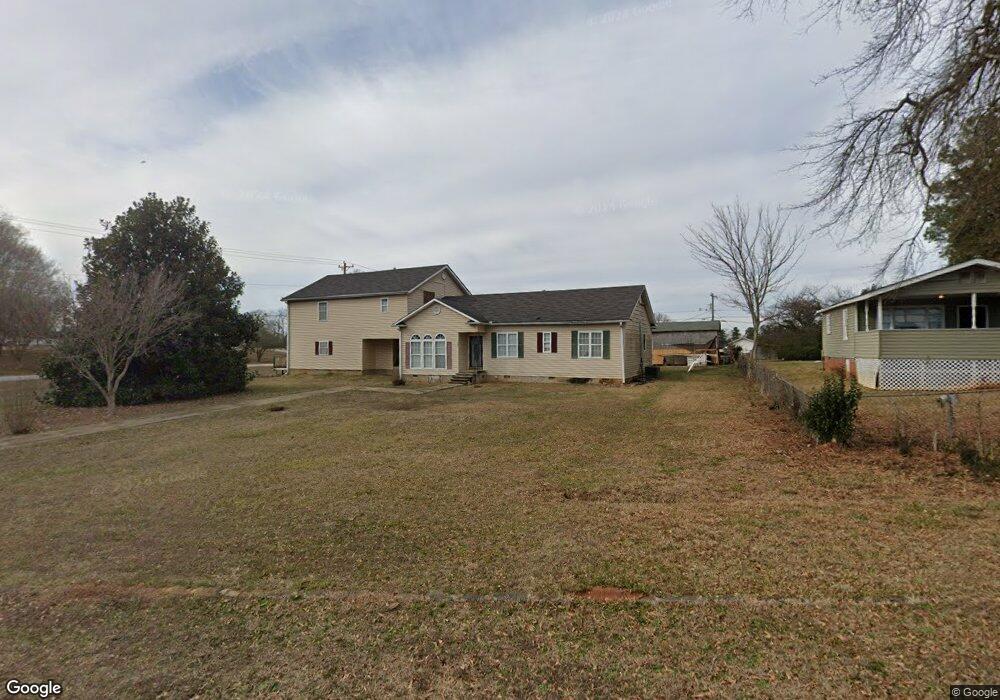
121 Griswald Cir Unit 11 Spartanburg, SC 29302
Estimated Value: $235,000 - $293,000
3
Beds
2
Baths
3,575
Sq Ft
$76/Sq Ft
Est. Value
About This Home
This home is located at 121 Griswald Cir Unit 11, Spartanburg, SC 29302 and is currently estimated at $272,066, approximately $76 per square foot. 121 Griswald Cir Unit 11 is a home located in Spartanburg County with nearby schools including Spartanburg High School.
Ownership History
Date
Name
Owned For
Owner Type
Purchase Details
Closed on
May 9, 2007
Sold by
Tucker Wilson J
Bought by
Morrow Bobby J
Current Estimated Value
Home Financials for this Owner
Home Financials are based on the most recent Mortgage that was taken out on this home.
Original Mortgage
$98,500
Outstanding Balance
$59,915
Interest Rate
6.17%
Mortgage Type
Purchase Money Mortgage
Estimated Equity
$212,152
Purchase Details
Closed on
Oct 12, 2004
Sold by
Morrow Vickie D and Morrow Bobby J
Bought by
Tucker Wilson
Create a Home Valuation Report for This Property
The Home Valuation Report is an in-depth analysis detailing your home's value as well as a comparison with similar homes in the area
Home Values in the Area
Average Home Value in this Area
Purchase History
| Date | Buyer | Sale Price | Title Company |
|---|---|---|---|
| Morrow Bobby J | $86,539 | Jasmine Title Agency Llc | |
| Tucker Wilson | $91,000 | -- |
Source: Public Records
Mortgage History
| Date | Status | Borrower | Loan Amount |
|---|---|---|---|
| Open | Morrow Bobby J | $98,500 |
Source: Public Records
Tax History Compared to Growth
Tax History
| Year | Tax Paid | Tax Assessment Tax Assessment Total Assessment is a certain percentage of the fair market value that is determined by local assessors to be the total taxable value of land and additions on the property. | Land | Improvement |
|---|---|---|---|---|
| 2025 | $1,665 | $7,709 | $1,199 | $6,510 |
| 2024 | $1,665 | $7,709 | $1,199 | $6,510 |
| 2023 | $1,665 | $7,709 | $1,199 | $6,510 |
| 2022 | $1,395 | $6,704 | $960 | $5,744 |
| 2021 | $1,391 | $6,704 | $960 | $5,744 |
| 2020 | $1,374 | $6,704 | $960 | $5,744 |
| 2019 | $1,374 | $6,704 | $960 | $5,744 |
| 2018 | $1,370 | $6,704 | $960 | $5,744 |
| 2017 | $1,221 | $5,960 | $960 | $5,000 |
| 2016 | $1,220 | $5,960 | $960 | $5,000 |
| 2015 | $1,163 | $5,960 | $960 | $5,000 |
| 2014 | $1,135 | $5,960 | $960 | $5,000 |
Source: Public Records
Map
Nearby Homes
- 137 Anderson Dr
- 2504 W Croft Cir
- 117 Wardlaw Ave
- 218 Donavan Dr
- 137 Keltner Cir
- 203 Patch Dr
- 231 Patch Dr
- 530 Patch Dr
- 130 Landis St Unit 3
- 0 Bethesda Rd
- 3420 E Croft Cir
- 1023 Four Mile Branch Rd
- 240 Cotton Creek Dr
- 1154 Edisto Dr
- 1008 Patch Dr
- 216 Dares Ferry Rd
- ESSEX Plan at Riverdale Hills
- BERKSHIRE Plan at Riverdale Hills
- DUPONT Plan at Riverdale Hills
- CABOT Plan at Riverdale Hills
- 129 Griswald Cir Unit 11
- 105 Cedar Springs Ave
- 901 Cedar Springs Ave
- 256 Anderson Dr
- 137 Griswald Cir
- 137 Griswald Cir Unit 11
- 320 Anderson Drive Extension
- 328 Anderson Drive Extension
- 328 Anderson Drive Extension
- 334 Anderson Drive Extension
- 261 Anderson Dr
- 2320 W Croft Cir
- 348 Anderson Drive Extension
- 220 Anderson Dr Unit 10
- 151 Griswold Cir Unit 11
- 251 Anderson Dr
- 2328 W Croft Cir
- 219 Anderson Dr
- 163 Griswald Cir Unit 11
- 356 Anderson Drive Extension Unit 11