121 H and H Rd Tellico Plains, TN 37385
Estimated Value: $243,987 - $371,000
--
Bed
1
Bath
1,232
Sq Ft
$252/Sq Ft
Est. Value
About This Home
This home is located at 121 H and H Rd, Tellico Plains, TN 37385 and is currently estimated at $310,997, approximately $252 per square foot. 121 H and H Rd is a home with nearby schools including Tellico Plains Elementary School, Tellico Plains Junior High School, and Tellico Plains High School.
Ownership History
Date
Name
Owned For
Owner Type
Purchase Details
Closed on
Sep 7, 2021
Sold by
Witt Bill H and Witt Cathy M
Bought by
Cushman Ella M and Cushman Revocable Trust
Current Estimated Value
Purchase Details
Closed on
Sep 13, 2007
Sold by
Witt Bill H
Bought by
Aames Funding Corp
Purchase Details
Closed on
Aug 22, 2001
Sold by
Bill Witt
Bought by
Colman Longworth
Purchase Details
Closed on
Jul 21, 2000
Sold by
Virgil Tuck
Bought by
Virgil Tuck
Purchase Details
Closed on
Jul 15, 1996
Bought by
Witt Bill H
Purchase Details
Closed on
Apr 26, 1994
Bought by
Brown Norman H and Brown Nelda J
Create a Home Valuation Report for This Property
The Home Valuation Report is an in-depth analysis detailing your home's value as well as a comparison with similar homes in the area
Home Values in the Area
Average Home Value in this Area
Purchase History
| Date | Buyer | Sale Price | Title Company |
|---|---|---|---|
| Cushman Ella M | $30,000 | None Available | |
| Aames Funding Corp | -- | -- | |
| Colman Longworth | $2,500 | -- | |
| Virgil Tuck | $20,000 | -- | |
| Witt Bill H | $135,000 | -- | |
| Brown Norman H | $9,500 | -- |
Source: Public Records
Tax History Compared to Growth
Tax History
| Year | Tax Paid | Tax Assessment Tax Assessment Total Assessment is a certain percentage of the fair market value that is determined by local assessors to be the total taxable value of land and additions on the property. | Land | Improvement |
|---|---|---|---|---|
| 2025 | $804 | $52,825 | $0 | $0 |
| 2024 | $804 | $52,825 | $4,075 | $48,750 |
| 2023 | $804 | $52,825 | $4,075 | $48,750 |
| 2022 | $71 | $3,175 | $3,175 | $0 |
| 2021 | $71 | $3,175 | $3,175 | $0 |
| 2020 | $71 | $3,175 | $3,175 | $0 |
| 2019 | $63 | $3,175 | $3,175 | $0 |
| 2018 | $63 | $3,175 | $3,175 | $0 |
| 2017 | $62 | $2,950 | $2,950 | $0 |
| 2016 | $62 | $2,950 | $2,950 | $0 |
| 2015 | $62 | $2,950 | $2,950 | $0 |
| 2014 | $62 | $2,948 | $0 | $0 |
Source: Public Records
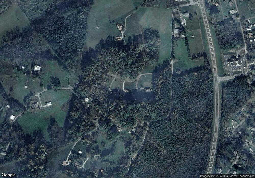
Map
Nearby Homes
- 135 H & H Rd
- 0 Highway 68 Unit 1316530
- 0 Highway 68 Unit 24267548
- 0 Highway 68 Unit 1316540
- 0 Unicoi Church Rd
- 410 Scott St
- 390 Cherohala Skyway
- Trc. 1 Mecca Pike
- Tract 2 Mecca Pike
- 104 Hereford St
- 217 Loomis St
- 207 Loomis St
- 903 Veterans Memorial Dr
- 111 Bryan Hill Dr
- 115 Willowbrook Dr
- 2 Cherohala Skyway
- 434 Unicoi Church Rd
- 125 Indian Ridge Dr
- 552 New Providence Rd
- 285 New Providence Rd
- 157 H and H Rd
- 157 H and H Rd Unit R-142
- 157 H & H Rd
- 135 H and H Rd
- 135 H and H Rd
- 135 H and H Rd
- 135 H&h Rd
- 175 H and H Rd
- 0 H & H Rd Unit 1049810
- 0 H & H Rd Unit 1067666
- H & H Rd
- 168 H and H Rd
- 117 H and H Rd
- 241 High St
- 281 High St
- 275 High St
- 271 High St
- 0 High St Unit 148586
- 0 High St Unit 1122234
- 0 High St Unit 432379