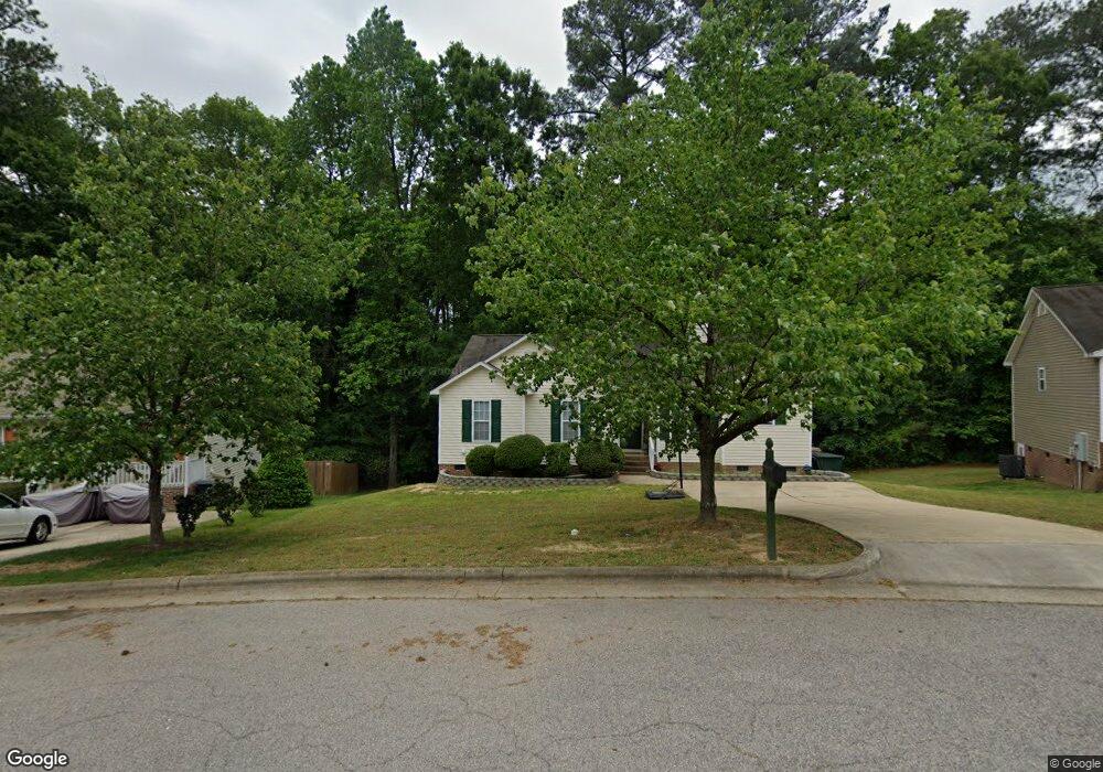
121 Havencrest Landing Garner, NC 27529
Estimated Value: $308,000 - $337,816
3
Beds
2
Baths
1,347
Sq Ft
$237/Sq Ft
Est. Value
About This Home
This home is located at 121 Havencrest Landing, Garner, NC 27529 and is currently estimated at $319,454, approximately $237 per square foot. 121 Havencrest Landing is a home located in Wake County with nearby schools including Creech Road Elementary School, North Garner Middle, and Garner High.
Ownership History
Date
Name
Owned For
Owner Type
Purchase Details
Closed on
Oct 31, 2018
Sold by
Weatherburn Natalie and Young Deanna Renee
Bought by
May Brianne Elizabeth
Current Estimated Value
Home Financials for this Owner
Home Financials are based on the most recent Mortgage that was taken out on this home.
Original Mortgage
$170,236
Outstanding Balance
$149,073
Interest Rate
4.6%
Mortgage Type
New Conventional
Estimated Equity
$170,381
Purchase Details
Closed on
Oct 24, 2012
Bought by
Weatherburn Natalie
Purchase Details
Closed on
Jan 8, 2003
Sold by
Weston Ridge Associates Llc
Bought by
Comfort Homes Inc
Create a Home Valuation Report for This Property
The Home Valuation Report is an in-depth analysis detailing your home's value as well as a comparison with similar homes in the area
Home Values in the Area
Average Home Value in this Area
Purchase History
| Date | Buyer | Sale Price | Title Company |
|---|---|---|---|
| May Brianne Elizabeth | $176,000 | None Available | |
| Weatherburn Natalie | $109,000 | -- | |
| Comfort Homes Inc | $206,500 | -- |
Source: Public Records
Mortgage History
| Date | Status | Borrower | Loan Amount |
|---|---|---|---|
| Open | May Brianne Elizabeth | $170,236 |
Source: Public Records
Tax History Compared to Growth
Tax History
| Year | Tax Paid | Tax Assessment Tax Assessment Total Assessment is a certain percentage of the fair market value that is determined by local assessors to be the total taxable value of land and additions on the property. | Land | Improvement |
|---|---|---|---|---|
| 2025 | $3,461 | $331,768 | $120,000 | $211,768 |
| 2024 | $3,449 | $331,768 | $120,000 | $211,768 |
| 2023 | $2,357 | $182,031 | $38,000 | $144,031 |
| 2022 | $2,153 | $182,031 | $38,000 | $144,031 |
| 2021 | $2,044 | $182,031 | $38,000 | $144,031 |
| 2020 | $2,017 | $182,031 | $38,000 | $144,031 |
| 2019 | $1,722 | $132,922 | $30,000 | $102,922 |
| 2018 | $1,598 | $132,922 | $30,000 | $102,922 |
| 2017 | $1,545 | $132,922 | $30,000 | $102,922 |
| 2016 | $1,526 | $132,922 | $30,000 | $102,922 |
| 2015 | $1,566 | $136,586 | $34,000 | $102,586 |
| 2014 | $1,492 | $136,586 | $34,000 | $102,586 |
Source: Public Records
Map
Nearby Homes
- Greystone Plan at Buffalo Towns
- Magnolia Plan at Buffalo Towns
- Cobblestone Plan at Buffalo Towns
- 4412 Green Spring Dr
- 111 Plumgrove Ln
- 199 Fountainhead Ln
- 200 Fountainhead Ln
- 301 Tennyson Dr
- 161 Fountainhead Ln
- 123 W Fountainhead Ln
- 681 Ravensworth Dr
- 104 Westonridge Run
- 801 Powell Dr
- 306 Virginia Ave
- 406 Avery St
- 1409 Foxwood Dr
- 3817 Cason St
- 300 Loop Rd
- 507 Forest Ridge Rd
- 163 Creek Commons Ave
- 117 Havencrest Landing
- 115 Villavista Trace
- 113 Havencrest Landing
- 109 Villavista Trace
- 127 Villavista Trace
- 123 Villavista Trace
- 116 Havencrest Landing
- 131 Villavista Trace
- 511 Westonridge Run
- 109 Havencrest Landing
- 104 Havencrest Landing
- 120 Vista Ridge Ln
- 108 Villavista Trace
- 105 Havencrest Landing
- 1248 Curtiss Dr Unit 14
- 112 Villavista Trace
- 1228 Curtiss Dr
- 104 Villavista Trace
- 124 Villavista Trace
- 128 Villavista Trace